
 This is a strange loop, with some lovely riding along silky smooth, newly paved roads (as of May, 2022), then 20 miles of tough dirt road, finishing with about 24 miles along the I-19 frontage road. The whole ride is 82.2 miles with about 4,800 feet of climbing, about half of which is on the dirt road section. Here’s a map and profile of the ride.
Drive down I-19 for 37 miles from the intersection of I-10 and I-19 then take Exit 48 to Arivaca. Turn right, then at the T-junction turn right again and park in one of the big parking areas near the Longhorn Grill.
Head west on Arivaca Road and follow the road as it rolls uphill for 20 miles to the high-point. From here it rolls downhill for 3 miles to the pretty little town of Arivaca. In Arivaca, turn left onto Ruby Road, and ride this delicious road as it snakes and winds uphill for about 5 miles to where the road turns to dirt.
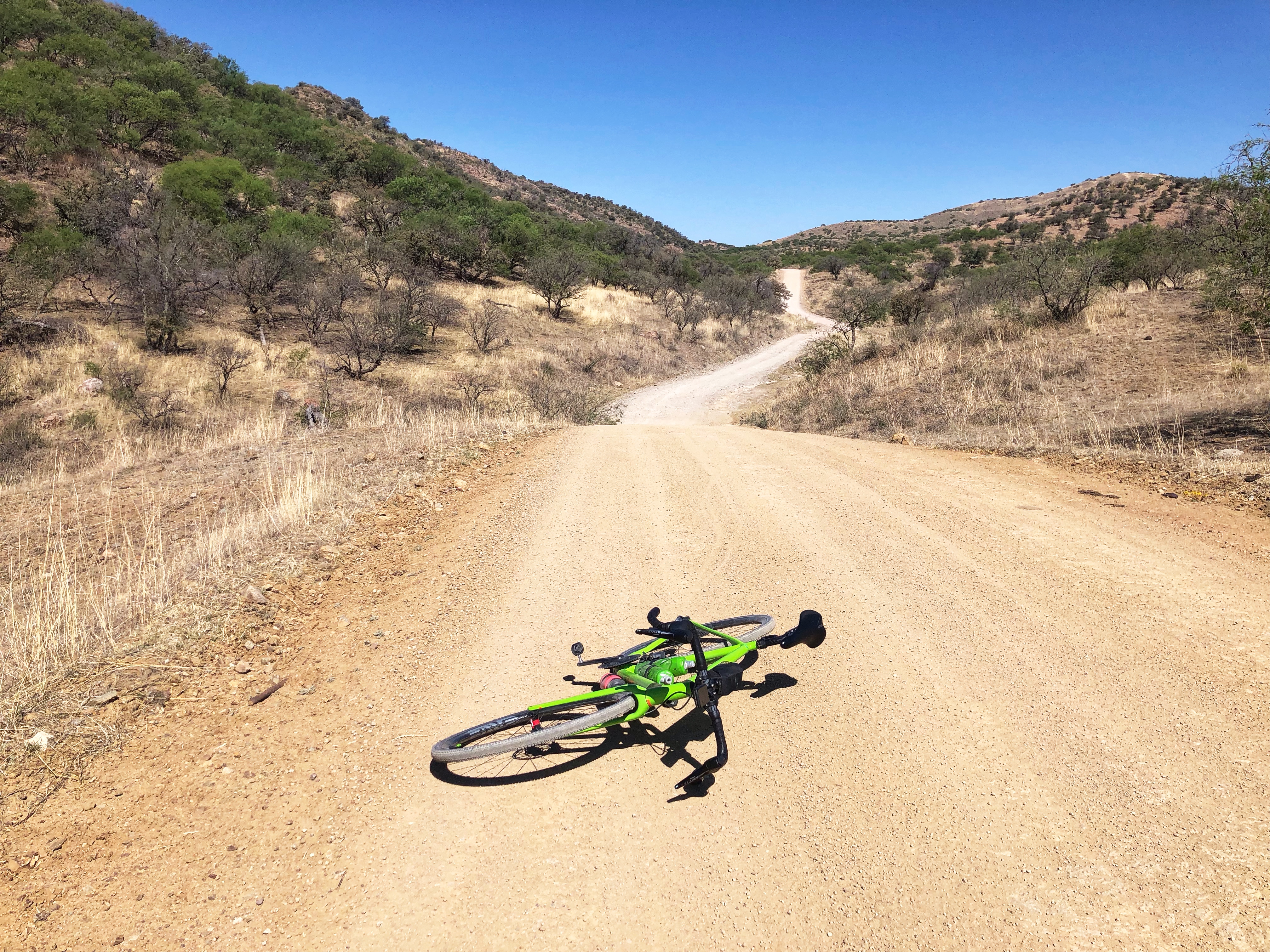
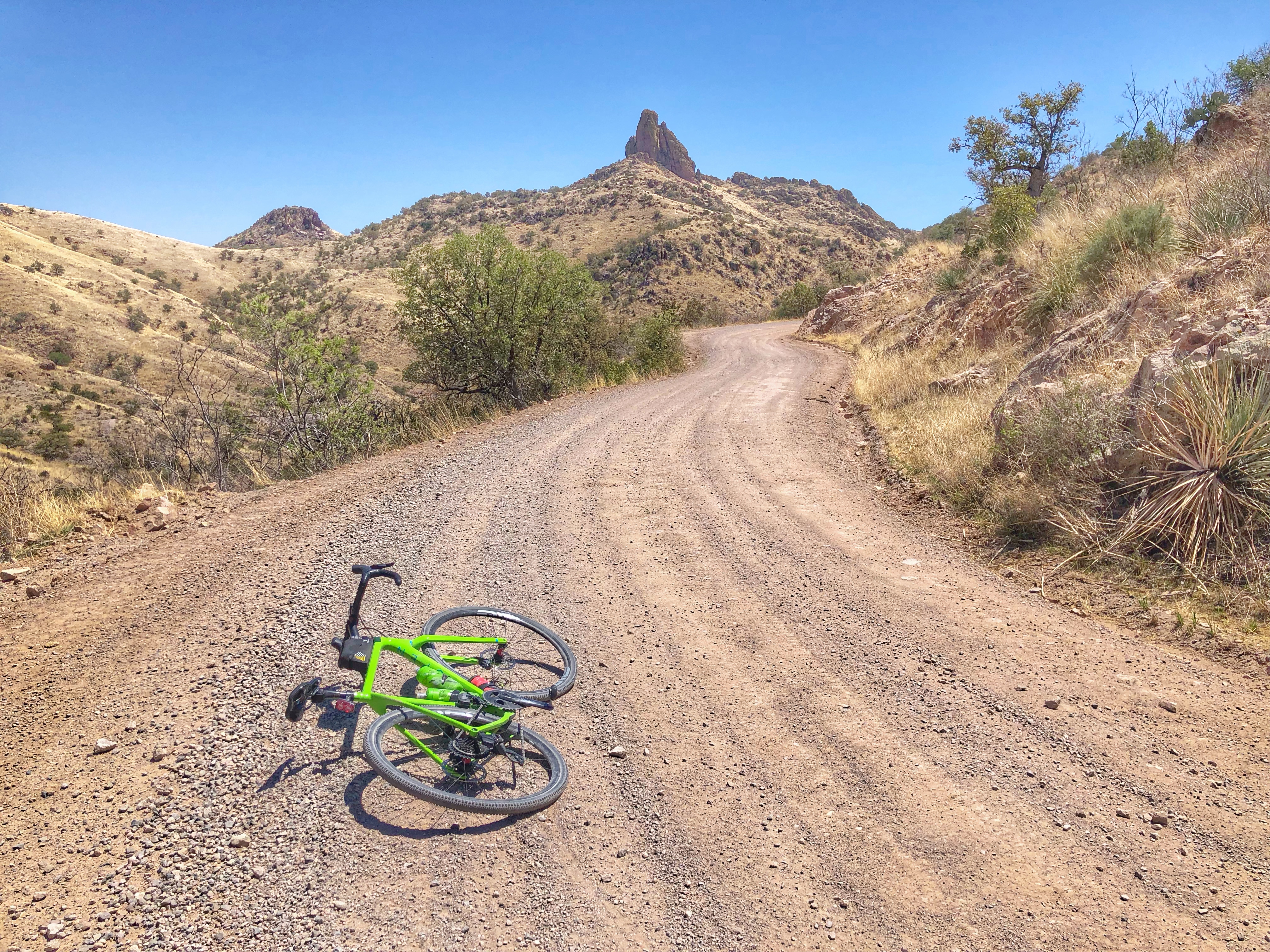 Follow this dirt road for 20 miles as it twists and turns with many climbs and descents. When I first rode Ruby Road in May 2020 the road was well graded, but in May 2022 there was a lot more washboard than I liked, making the ride both slower and more painful.
After about 20 miles of dirt the road changes to pavement and you reach an intersection. Turn right following the sign for Nogales, and you are soon faced with two steep and tough hill. Fortunately after that it’s all downhill and in 10 miles you reach I-19.
Cross I-19 and refuel at the big Pilot gas station, then take the East Frontage Road until you reach Rio Rico Road. Cross I-19 to the west and take the West Frontage Road until you reach a sort-of-roundabout. Cross I-19 to the east again, then get I-19 itself for a bit less than a mile then take the first exit. Again follow the frontage road until you have to get back on I-19 to go through Border Control, then exit at the first opportunity. Again, ride along the frontage road past Tumacacori, Tubac, and Amado, then at the first opportunity after Amado turn left under the Interstate and back to your car.
If you find the I-19 instructions confusing, either make sure you can look at a map on your phone or download the GPX file and use that on your bike computer.
