
Here is a page that gives maps of many of the road rides in the Grand Junction area.
Colorado National Monument
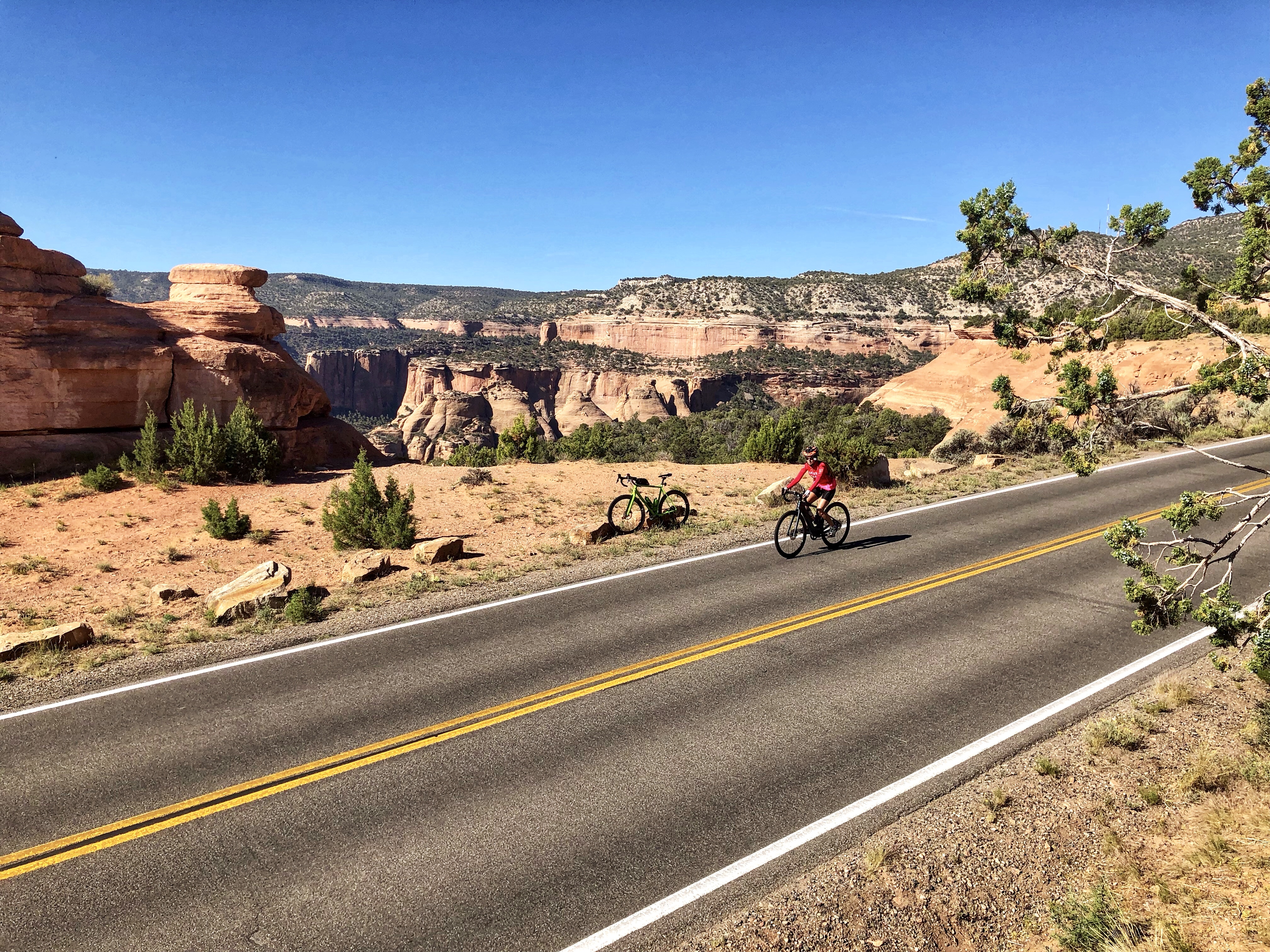 If you are in Grand Junction, the obvious close-in ride is the Colorado National Monument. This is a fantastic ride with gorgeous views and can be ridden from either end, starting in either Grand Junction or Fruita, and is about 23 miles from Entrance Station to Entrance Station. The Park Service requires bicycles to have lights for the tunnels. The ride is sometimes called the Tour of the Moon.
The best way to ride it is both ways so you get all the good climbing 😀. But if you want to do a loop, both directions are excellent, although if you are riding in the morning going east-to-west is better as having the sun behind you makes the spectacular views much more, well, spectacular. You will have to connect the bases of the climbs by riding along Broadway, South Broadway, and South Camp Road (or vice versa). If you pay close attention you will see Tour of the Moon signs directing you along the connector. Riding the connector east-to-west is mainly downhill (and vice versa).
If you are starting at the Grand Junction (east) end, a good place to park is at the large Lunch Loops parking area on Monument Road, about 1.9 miles below the Entrance Station. At the Fruita (west) end, there are parking pullouts a short way below the Entrance Station.
Here is a very good map of the route.
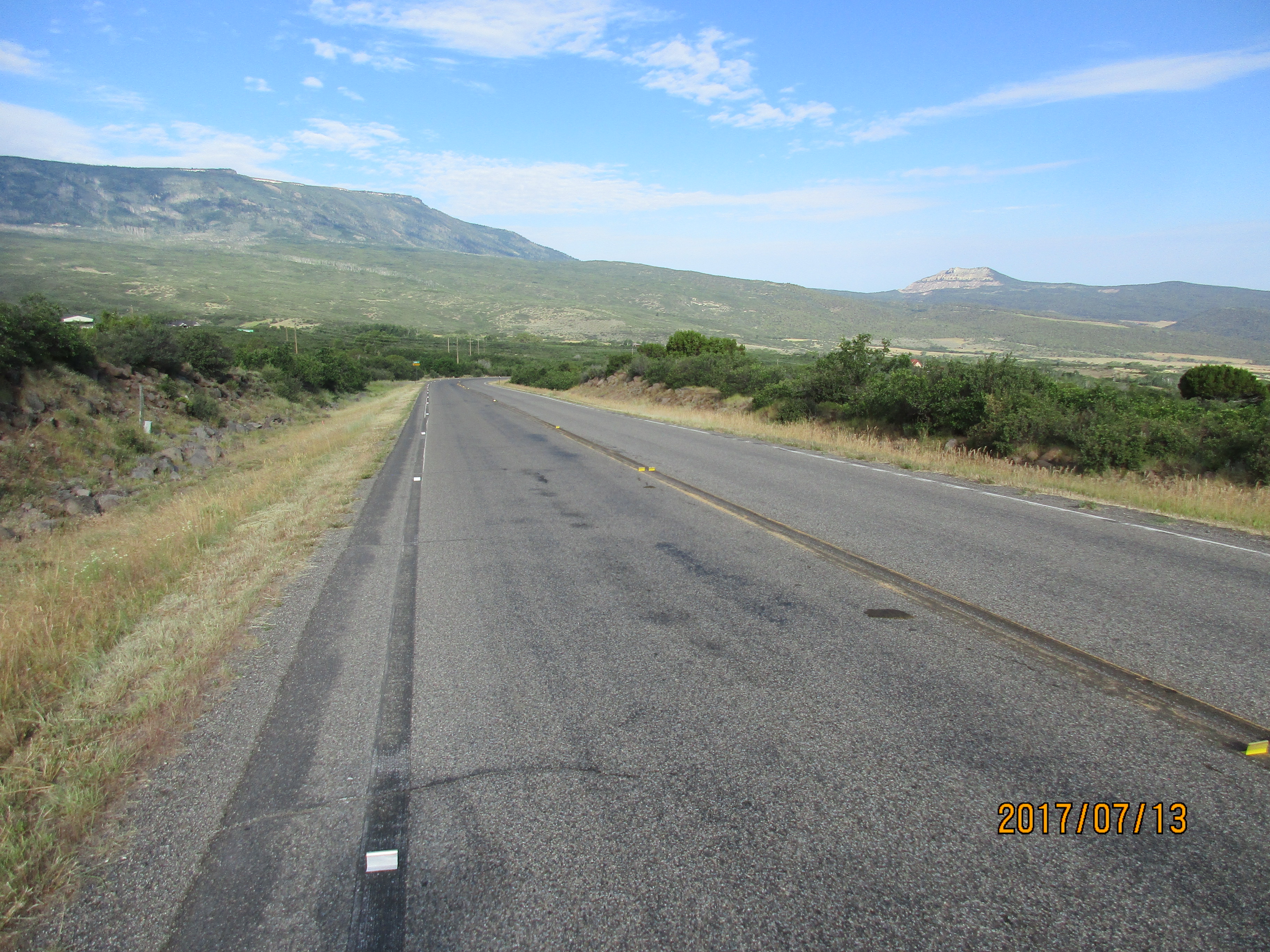
Little Park Road

But if you’ve ridden the National Monument, another wonderful climb in the same general area is Little Park Road. It has some seriously steep climbing on it with lots of 9% and 10%, and a short stretch of 14%. Fortunately the steepness is not continuous and there is plenty of easier riding between the steep sections, even some downhill. The whole climb is about 12.5 miles with 2,600 feet of climbing and 330 feet of descent. You can either descend the same way way and enjoy a great downhill, or make a loop by descending the Colorado National Monument.
We parked at the base of Little Park Road, where it leaves Rosevale Road. Use Google Maps to get there. The climb starts immediately with some 10%, which left us thinking we should have started with a warmup. The first two miles contains several steep sections, including the 14% section. After about 2.5 miles you leave the semi-residential area and the scenery starts becoming very dramatic. The last third of the ride is easier angled and even has some downhill, but there’s a sting in the tail just before the end. A steep section leads to a 0.5 mile downhill to a T-junction. This is the end of Little Park Road. Either turn round and ride back, or turn right and continue to the Colorado National Monument.
Here is a map with information about the riding the Little Park Road – Monument loop, which shows perhaps a better way to start the ride.
Grand Mesa
 Grand Mesa is a strange mountain; from a distance it looks so big and flat on top that it doesn’t seem to be very high.
However, it’s the largest flat top mountain in the world, has about 300 lakes and reservoirs on top, and rises about 6,000 above the surrounding valleys.
There are two main road bike climbs, and one mixed paved/dirt climb. The two road bike climbs both follow Highway 65, one from the north and one from the south. The northern one is perhaps the better climb.
The two road climbs are both big and long and not too steep, and are rather lacking in interest. In my opinion Grand Mesa is much better done as part of a point-to-point ride. As a point-to-point, the ride will typically be from Delta or Hotchkiss over to Grand Junction, or the reverse. Both Ride the Rockies and Bicycle Tour of Colorado have ridden over Grand Mesa. Below I describe just the climbs.
From the North (S-1), you can start at the intersection of Interstate 70 and Hwy 65 but the first 10 miles or so are very low gradient through some pretty sandstone canyon country. The real climb starts at the intersection of Hwy 65 and Hwy 330 to Collbran. From here the climb is 21.4 miles with 5,622 feet of climbing. The steepest part is the first few hundred yards up to the little town of Mesa. After this it eases off until you reach the Powderhorn Mountain Resort after about 9 miles. The gradient now increases a bit and remains fairly consistent until you are up on the mesa. Finish at a loop parking area at the top.
From the South (S-1) the usual start of the climb is in Cedaredge. From here it’s 20.7 miles with 4,652 feet of climbing. The climb starts fairly easily and eventually steepens a bit and is consistent but never very steep. Finish at a loop parking area at the top.
From the West – Lands End Road
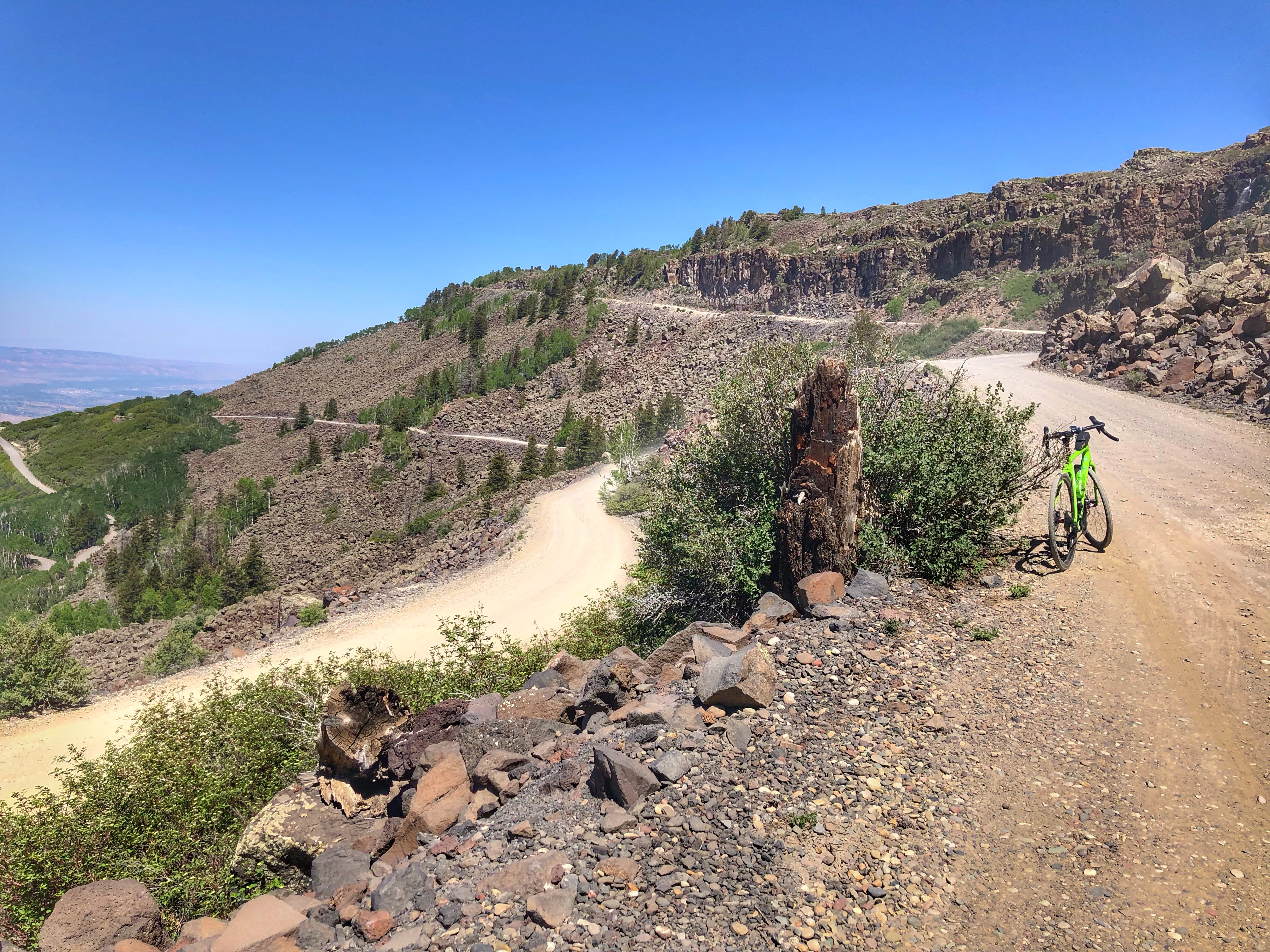
This wonderful gravel ride is now described in the Colorado Gravel page.
