
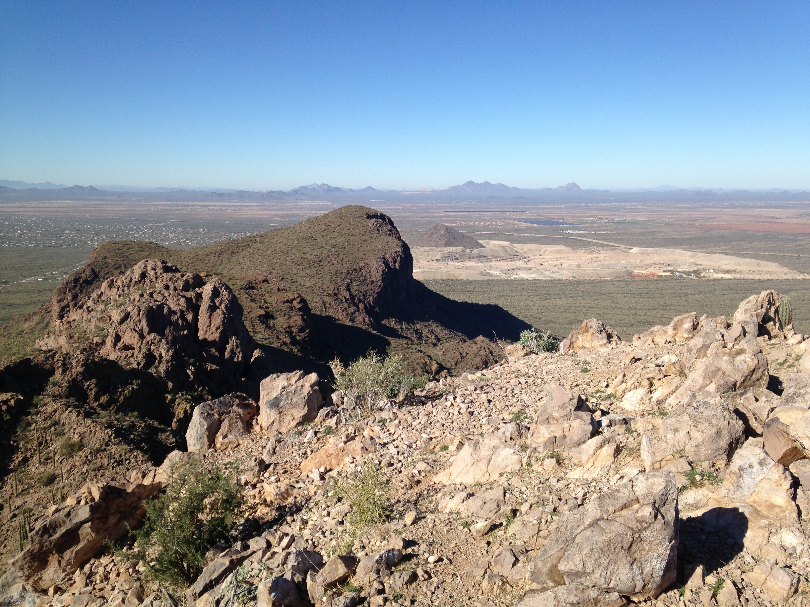
Panther Peak from Safford Peak
It’s been too long since I hiked Safford and Panther to remember all the details, so I’ll just provide some notes here.
From I-10 take Cortaro Rd. west (exit 246). Turn right (north) on Silverbell and go about 2 miles. Turn left at the light on Coachline and go roughly 1/2 mile. Turn right on Pima Farms Rd and go about 1 mile. Turn left on Scenic Drive and follow this for about 0.4 miles to the Sanctuary Cove parking lot on your right.
I parked at Sanctuary Cove and hiked up along the cove trails until it seemed more sensible to go straight up towards the mountain. I climbed the east face which involved some third class scrambling. This is not the easiest route up the mountain but is more fun. The easier route curls round the peak from the left and you can see the route in some of the pages below.
To get to Panther Peak, I followed the rocky crest westwards, dropping down to the left in the places that were too difficult to scramble over.
After climbing Panther Peak, I dropped back into the saddle between the two peaks and headed down to the north, then contoured back eastwards to Sanctuary Cove. Back at the cove I came across a lovely little labyrinth that I walked around.
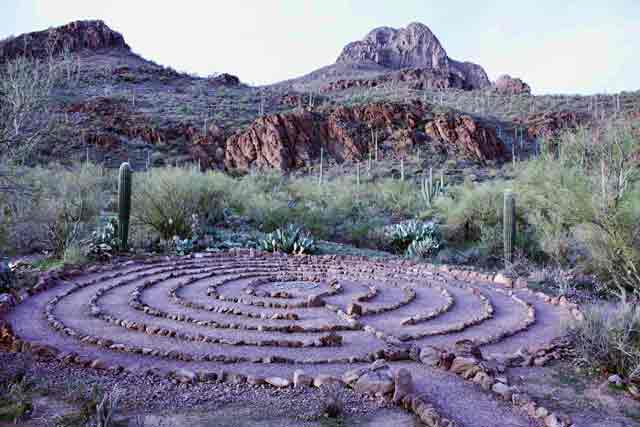
The labyrinth, with Safford Peak in the background
Links and Other Clicks
The Earthline page about Safford and Panther.
The Hiking Project page about Safford.
A page about Safford with beautiful photos.
