
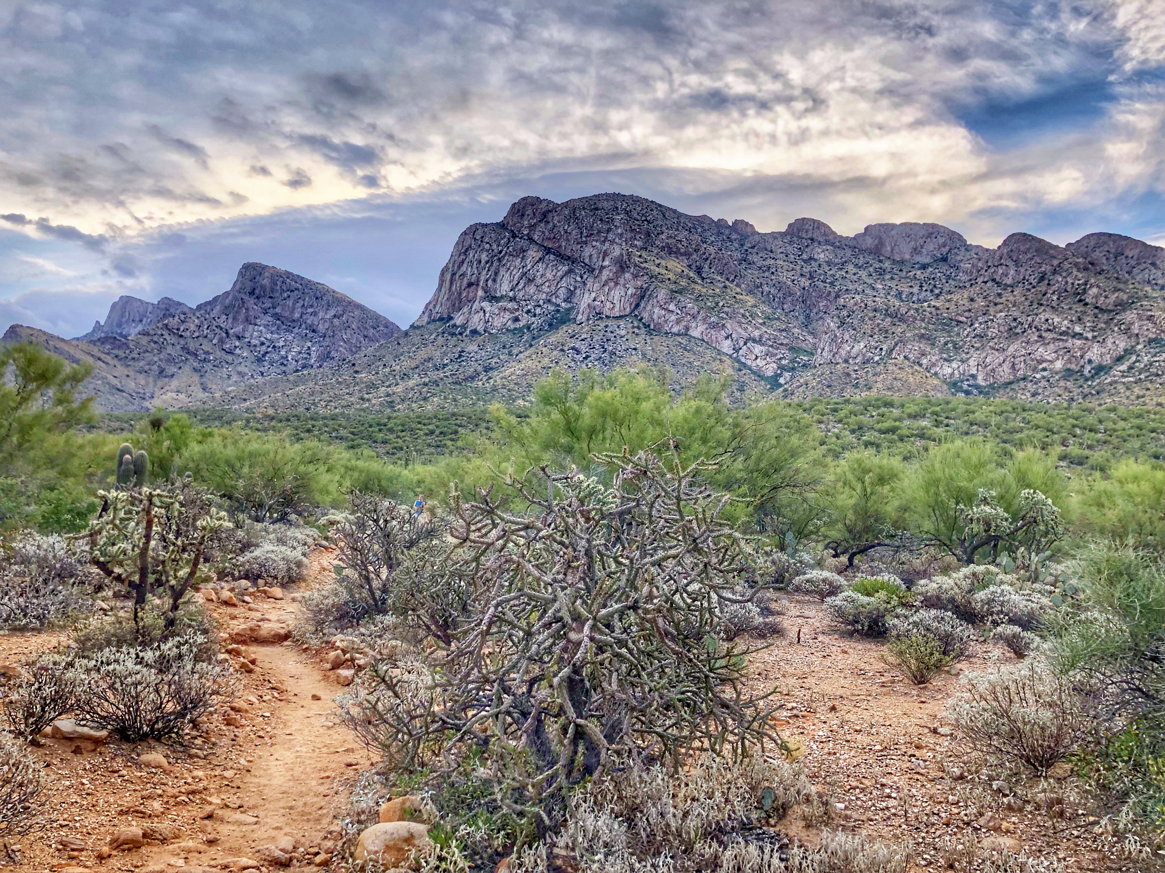
Pusch Peak is a strange mountain. The round-trip hike is fairly short: 3.7 – 4.1 miles depending on who you believe. It’s the very western peak on the Santa Catalinas front range, and if you drive from the east you see the long, long ridge leading up to the top and wonder how the hike can be that short.
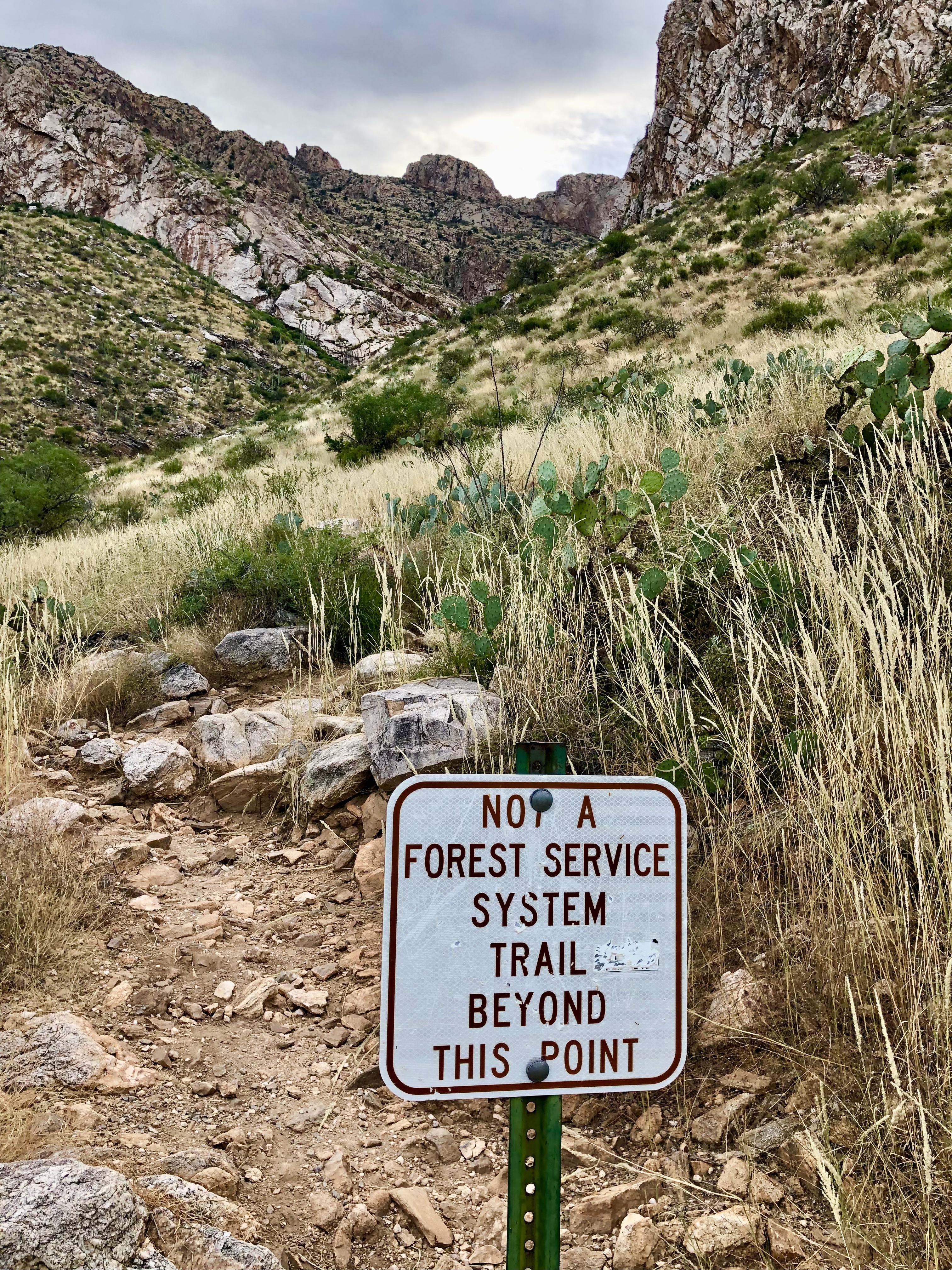
The answer is that the hike starts up the west side of the peak and goes steeply and fairly directly up to the summit. Another strange thing about the mountain is that although it’s a fairly short hike, there’s only an “unofficial” trail to the top.
There’s also not much parking at the trailhead so it’s worth getting there very early. Drive north on Oracle Road (Hwy 77) for about 3 miles to Linda Vista Blvd. Turn right and in a few hundred feet the trailhead is on the right. There is parking on both sides of the road, but not much of it.
The trail is pretty obvious for the most part – head up the mountain, then eventually leave the big gully and head up and left. However, there are a couple of places where trails split off and it’s worth using the All Trails app (or something similar). The trail is steep, strenuous, rocky in places, and has enough cactus to make sure you pay attention.
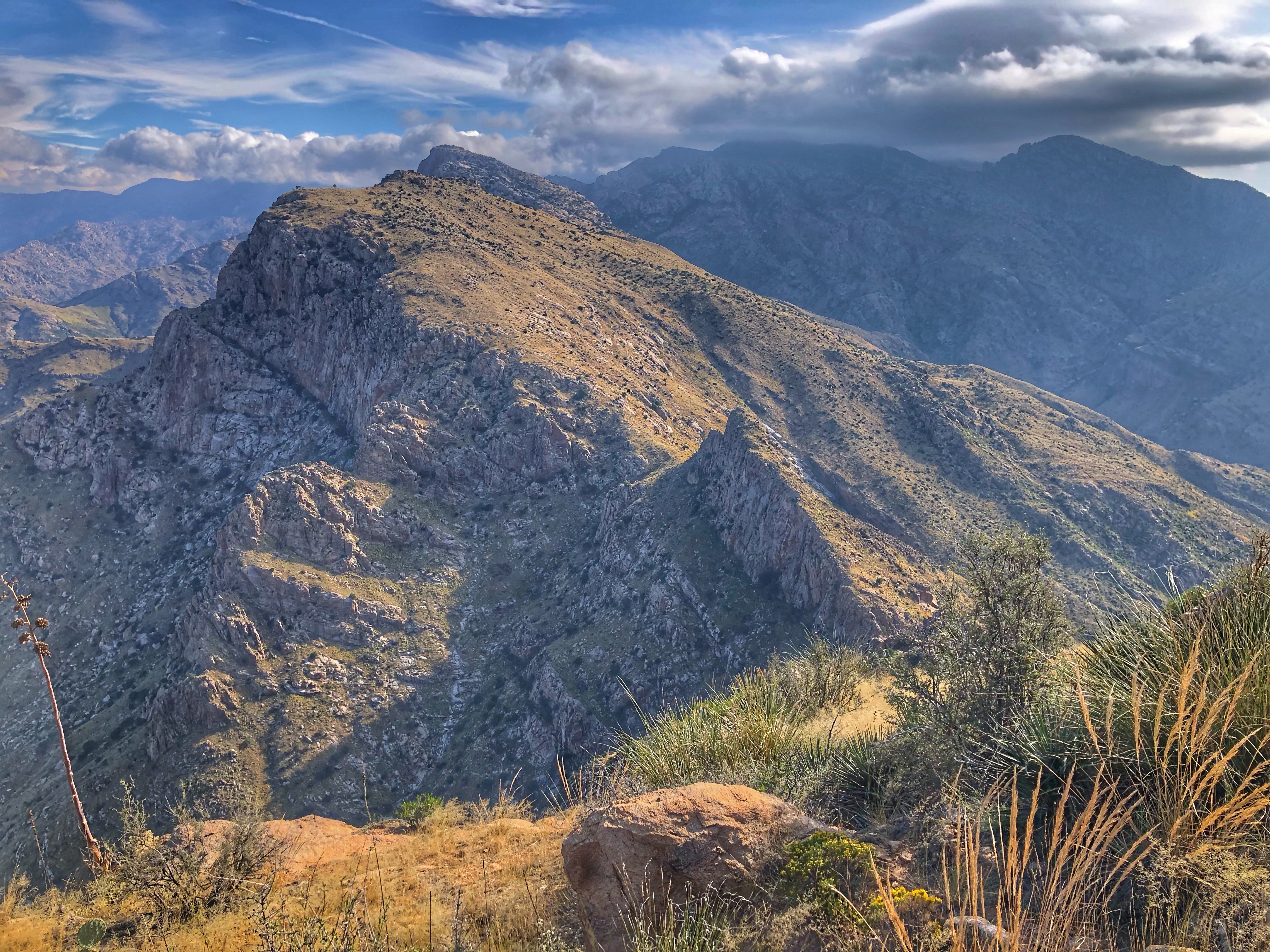
Once you get to the top there are beautiful views looking northeast to Bighorn Mountain and Table Mountain on the same ridgeline.
Links and Other Clicks
AllTrails Pusch Peak page.
Lots of photos of the hike at Earthline.
Lots of photos of the hike at Stav is Lost.
