
Looking up the beautiful ridge to the summit
Aqua Caliente Hill lies between the Rincon mountains and the Santa Catalina mountains. It’s a lovely 9 mile round-trip hike, except for maybe the last section up the final slope to the summit which is steep and rocky. Many people hike just the first 3 miles to the saddle and then return.
Directions
Drive east along Tanque Verde, past the turnoff to the Catalina Highway and Mount Lemmon. Continue for 1.9 miles past Houghton Road, then turn left on Soldier Trail. Continue north for 1 mile to Fort Lowell Road. Turn right on Fort Lowell and drive east for 1.3 miles (Fort Lowell eventually becomes Camino Ancho), then turn left on Camino Remuda. Follow Camino Remuda for 0.5 miles to the Agua Caliente trailhead on the right.
Hiking
Follow the obvious trail for 3 miles as it zig-zags up the hill, then rolls up and down and finally climbs steeply to the saddle and a metal signpost.
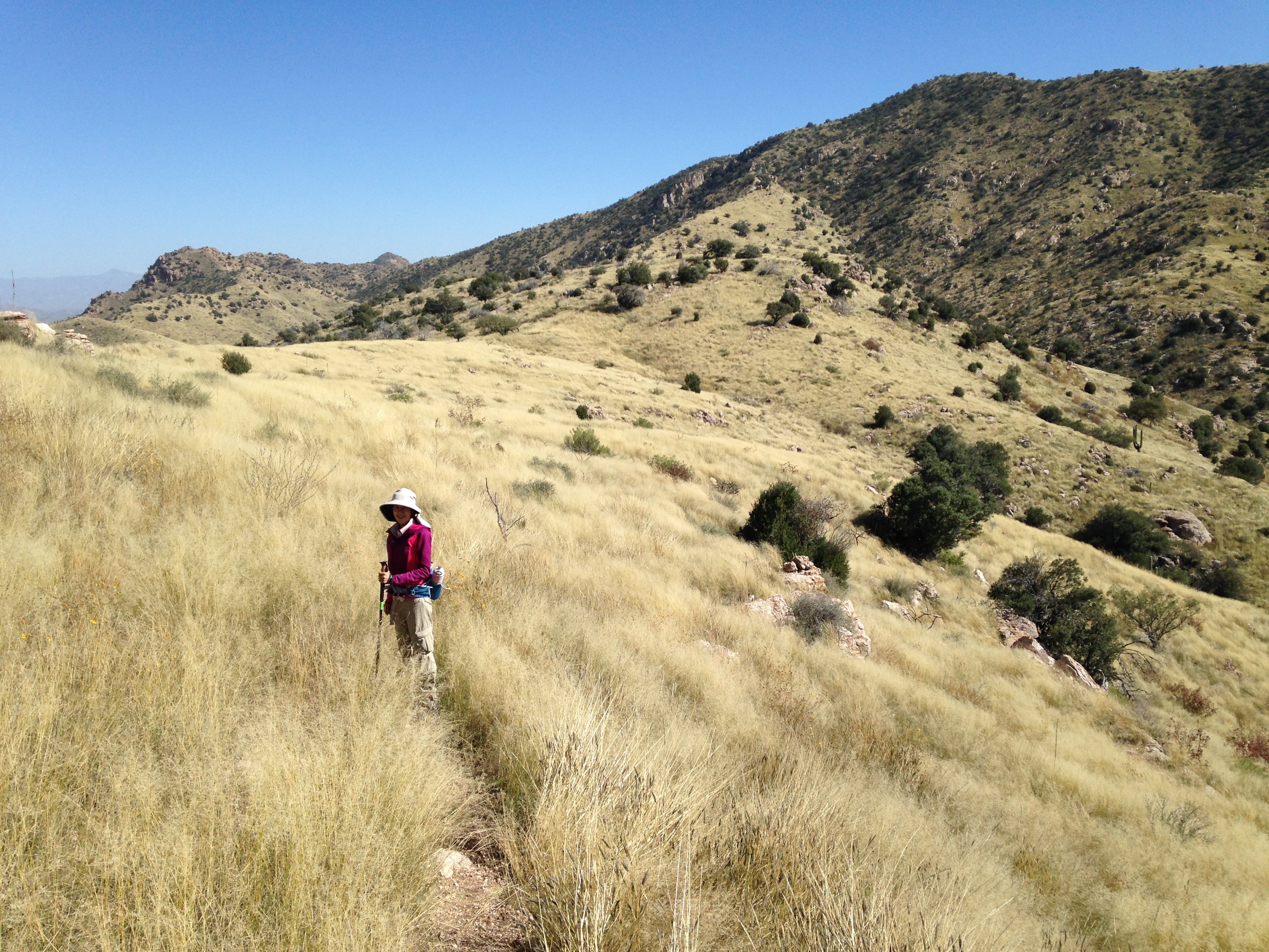
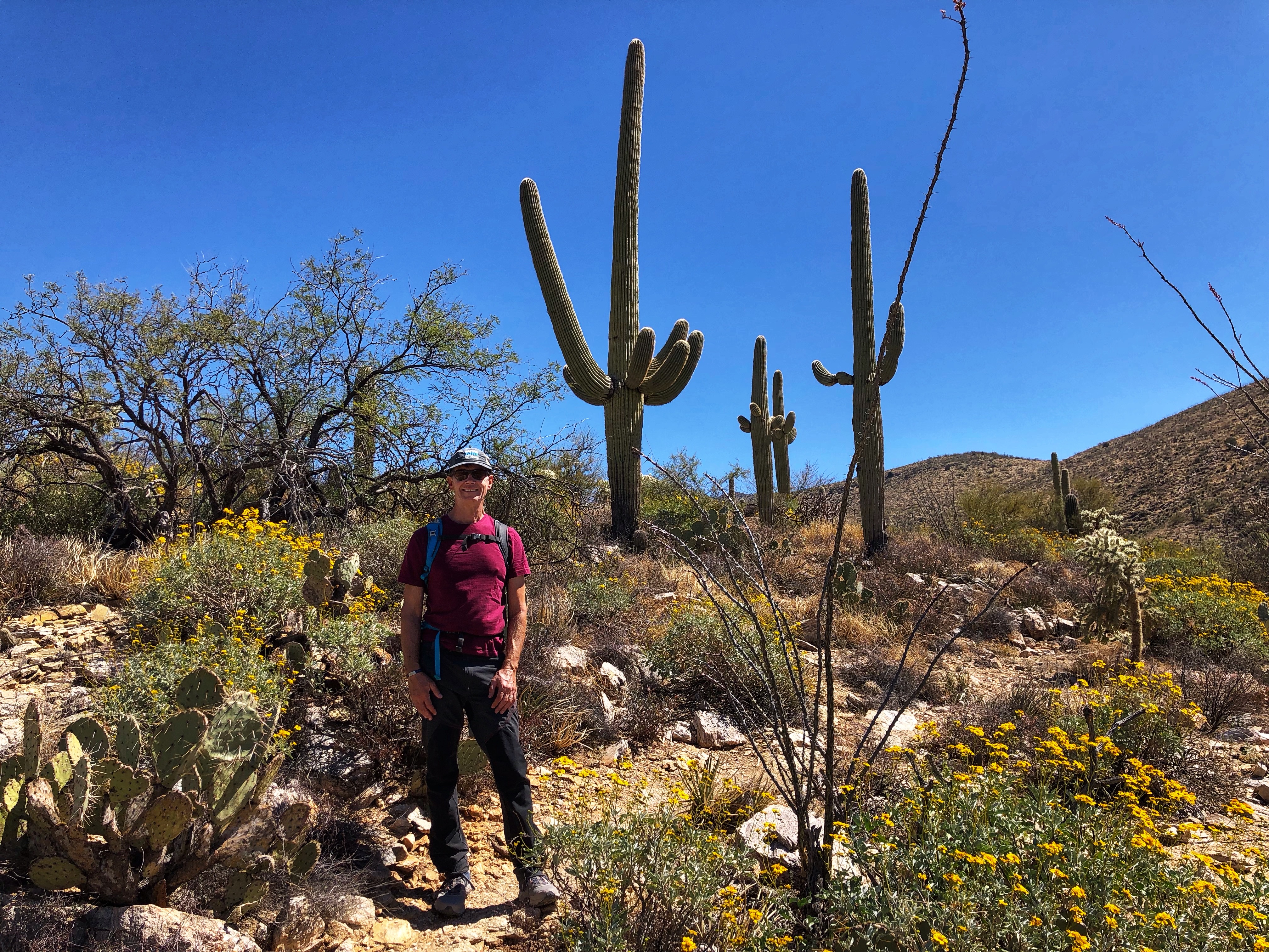
Turn right and follow the ridge for 1.5 miles to the top. After an initial climb the ridge flattens and you walk through a beautiful grassy meadow. The ridge steepens again and eventually runs out, and you climb the final tree-covered flank of the mountain. The trail here is the roughest and least pleasant part of the hike, but the top of the mountain is lovely, with great views.
Alternative Start
 This alternative start follows the lovely Agua Caliente Canyon trail then heads up to the ridge of the standard Agua Caliente Hill hike. It adds just under a mile to the hike, making the round trip about 9.8 miles. You can make the hike even better, and slightly longer at 10.7 miles, by returning via the beautiful La Milagrosa trail (thus incorporating the classic Agua Caliente – La Milagrosa loop into your hike).
From the intersection of Catalina Highway and Tanque Verde, drive up the Catalina Highway to the second 4-way stop at Snyder Road. Turn right and drive for 1 mile to the 4-way stop at Soldier Trail. From the Soldier Trail intersection, drive 0.4 miles further east along Snyder then turn left on N. Avenida de Suzenu. Follow this for 0.3 miles until it deadends at Horsehead Road. Park on the right just before Horsehead Road.
Hiking
Turn right on Horsehead Road and bypass the gate on its left side. Walk along Horsehead Road east for about 0.6 miles until it sort-of deadends at N. Wentworth Road. Just past Wentworth Road there’s a gate and on the other side a jeep road leads up the hill. Follow the jeep road up the hill and down the other side to the canyon bottom. Continue along the trail on the other side of the canyon bottom as it bears slightly left. The initial climb out of the canyon climbs steeply over loose rocks. Shortly after you finish the main climb you cross a lovely little ridge between the big Agua Caliente canyon on your left and a much smaller canyon on your right.
Eventually the trail stops going uphill and you find yourself at a very obvious intersection with a big cairn. Turn right here and head up to the ridge and the main Agua Caliente route, then turn left and continue about 1.5 miles to the summit.
After you return from the summit and drop down from the ridge to again reach this obvious intersection with the big cairn. At this point you can either turn left and return the way you came, or you can extend the hike to descend via the beautiful La Milagrosa trail (so by the end you will have also done the classic Agua Caliente – La Milagrosa loop).
If you choose to do this, continue straight on the trail then bear right as it descends into Agua Caliente canyon. At the bottom, continue up the canyon for a few hundred yards until the obvious trail heads left up the hill. Once this climb is over the trail becomes horizontal until it reaches the main La Milagrosa trail. Follow this enjoyably down back to the jeep road that exits the canyon back to Horsehead Road.
Here’s the route on Ride with GPS, from where you can download a GPX file.
Links and Other Clicks
A page about this hike on Earthline, with gorgeous photos.
A page about the classic Agua Caliente – La Milagrosa loop. He describes the loop clockwise, but I think it’s better counter-clockwise.
