
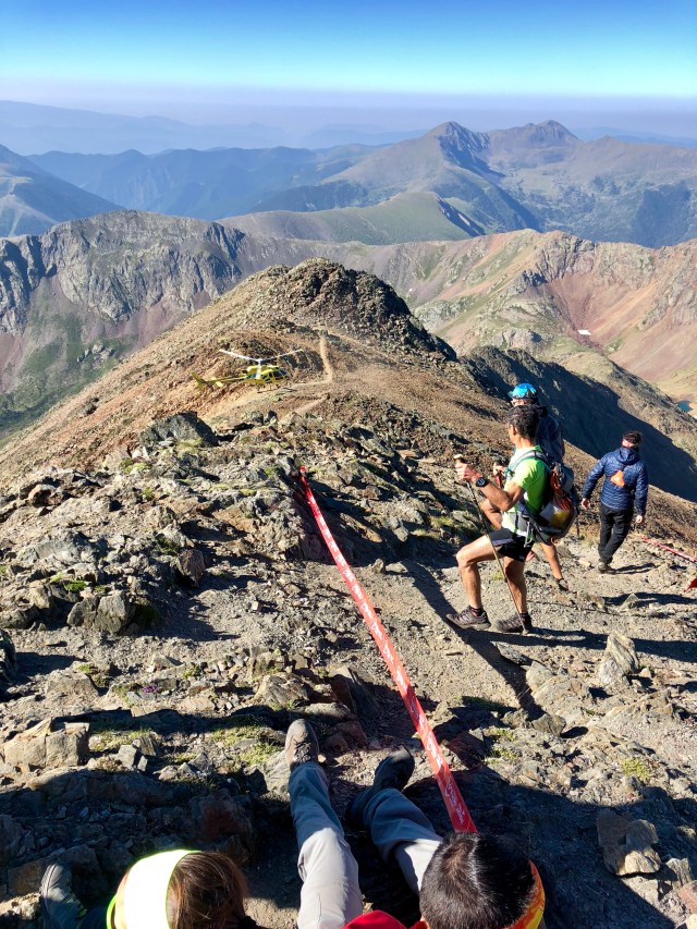
View from the top of Coma Pedrosa on a race day
July 2018
Andorra is an incredibly hilly country and you rarely find anything flat, so there are lots of good hikes. I prefer hikes above tree line, where the views are better, so for me the northwest part of Andorra is the best. It’s the highest part of the country, with the highest peaks.
I climbed the highest peak, Coma Pedrosa, and Pic de l’Estanyó, each of which took me 5.5 hours round trip. The views from the tops are spectacular. The other mountain I would like to have hiked is Pic de la Serrera, which looked amazing from Pic de l’Estanyó (to do a loop of Estanyó and Serrera would be even better.)
Links and Other Clicks
The main Visit Andorra page. The site can be a bit awkward to navigate but you can eventually find information about many of the hikes. There is a page that allows to to filter for hikes but it doesn’t work as well as one would like.
Here’s the page from which you can download the ActiveTourism app which gives information on many of the hiking routes in Andorra, with a basic map and GPS positioning on the map.
The Visit Andorra page about hiking Coma Pedrosa. You can download the gpx file there.
The Visit Andorra page about hiking Pic de l’Estanyó. You can download the gpx file there.
The Visit Andorra page about hiking Pic de la Serrera. You can download the gpx file there.
