
Late May / Early June, 2026
KmM = Kilometer Marker
Albi is a very pretty city of about 53,000 to the North-east of Toulouse.
Albi prides itself on the cycling around it, although there is no particular ride that you can point to and name. Instead there are lots of villages and lots of roads, and so you can make many different loops.
Northern Loop 1
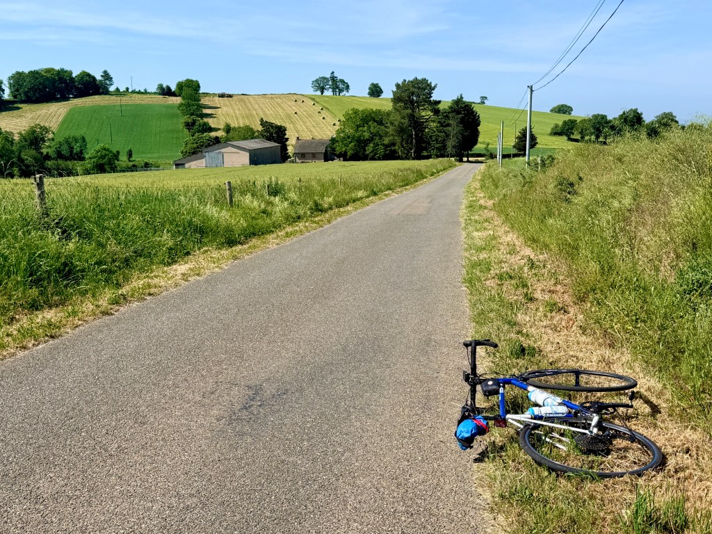
This loop starts by heading west, which is much preferable to riding east into the sun. You ride for almost 4 km to the boundary of Albi at which point things become quieter and more peaceful. The first 18 km are pretty flat and then the first real climb starts. But the climbing is not hard, and after a while you are up higher on rolling farmland.
The further you get into this ride, the more interesting and difficult it becomes. Most of the ride is on small, quiet roads, with just a few sections on bigger roads.
Here’s the climb on Ride with GPS.
Gorges de la Nesque
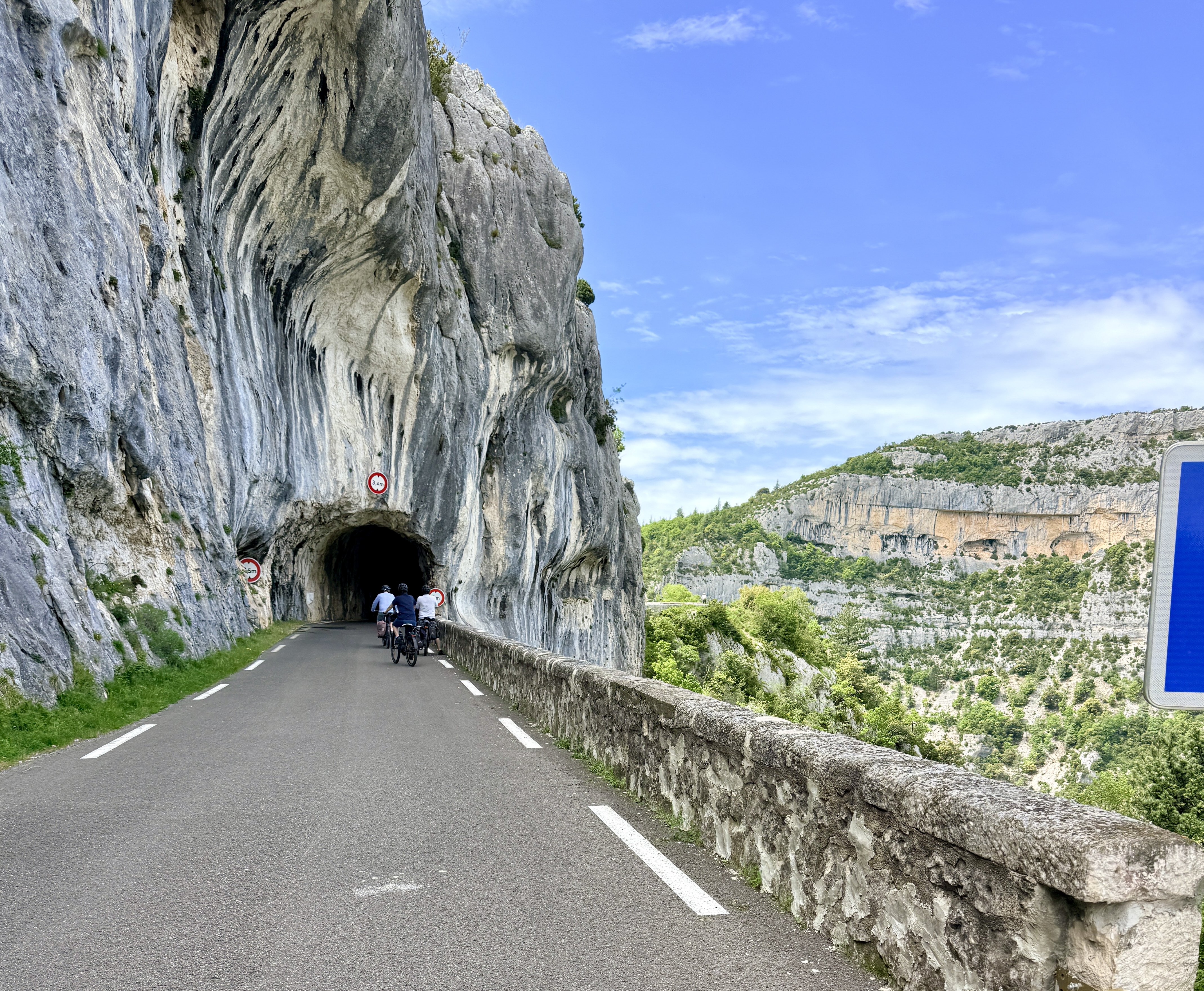
If you are in the area, another ride you might consider is the Gorges de la Nesque. It’s an incredible road, never very steep, about 23 km long between Villes-sur-Auzon and Monieux. The road, the D942, is perched on the edge of the gorge with several narrow tunnels to go through. Riding uphill (west to east) you can the frighten yourself looking into the gorge and trying to avoid the edge. The higher you climb, the more dramatic the views and the more tunnels you go through. Fortunately there are very few cars on the road. The climb and the gorge end a short way above Monieux, and you then descend into Monieux.
Some people continue past Monieux to Sault, and a few intrepid people also ride up Mont Ventoux as part of a big loop. Many people descend the same way they went up.
Here’s a page about riding Mont Ventoux and the Gorges de la Nesque in a 90 km day. Here’s a page about the Gorges de La Nesque road as being one of the world’s most spectacular roads.
The ride described here turns right in Monieux and follows the D5 down the other side of the gorge. The D5 starts with a 5 km climb then there’s a lovely easy descent through pretty countryside to the village of Méthamis. You don’t see the gorge until the later part of this descent. This loop is about 53 km with 2,345 feet of climbing.
The ride starts in Villes-sur-Auzon. Some people ride to Villes-sur-Auzon from Bédoin, but we were staying in L’Isle-sur-la-Sorgue, so I drove to Villes-sur-Auzon and parked at the Municipal Sports Complex at 44.05490942722607, 5.237153098097084. Another possible parking area seems to be at the beginning of the town, at 44.057050301580745, 5.227486755985906.
After the delicious climb through the gorge, turn right in Monieux and follow the D5 down the other side of the gorge to the village of Méthamis. As I was heading down the D5 I saw lots of people riding up, including one group of about 20 riders. It’s obviously a very popular climb, especially since there is almost no traffic on the road.
In the later part of the descent you see lots of wild boxwood bushes by the side of the road, all of them trimmed into rectangular blocks by the Vaucluse Department. It was started as a safety feature to maintain good sight lines around the curves and has since become officially recognized as a valuable part of the aesthetic and cultural heritage of the area. (You also see these bushes on some of the climb up Mont Ventoux from Bédoin.)
Just after Méthamis turn right on the D14, which takes you back to Villes-sur-Auzon in about 6 km.
Here’s the ride on Ride with GPS.
Highlights of the North Luberon
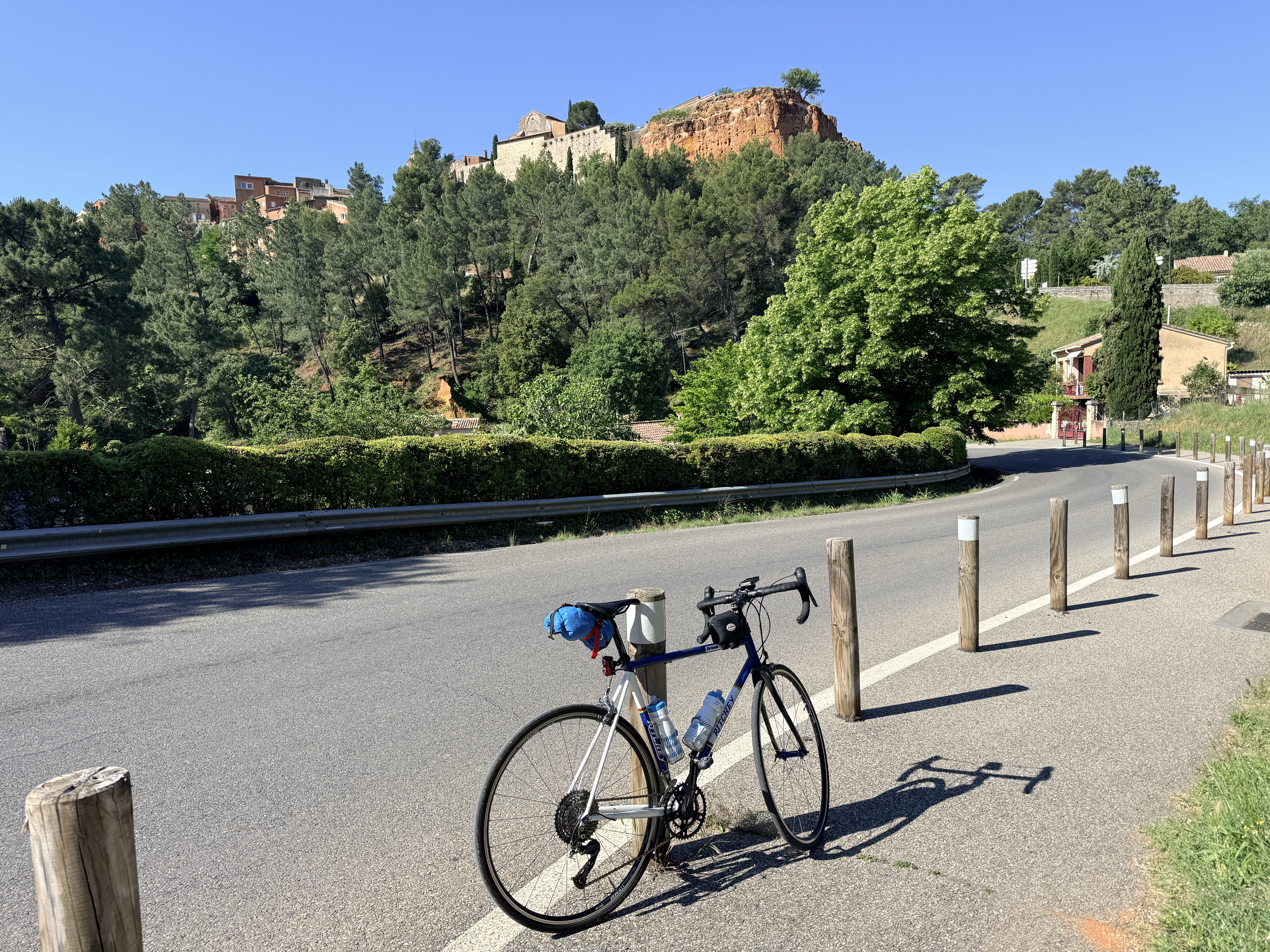
This is a delicious rolling ride through some beautiful country to the west of Apt. In fact, the section around Apt was the least enjoyable: busy between Gargas and Apt, and on a rather boring bike path immediately after Apt. But the rest of the ride was delightful, mainly on quiet roads with very little traffic. The loop is about 43 miles with 3,800 feet of climbing.
I found the route on Ride with GPS but started in a different place. The original started in Bonnieux, but coming from L’Isle-sur-la-Sorgue I started at the closest spot to that, in Lumières. There’s a big dirt parking lot at 43.85936894969646, 5.230674525725478.
From Lumières, the ride goes through Saint-Pantaleon, Gordes, Joucas, Roussilon, Gargas, Apt, Bonnieux, and Lacoste. Actually the ride misses center of most of these towns and villages, instead taking the road around the town centers. I went wrong a few times, one time because a road was no longer accessible—interestingly the Karoo recomputed a route for this part.
There’s lots of climbing on the ride, but only one really steep hill—going up a small road to Bonnieux, where my Karoo maxed out at 16.5%, which maybe means it was really around 15%.
Here’s my ride on Ride with GPS. Here’s the route I followed on Ride with GPS.
Tour of the East Luberon
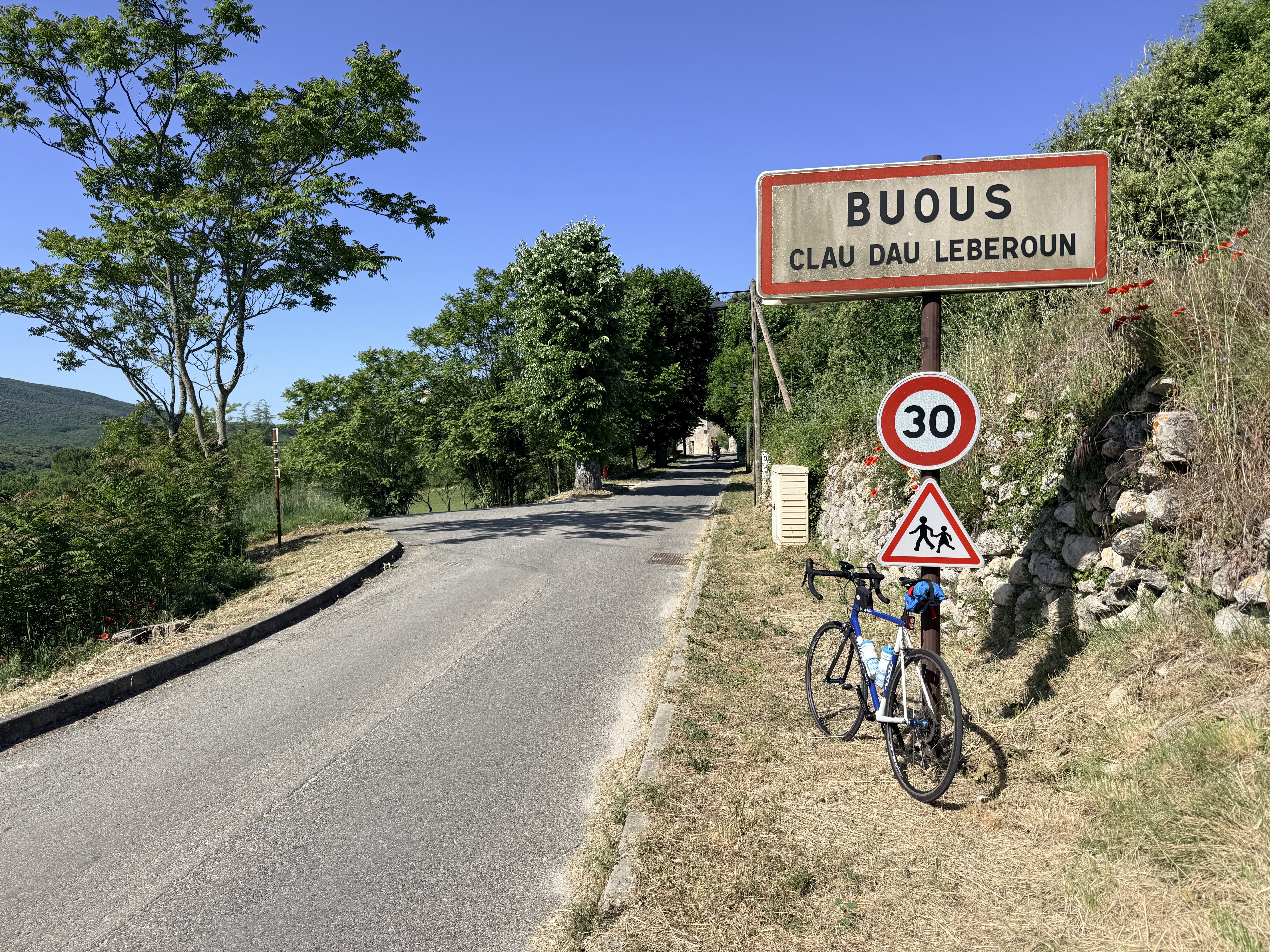
Another great ride which takes in some of the towns of the Highlights of the North Luberon, and adds some lovely riding from Apt to Buoux to Bonnieux. The towns and villages on the loop are Gordes, Roussilon, Gargas, Apt, Buoux, Bonnieux, Lacoste, Goult, Gordes. The loop is about 42 miles with 3,790 feet of climbing.
For this ride I relied on Google Maps and road signs, so the ride between Gordes and Apt was on less interesting roads, but fortunately there weren’t many cars on any of the roads. After Apt the roads became much nore interesting and fun.
I parked just below Gordes, at 43.901267630904485, 5.193083386171741. From here you ride up into Gordes, then to Roussilon, then Gargas, then Apt. You’ll be riding a short way along the main road into Apt, which can be quite busy, depending on the time of day.
After Apt there’s a lovely long climb then a pretty descent into Buoux. Buoux is famous among rock climbers for its spectacular cliffs, which are home to many staggeringly difficult rock climbs. These cliffs are no longer the premier destination for tough rock climbs, but: “Through the 1980s and early 1990s, Buoux was considered the best crag in the world”. Sadly you won’t see the big cliffs from the road you are on.
Continue up to Bonnieux then Lacoste (where I did an extra little loop, just for fun), then down to Lumières, up to Goult, then wind your way along some small, pretty roads to just below Gordes. I went up a very steep climb to the center of Gordes, but if you want an easier finish, you can just continue west on the D2, avoiding the final climb and saving a couple of kilometers.
Here’s the ride on Ride with GPS.
 Cycle Uphill