
This page gives very brief descriptions of cycling climbs I did, or Tanya and I did on the tandem, in July and August, 2014. We took a road trip to Utah, then Wyoming, back to Utah, finishing in California. All the climbs are from the second edition of John Summerson’s book, The Complete Guide to Climbing (by Bike), and if the climb is in Summerson’s top 100 climbs, I’ve shown Summerson’s rating. For example, #14 means Summerson rates the climb as the 14th hardest in the U.S.
Besides the difficulty ranking, I also show the difficulty number, and the number of feet climbed for each ride. For example, Alternate 14 gets (#27, 3.34, 5,314′).
I won’t repeat information Summerson gives in his book, but instead I’m just giving my impressions of the climbs.
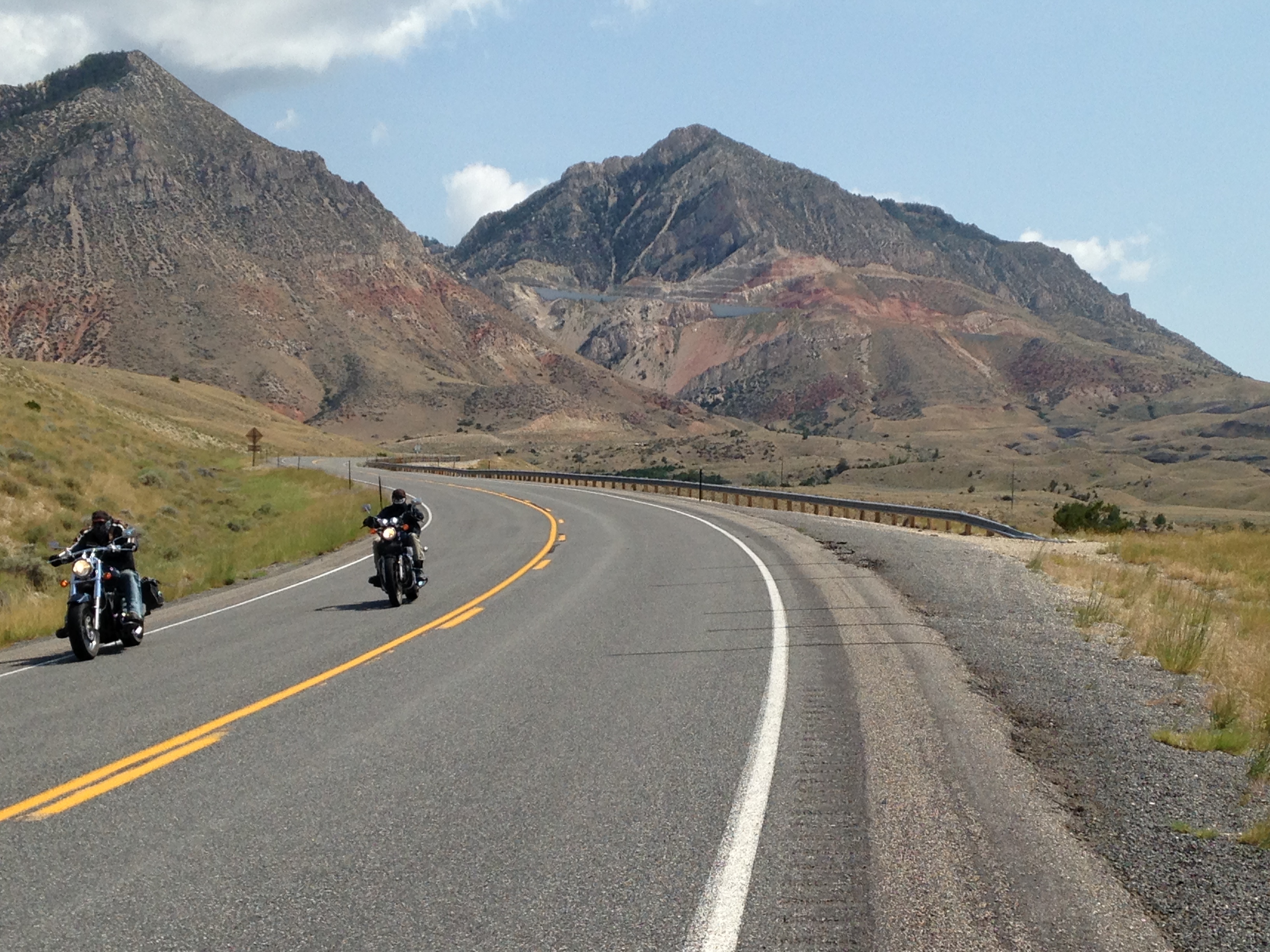 Alternate 14 (#27, 3.34, 5,314′). I loved this climb. It’s very dramatic, with big switchbacks in a great position. The ride starts with a long and very gradual climb, and I wondered where the “real” climb went. The big hills are on the left, and eventually you see what looks like a quarry high up on the side of the mountain. Then you realize this is where the road goes and you then know this is going to be a great climb. Well worth doing. Summerson calls it the most difficult climb in Wyoming. From Lovell, WY head east on Alternate 14. Cross the Big Horn River and continue for 2.3 miles and park at the Yellowtail Wildlife Habitat Management Area.

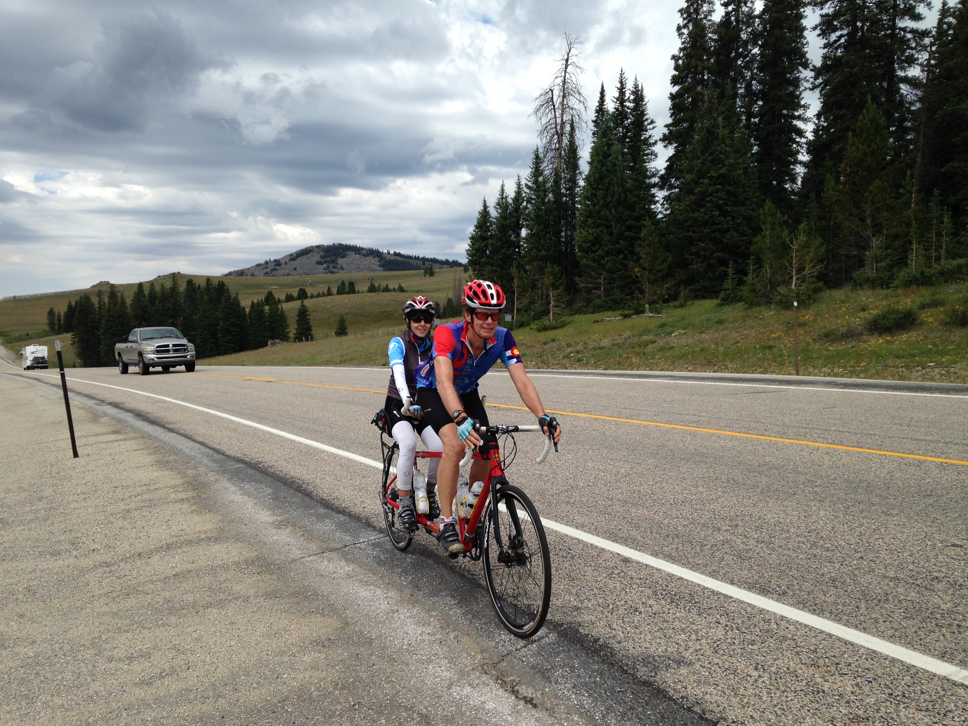
14 East (2.19, 3,934′). A so-so ride. We rode it on the tandem, and it was threatening to rain all the way up. Then it started raining and the descent varied between rain and no rain as the switchbacks took us back into the mountain then away from it. Weird. It’s very pretty up high so maybe my opinion of the ride is colored by the weather.
From the western end of Dayton, ride west on Hwy 14.
 Granite Pass (#74, 2.50, 4,354′). A beautiful ride. We drove down Granite Pass on our way south and it was so lovely that I had to ride it. When we got to the bottom I changed, got the bike off the car, and rode back up. Lovely switchbacks in the first section and some beautiful waterfalls. Eventually the road leaves the canyon walls and heads into high alpine meadows, and for me the climb became less interesting here. From Shell, WY, head east on Hwy 14 for about 6 miles to where the road increases in grade, and start riding here.
Powder River Pass (2.14, 4,942′). A long climb up Ten Sleep Creek Canyon. Not very steep and I think that Summerson overrates this climb. The canyon is very pretty but it’s a long way to go for a climb that’s not particularly special.
From Ten Sleep, head east for just over three miles to just past the junction with Hwy 436 on the right, and start riding here.
