
Many of the rides are climbs described in John Summerson’s book, The Complete Guide to Climbing (by Bike). When describing one of these climbs, I use Summerson’s distance and elevation gained. I also include (S-#) in the name to indicate that the ride is described in his book. The # shows the climb’s category given by Summerson (1, 2, HC=hors categorie). When I describe a climb, the distance is usually one-way, to the top.
Up in the heart of the Rockies, Summit County has lots of spectacular rides with glorious views of the high mountains. As you ride you’ll see plenty of peaks over 12,000′, and several of Colorado’s 14’ers. Here’s a web page about cycling in Summit County. And a pdf of the wonderful bike paths. Of course, some of the rides I describe in the section aren’t actually in Summit County but I rode them while staying in Summit County.
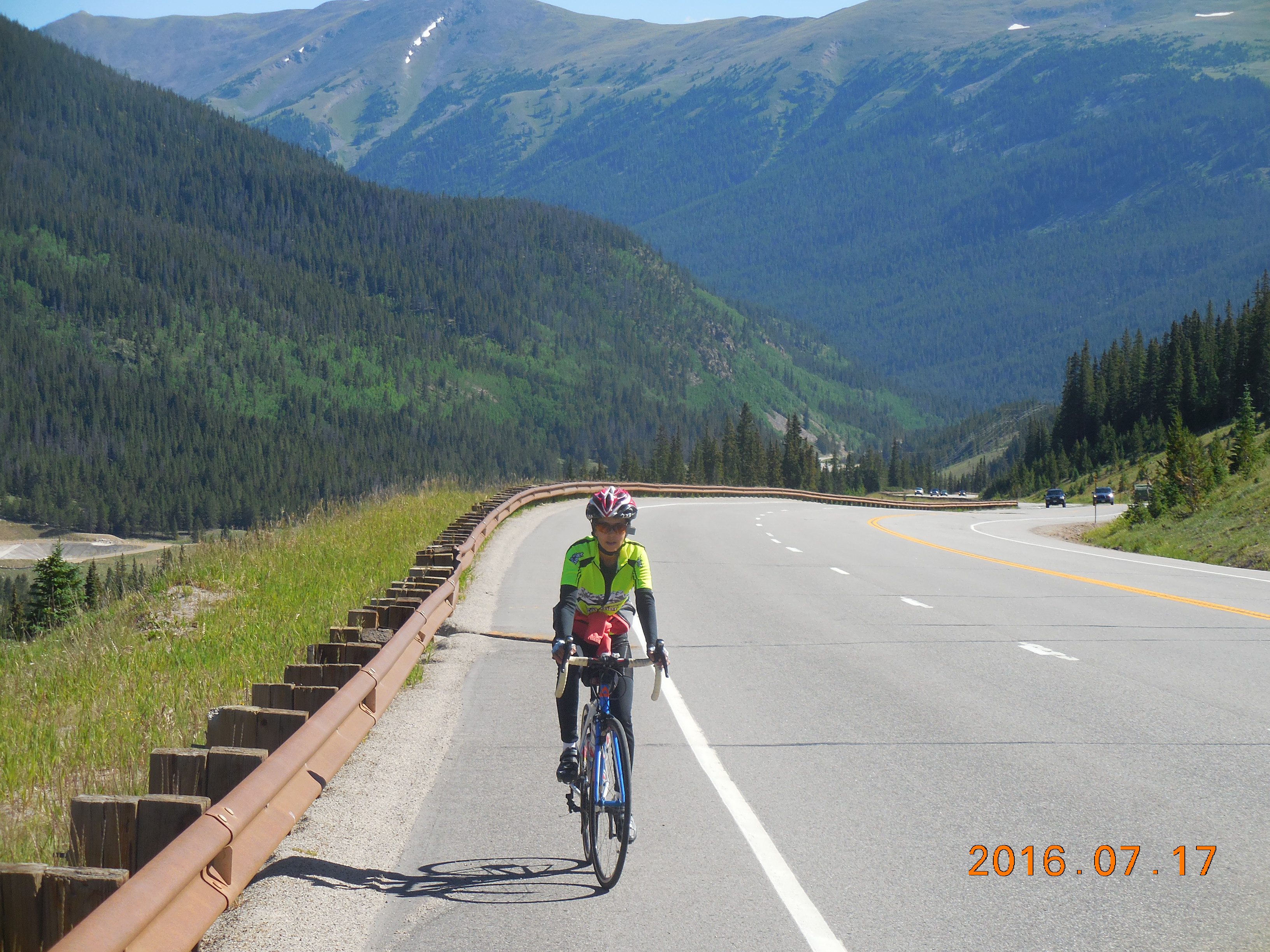
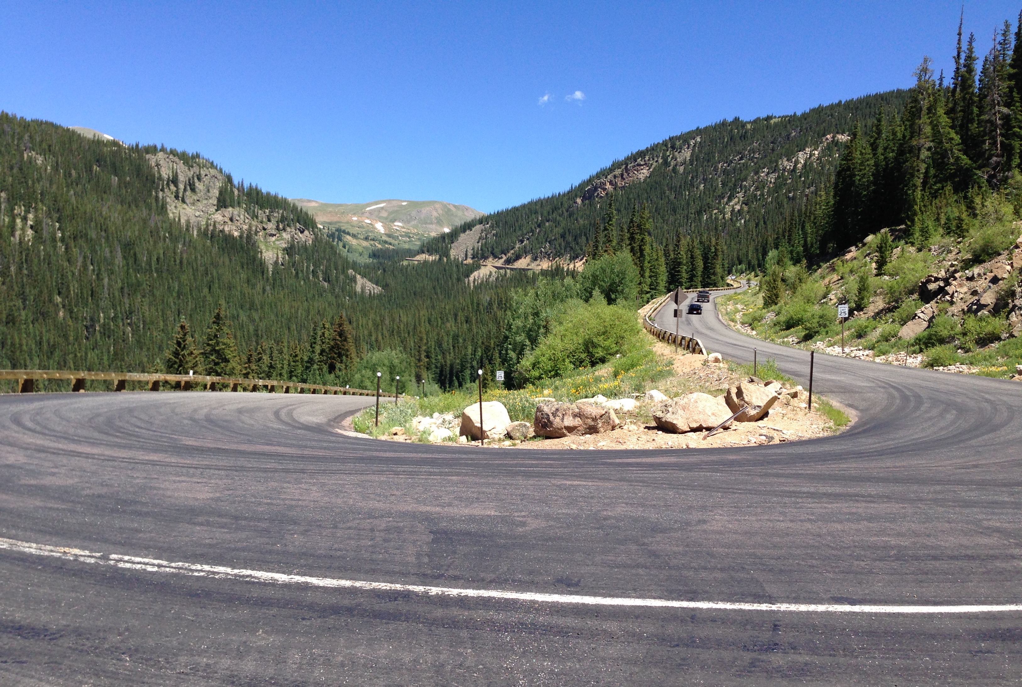
Loveland Pass (both sides – North: S-2, South: S-1)
 Loveland Pass is a lovely climb on both sides, with spectacular views in the upper sections. The traffic is reasonably light as most vehicles go through the Eisenhower Tunnel, with only hikers, people wanting to look at the views, and trucks carrying hazardous materials going over the pass.
As an over-and-back from the Keystone ski area it’s 24.6 miles with 3,800 feet of climbing. The pass is at 11,990 feet and you’ll probably feel the altitude. It goes through a cutting in the rock and I’ve always wondered why they didn’t just make the pass be at the lovely round number of 12,000 feet.
 Either drive to the Keystone ski area and park in the huge parking lot, or ride there. From Keystone head uphill on Hwy 6 for almost 5 miles and about 1,510 feet of climbing to the A-Basin ski area. The next 3.6 miles and 1,130 feet of climbing to the pass are spectacular, with four big switchbacks and amazing views. You reach the pass after 8.5 miles and 2,640 feet of climbing.
Head down the north side to the Loveland ski area then turn round and ride back up to the pass again, which you reach after 3.8 miles and 1,160 feet of climbing. The last long switchback is magical as you look up and across to the pass, and also down at the road you have just ridden up. From the top it’s a lovely descent back down to Keystone.
Ute Pass
 A lovely hidden gem of a climb, with gorgeous views of the rugged Gore Range to your west as you climb. The whole ride from Silverthorne and back is 35 miles and 2,000 feet of climbing. The climb itself is about 5 miles and 1,400 feet of climbing.
Starting at the Silverthorne Recreation Center on Rainbow Drive, head north then turn left on Center Circle, then left again (on 6th Street) to reach Blue River Parkway (Hwy 9). Turn right and head north towards Kremmling.
After 12.1 miles and about 600 feet of gradual descent, with some spectacular views of the dramatic Gore Range on the left, turn right for Ute Pass, just after MM 114.
After about 5 miles and 1,400 feet of climbing, just after MM 5 (marker on the left), you reach the top, with big parking areas on both sides of the road. The last half mile before the top is almost flat. (You can continue down the other side for just under 4 miles to where the road turns to dirt. Unless you want to ride for another 18 miles to the small town of Parshall, turn round and climb about 850 feet back up to the pass.)
Admire the views, then head back to Hwy 9, then do the very gradual climb back to Silverthorne. Just after Target on the right, turn left at the traffic light onto 6th Street (signs point to Police and the Recreation Center). Turn right on Center Circle and right again to reach the Recreation Center.
Hoosier Pass (North: S-2, South: S-2)
The beautiful east ridge of Quandary Peak
This ride heads south out of Breckenridge, climbing about 2,030 feet in 9.9 miles. In some ways it is a disappointing ride, as it climbs very gently for almost 7 miles on a road with a lot of traffic and a shoulder that alternates between crap, non-existent, and good. But after 6.8 miles the ride blossoms and the views start to become spectacular.
I’m describing the ride as it leaves the south end of Breckenridge, at the intersection of Hwy 9 and Main Street.
After 6.8 miles of gentle uphill you make a right hand switchback and the ride now starts to feel like a real climb in the mountains. After 7.5 miles you see spectacular views of Quandary Peak (14,265′) on the right. After 9.9 miles you reach Hoosier Pass (11,542′).
It’s a pretty short climb to the top, so once there you might as well descend the south side of the pass for about 4 miles to where the road flattens. Turn round where County Road 4 heads off to the right. Climb 3.7 miles and 1,000 feet back to Hoosier Pass. If you want more miles, continue at a very gentle gradient down to Alma or Fairplay before turning back.
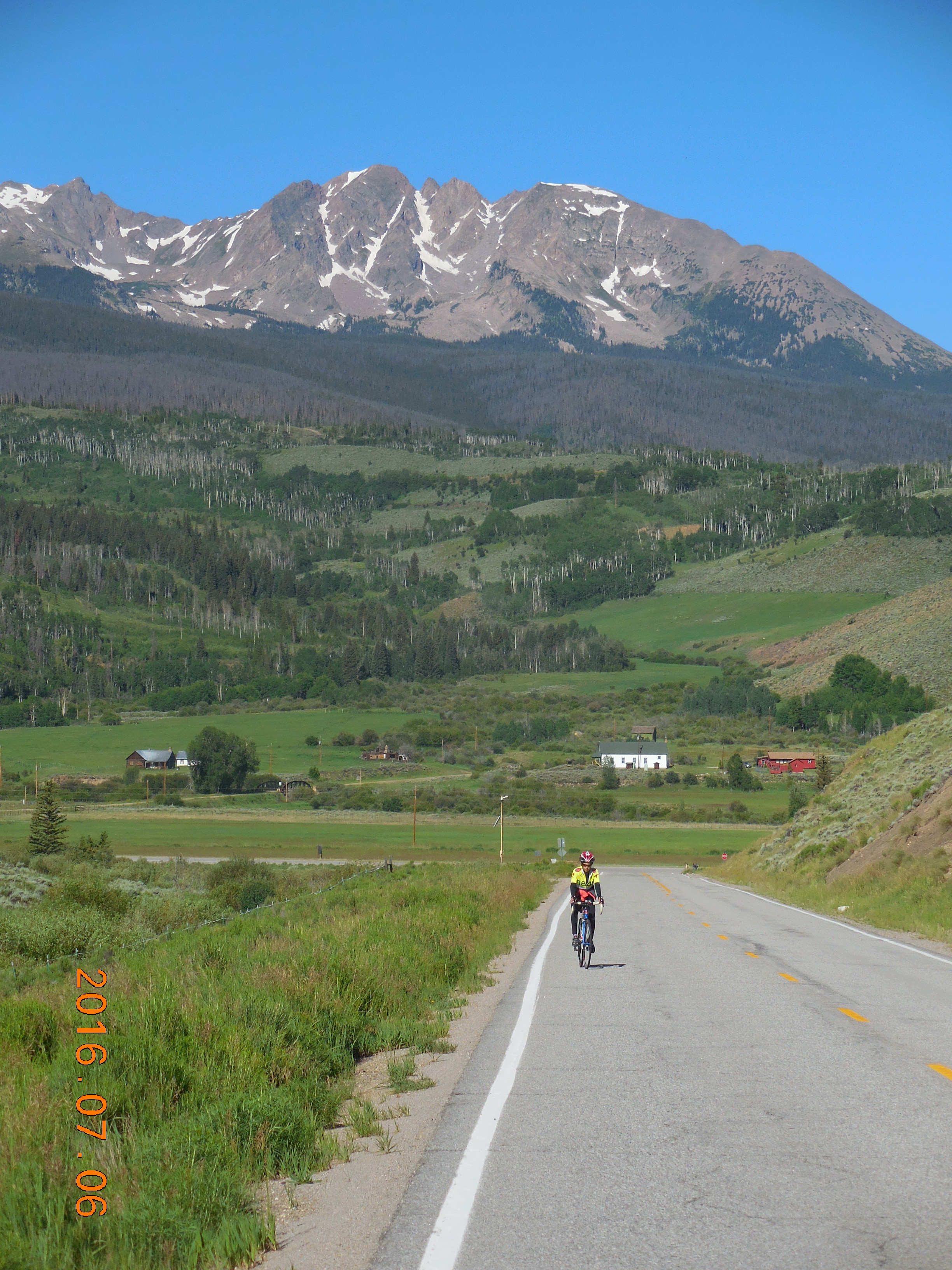
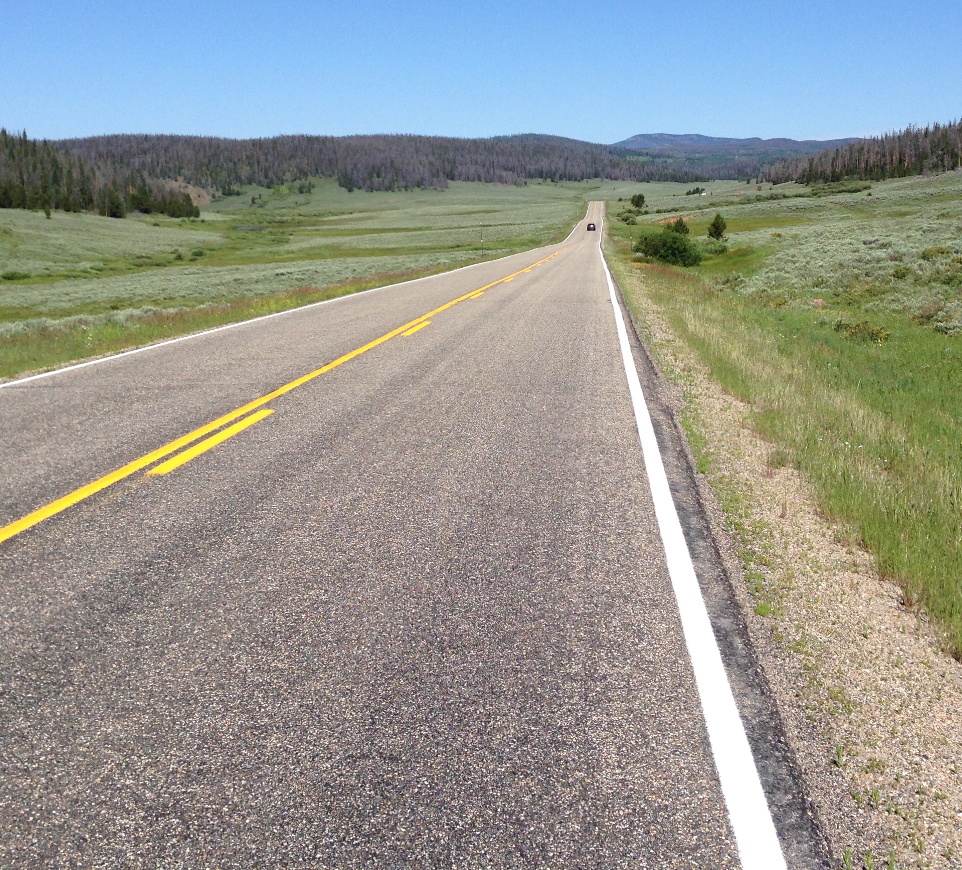
Gore Pass (both sides)
The gradual climb through high meadows on the West side of Gore Pass
Unlike some of the other climbs around Summit County, the two sides of Gore Pass (9,524′) are relatively gentle, going through high meadows and rolling tree-covered hills. The whole ride is almost 54 miles, with 4,430 feet of climbing.
Drive north from Silverthorne to Kremmling. At the T-junction in Kremmling turn left on Hwy 40. Follow this for 6.2 miles and turn left on Hwy 134 to Toponas. Immediately after turning left, turn around and park in the pull-off at the side of the on-ramp to Hwy 40 South (yes, I know this sounds weird, but trust me.)
From the intersection of 40 and 134 it’s about 11 miles and 1,970 feet of climbing to Gore Pass. It starts very gently and there’s even some downhill. After 5 miles the angle steepens.
From the pass, continue for 16 miles to the junction of Hwys 134 and 131 at Toponas. It’s mainly downhill but you climb 660 feet, including an almost 2 mile climb. At the the junction turn round and climb 1,800 feet back to the pass, then back down to the start.
Guanella Pass (both sides)
Looking up the south side of Guanella Pass
Guanella Pass (11,670′) as an over-and-back is a tough but good ride of 47.4 miles with 6,400 feet of climbing. The ride is distinctly different on the north and south sides, with the north side containing many more switchbacks but the south side perhaps feeling more alpine.
Start in Georgetown at the intersection of Rose St and 6th St.
North side. Head west then turn left on Guanella Pass Rd. You’ll go through a strange space-inversion because you’ll immediately see a white sign telling you it’s 11 miles to the top and 24 miles to Grant. Soon after that you’ll see a green sign telling you it’s now 12 miles to the top.
Switchback out of town until you are high enough to head south. You pass three small lakes, with the road flattening as it passes each one. The next section contains long easy sections interspersed with short steep pitches until you reach Guanella Pass after 10.7 miles and 3,140 feet of climbing. On your left you will see the trailhead parking for Mt Bierstadt (14,065′). Immediately left of Mt Bierstadt is the rockier Mt Evans (14,265′). Keep going down the other side to Grant and Hwy 285. The last 10 miles of the descent are on new, beautifully smooth asphalt.
South side. Climb back up the way you came down. After about 5 miles the road flattens out in a long wide valley, but of course it eventually steepens again. Around MM 10 you make two big switchbacks out of the valley and climb up to the pass, which you reach after 13 miles and 3,030 feet of climbing.
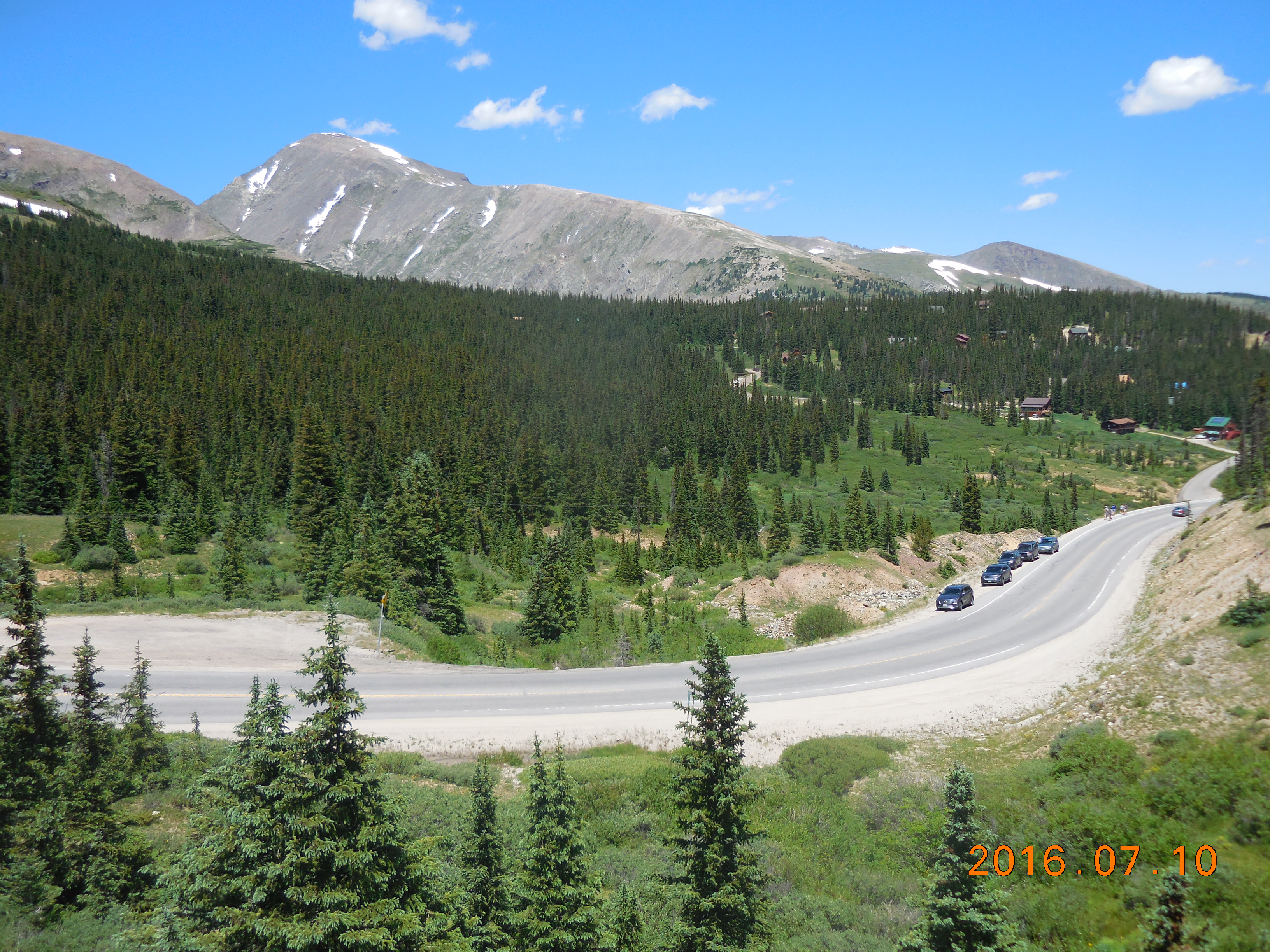
The Copper Triangle
The climb up Fremont Pass
The Copper Triangle is one of the best one-day loop rides in Colorado – if not the country, climbing through beautiful mountain scenery over three passes (Fremont – 11,318′, Tennessee – 10,424, Vail – 10,662′). In 79 miles it climbs about 6,100 feet.
The loop is most commonly started in Copper Mountain, although you can obviously start anywhere on the loop.
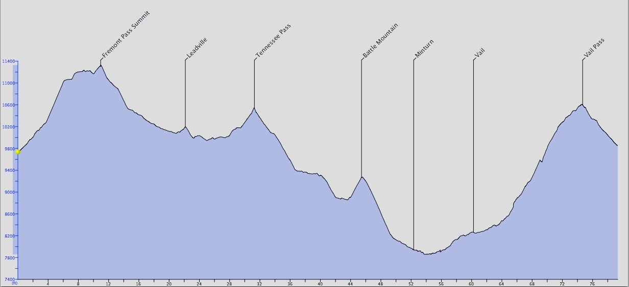
The clockwise profile
If you go clockwise, Freemont Pass has a lovely stretch of about 2.5 miles which climbs 800 feet, the rest being gentle ascent or rolling. (There are four troughs in the bike lane which will swallow your bike if you go into them 🙂 ). After Fremont Pass, it almost feels downhill all the way to Vail.
You will hardly notice the climb up Tennessee Pass but the descent is long and varied – and interrupted by a short climb up Battle Mountain. As you go down the longer, north side of Battle Mountain you pass the strange abandoned mining town of Gilman.
Just past I-70 you’ll turn right on the bike path and follow this, roads, and more bike paths up through Vail to Vail Pass. This is the big climb if you go clockwise.
 I prefer the counter-clockwise direction. An easy ascent of Vail Pass followed by the long, long descent through the Vail Valley. Turn left on Hwy 24 to Minturn and Leadville. This is mainly a long, relatively easy angled climb. However, there’s a steep 4 mile climb up Battle Mountain (followed by a descent), and there are several other short steep segments. Eventually you’ll pass the huge flat meadow that once contained Camp Hale, the training camp that housed about 15,000 men of the 10 Mountain Division during WW2. At the top of Tennessee Pass you’ll pass Ski Cooper. Whenever I pass this I wonder how many people have booked ski vacations there thinking they were booking at Copper Mountain.
Easy riding leads to Leadville where you turn left onto Hwy 91. A slight downhill then lots of flat riding leads to the climb up Fremont Pass. I prefer Fremont Pass from this side because it’s a straight climb, while from the north there are several miles of rollers before the pass. Thus, once you make the big left-hand turn and climb more steeply to Fremont Pass, you are faced with several miles of rollers before the fast descent into Copper Mountain.
Lake Dillon Loop
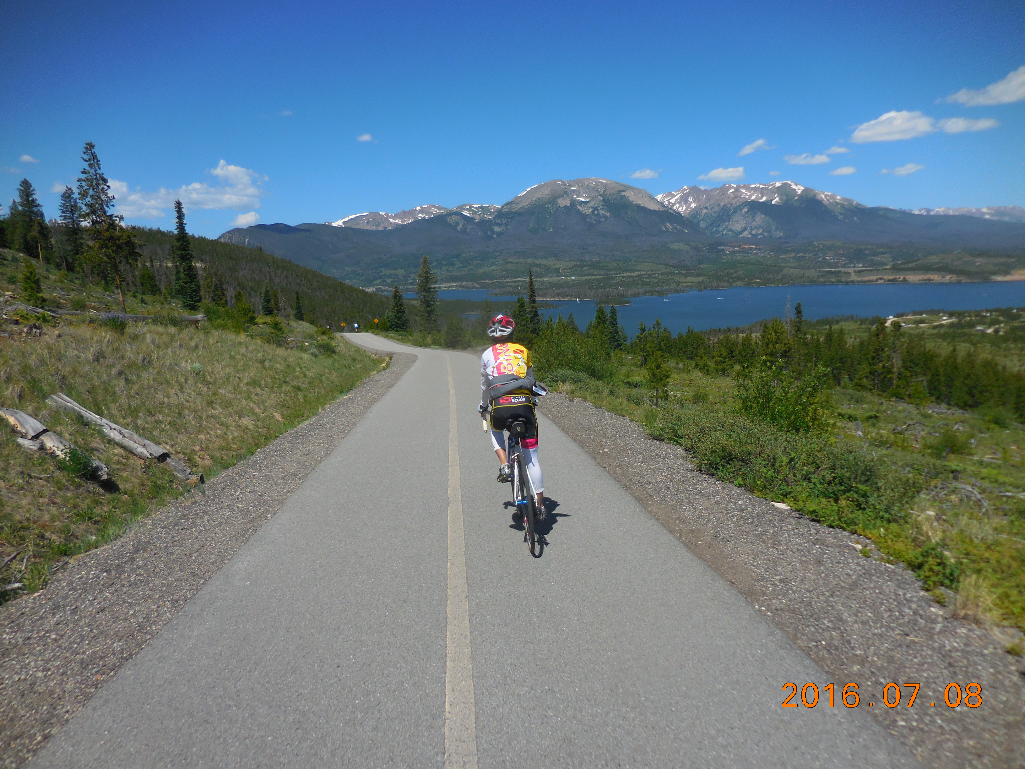 A wonderful ride around Dillon Lake, it weaves and ducks, constantly changing direction, constant short climbs and descents. There’s one big climb, over Swan Mountain. The whole ride is about 19 miles with 1,100 feet of climbing. The best way and most common way to do it is clockwise.
The one section on the road with cars is the west side of Swan Mountain. Riding clockwise you get to ride down this section fast rather than climbing it slowly (although the climb does have a bike lane.)
(My one peeve about this loop is the signs. Sometimes it’s difficult to know which way to go, especially as the route works its way through Frisco. Given how popular the loop is, I wish whoever created the bike path had put up signs for “Lake Loop”, telling you which way to go at each decision point. On top of that, many of the signs have tiny writing which makes them difficult to read as you are cycling.)
Get on the path at any point and continue round the lake until you get back to where you started! Here’s a map of the route, but be aware that the path does sometimes change as construction is done on roads or the path. Key decision: as you do the loop clockwise, just as you are reaching the big Medical Center on the south end of Frisco, turn right and follow the bike path down to Highway 9 and across. This puts you on the correct bike path for going through Frisco. And here’s a page where you can find a map of the whole Summit County Recreational Pathway System.
Montezuma
 The ride from Keystone to Montezuma is a very popular little climb of about 5 miles and 900 feet of climbing, but only about half of the distance is real climbing, the rest being false flats. The car traffic is pretty light and we saw more serious cyclists on this than any other climb we did in Summit County.
It’s a fun little climb and worth doing from Frisco, Dillon or Silverthorne, or as an add-on to the Lake Dillon Loop.
Wildernest Road / Ryan Gulch Road
 A fun little climb out of Silverthorne, 3.2 miles and 1,000 feet of climbing. The road is smooth and wide and would be a great finish to a bike race. It winds up through vacation homes and rentals and finishes at a large trailhead parking lot.
Start at Lowe’s in Silverthorne. If you are riding from Frisco along the Dam Road, turn left once you are past the dam, then left again. Follow the bike path through a tunnel then down a series of tight switchbacks and under I-70 to Lowe’s.
Ride up Wildernest Road, which soon becomes Ryan Gulch Road. After 3.2 miles and 975 feet of climbing you reach the big trailhead parking area. Continue around the loop and you’ll come back out on the road you just climbed, after a short ascent that brings the total climb to just over 1,000 feet. Turn right and head back down the way you came.
Variation: Instead of heading up Wildernest Road, turn right in front of Lowe’s and climb up Buffalo Mountain Drive. After 0.9 delightful miles turn left on Buffalo Drive to join Ryan Gulch Road. Or continue up Royal Buffalo Drive and turn left after 1.7 miles on 20 Grand Road to join Ryan Gulch Road.
