
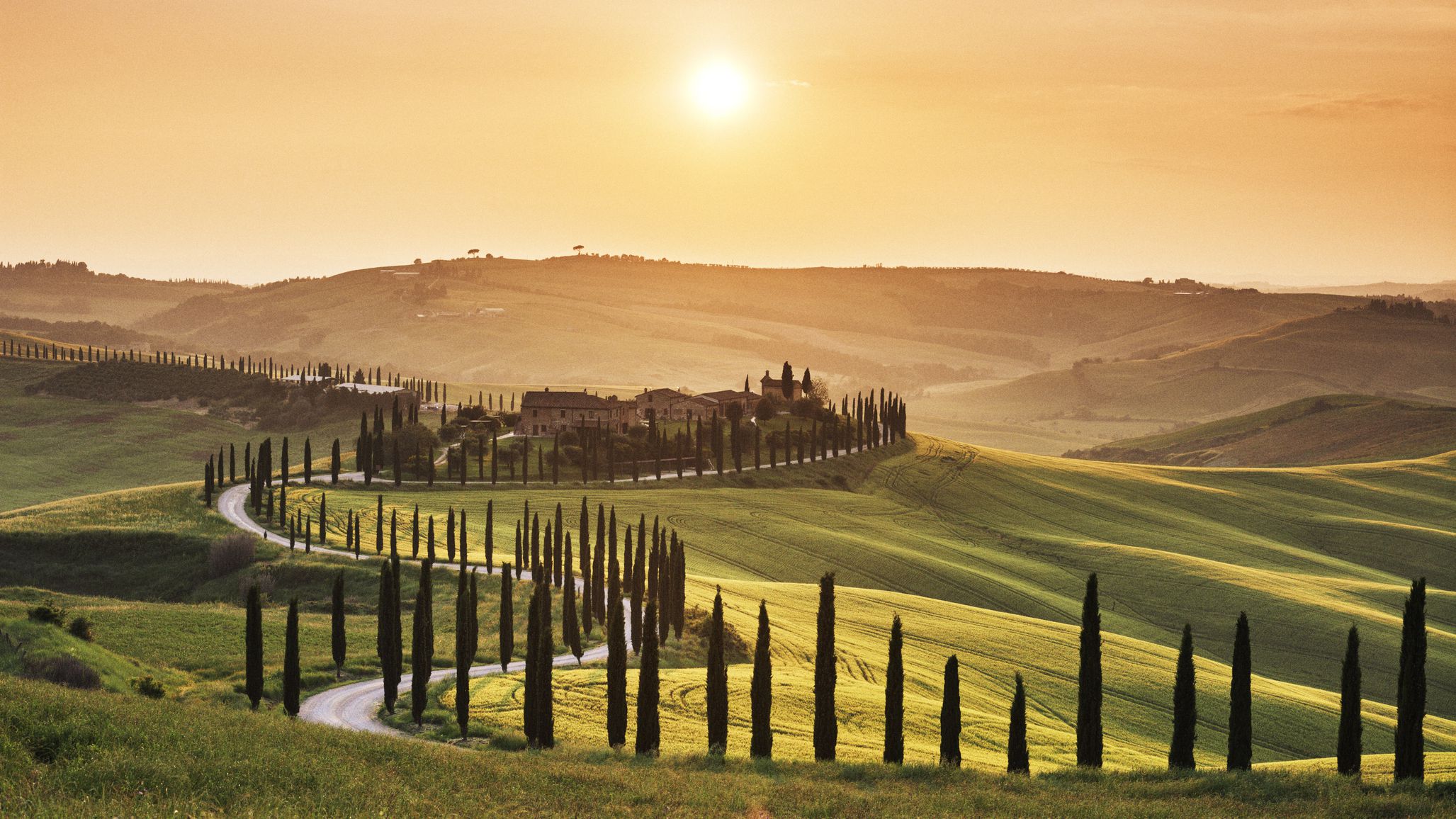
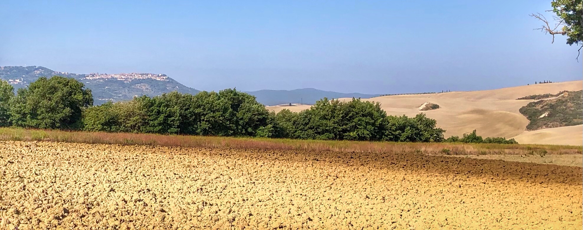
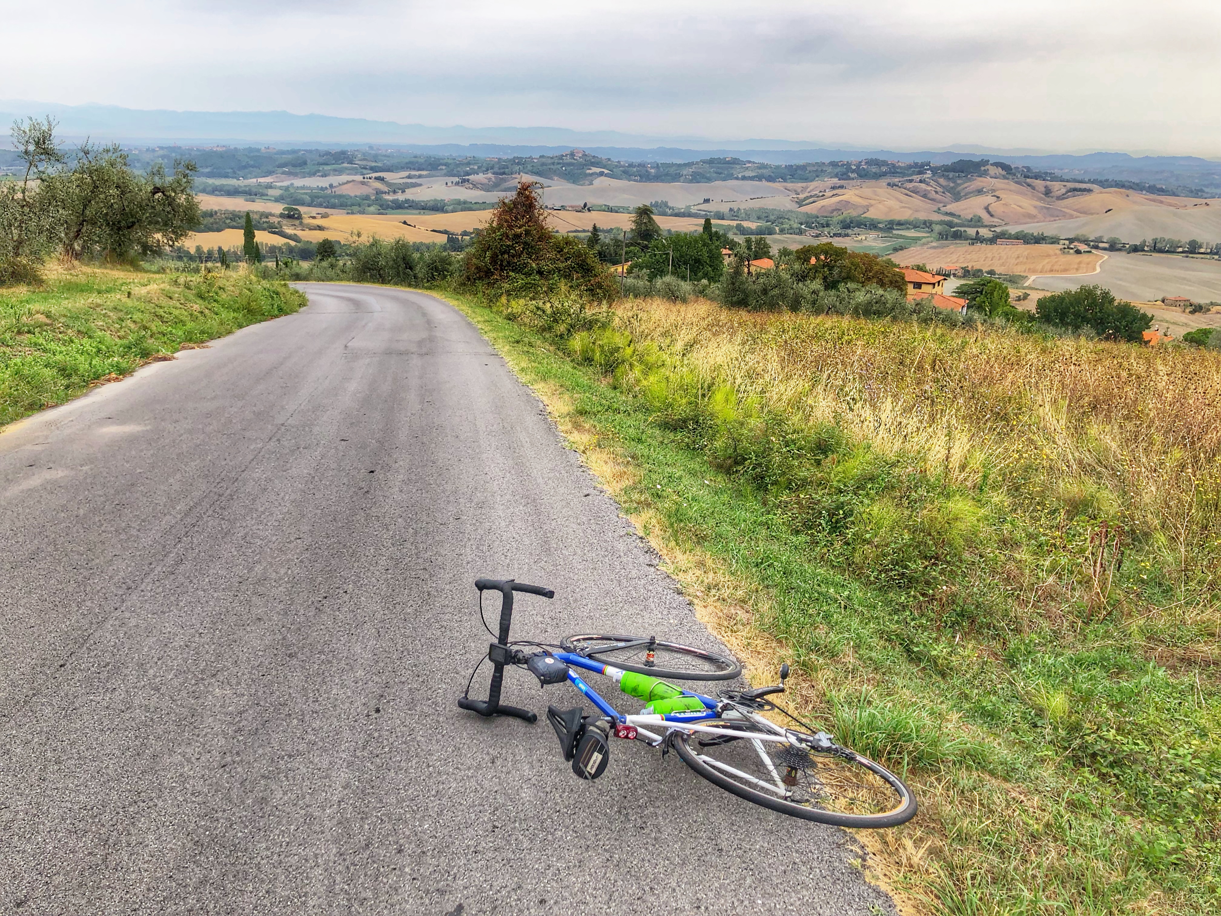
A rather romantic and probably highly edited photo of beautiful Tuscany
Tuscany has a timeless familiarity, with its iconic Florentine cathedral dome, gently rolling hills dipped in soft morning mist and sculptural cypress alleys – the whole of this central Italy region is postcard material. Golden wheat fields, silver olive groves and pea-green vineyards marching in sharp terraced rows on hillsides form a graceful prelude to soul-soaring medieval hilltop villages, mountain ranges and fecund forests in the north, and a garland of bijou islands beaded along the coastal south. Get out, explore, hike, bike and ding your bicycle bell, as this rousing postcard-perfect landscape demands.
— Tuscany, Lonely Planet
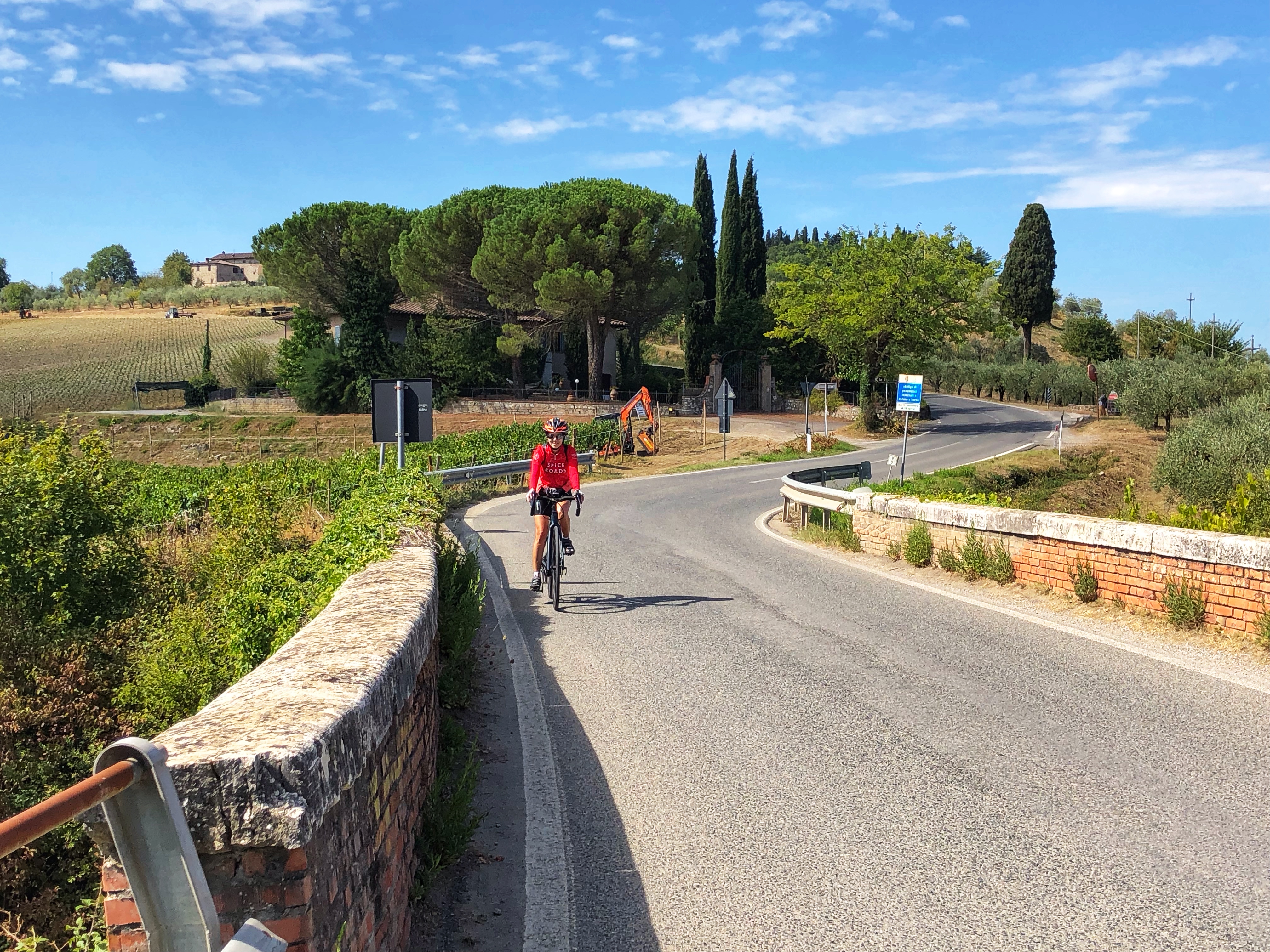
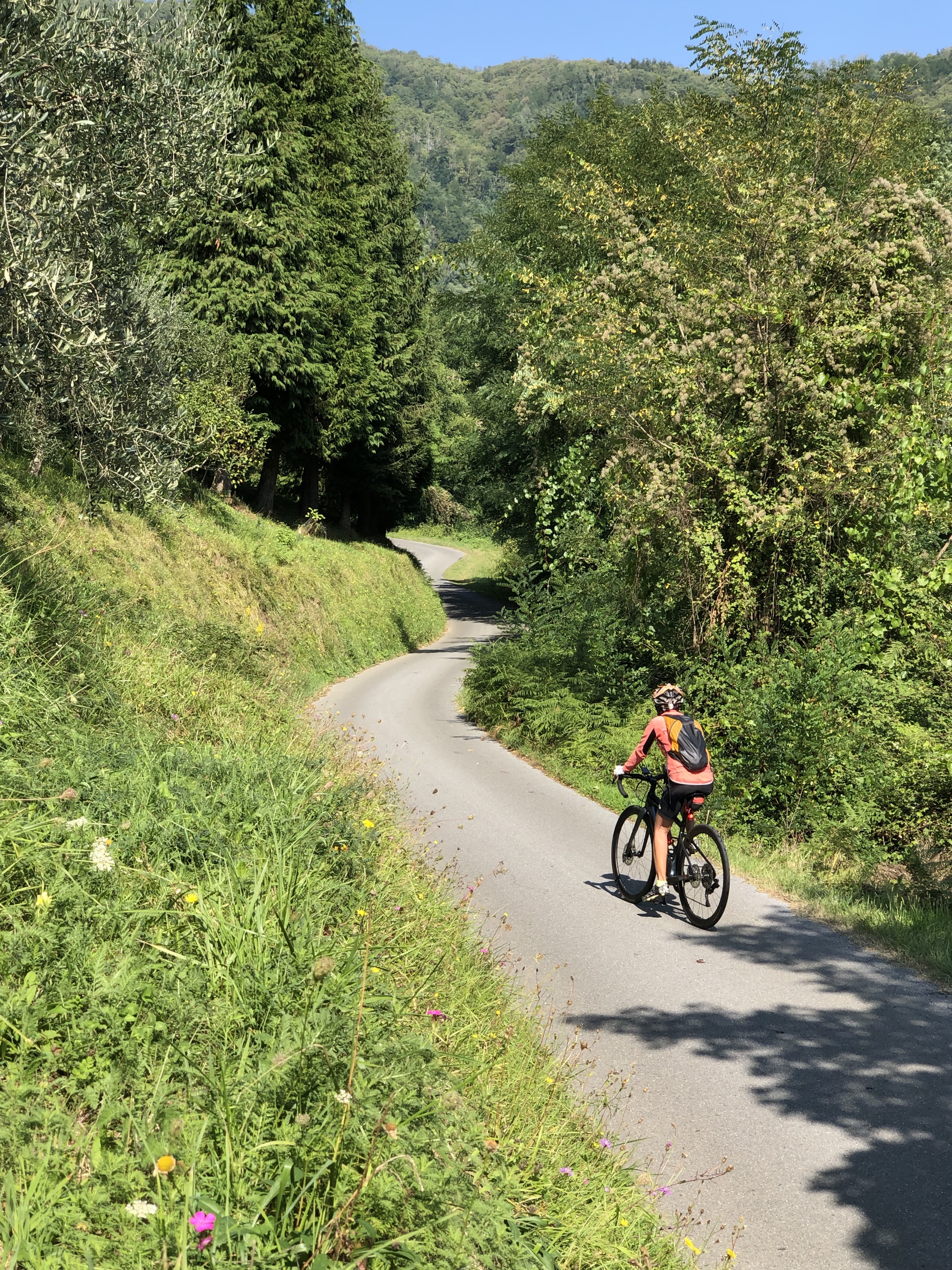
There are so many great rides in Tuscany, so many twisting, rolling roads. The rides are much more rolling than the big climbs around Bormio or in the Dolomites, which gives Tuscany a very different flavor. If you are not into long climbs, Tuscany may be perfect for you. It’s fun to ride up into the hilltop towns that you pass; just be aware that sometimes the roads will be cobblestone or paved with tiles rather than asphalt.
I’m not giving turn by turn instructions as there are so many intersections and little villages, and it’s better to simply download GPX files from a website like Ride with GPS or Komoot. I’ve given links to GPX files for many of the rides we did, but not all of them. Some rides I didn’t think were good enough to recommend; the rides felt too industrial or there was too much traffic.
One thing to note is that at times we went the wrong way and had to double back. I’ve edited the GPX files and removed the superfluous points, so hopefully they won’t take you the wrong way 🙂
You can view all my Ride with GPS files here. Or just the Tuscany rides here.
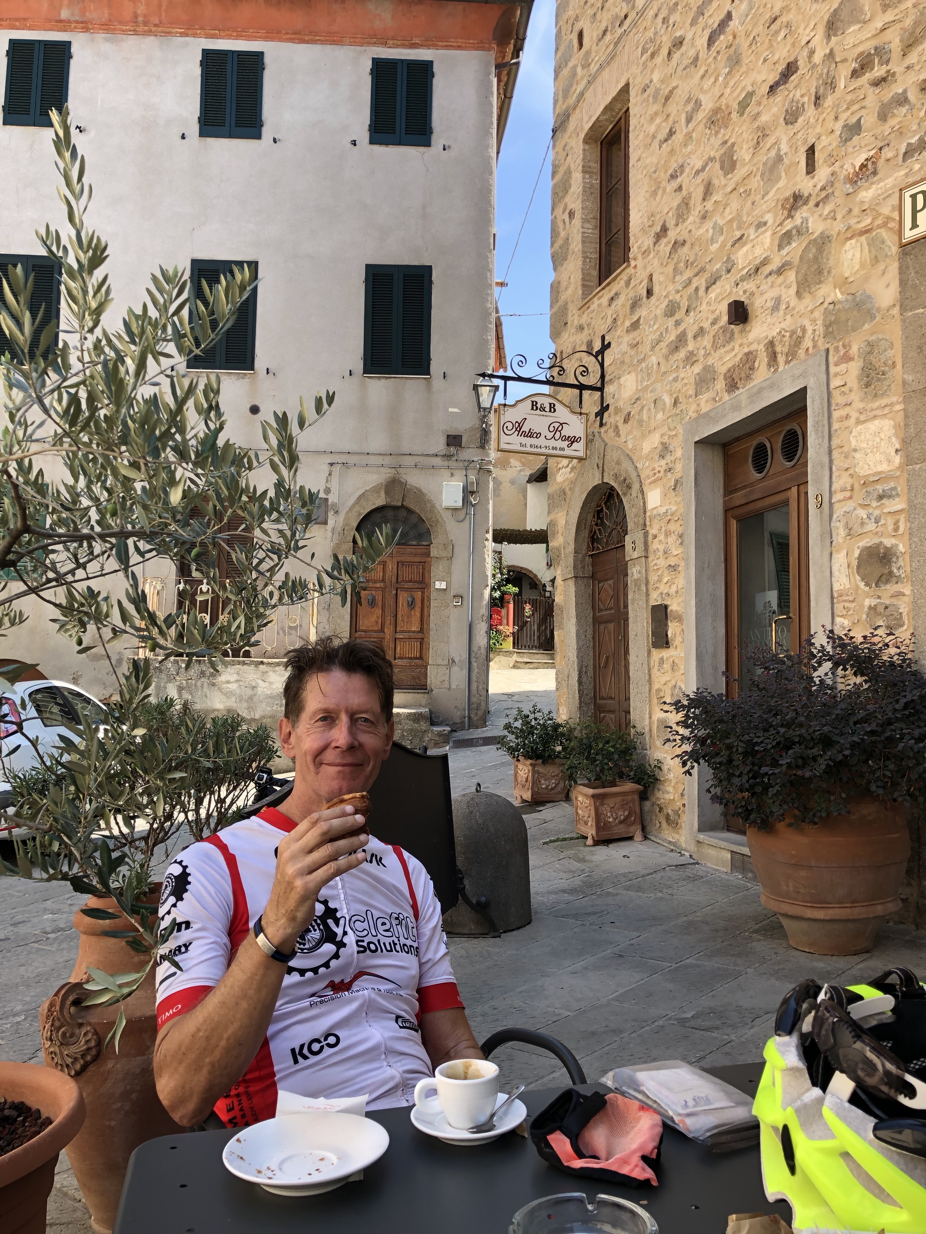
Castellina in Chianti
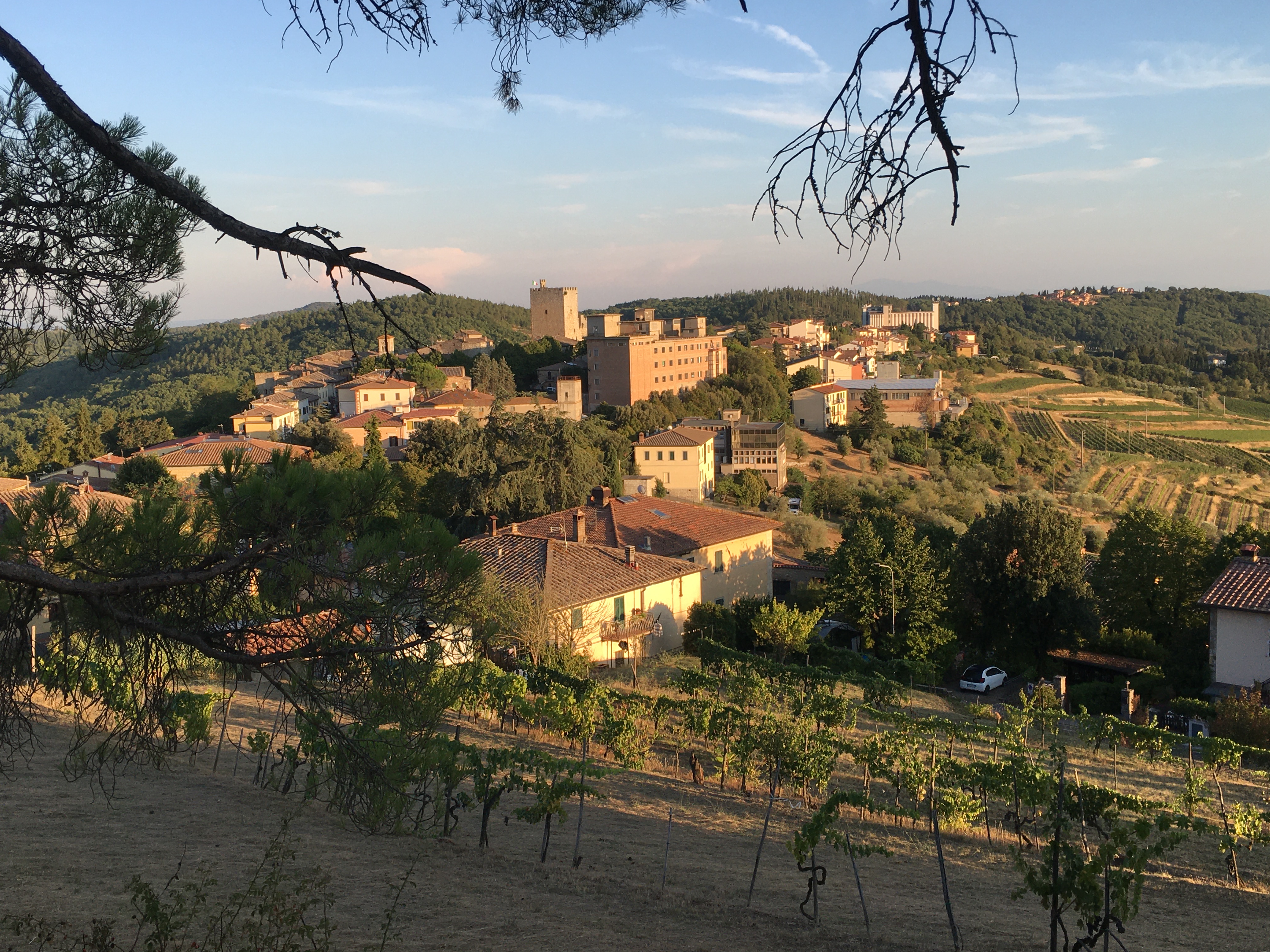 Castellina is a lovely, touristy, little hilltop town with a very pretty central pedestrian area. It’s a good place to stay for a few days; after that you’ve seen the place and done lots of the good riding.
Castellina – Radda short loop
 This is a delightful clockwise loop to the north and east of Castellina, looping back through the pretty hilltop town of Radda. It’s about 26 miles with 2,260 feet of climbing. Here’s the Ride with GPS link.
Castellina – Castelnuevo Berardenga – Radda Lollipop
 A great counter-clockwise lollipop of about 56 miles with 5,000 feet of climbing. You could shorten it by starting on the loop itself but we were staying in Castellina and chose to ride to the loop. The section from Radda to Castelnuevo Berardenga didn’t impress me too much, but from Castelnuevo Berardenga up through Giaole to Radda is fantastic and beautful, and includes a 4 mile climb above Giaole. Here’s the Ride with GPS link.
San Gimignano
We did a loop to San Gimignano but I don’t really recommend it as too much of the riding was on busy roads, and riding into San Gimignano was painful due to the number of cars moving almost imperceptibly. But the very wiggly SR 429 was delicious and perhaps a good loop would be to descend the SP 130 to Poggibonsi and come back up the SR 429.
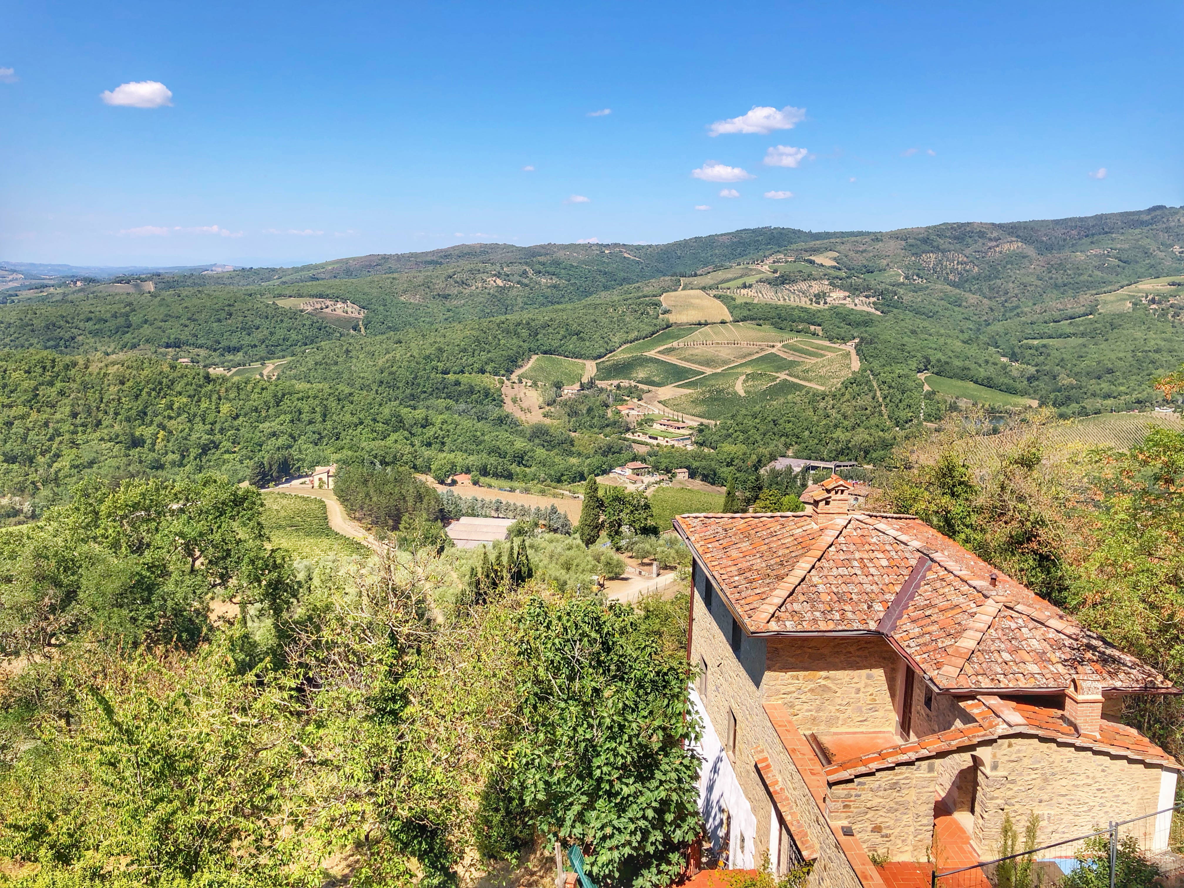
Montalcino
 Montalcino is another lovely hilltop town, rather bigger than Castellina but not quite as pretty. It has a seemingly infinite number of small streets, steps, and passageways to explore. And being the home of the famous Brunello wine, you’ll find lots of wine tasting opportunities.
Montalcino – Monticello – Seggiano Loop
 The ride is a lovely counter-clockwise loop through varied countryside, rolling and twisty with lovely views of various hilltop. It’s about 51 miles with 5,830 feet of climbing. It starts in Montalcino and rides through Porrona, Monticello Amiata, Arcidosso, Seggiano, Castelnuovo dell’Abate, then back to Montalcino. We rode up into several of the hilltop towns, and had coffee in Seggiano. Here’s the Ride with GPS link.
Montalcino – Monte Amiata Lollipop
 This climbs 4,000 feet up the biggest hill in the area, Monte Amiata. The climb includes many sections of 10+ percent. The upper part is very wooded and at times you’ll be riding through a tunnel of trees. At the very top there are bars, cafes, restaurants so you’ll be able to rest and refuel. The whole ride is about 58 miles with 7,900 feet of climbing.
It’s a big lollipop whose counter-clockwise loop goes through Castel del Piano, up Monte Amiata, down a delightfully smooth and twisty road to Abbadia San Salvatore, then up a deliciously steep hill until you eventually rejoin the stick of the lollipop. Here’s the Ride with GPS link.
Montalcino – San Quirico d’Orcia – Castiglione d’Orcia – Castelnuovo dell’Abate Loop
 Yet another great clockwise loop, 32 miles and 3,850 feet of climbing, covering beautiful terrain and visiting stunning hilltop towns. This ride includes a side trip to the amazing Roc d’Orcia. We went up a new one-way road that included sections of greater than 20%. If you want to avoid this brutally steep section, ignore the GPX file and just stay on the main road. Here’s the Ride with GPS link.
Castiglioncello
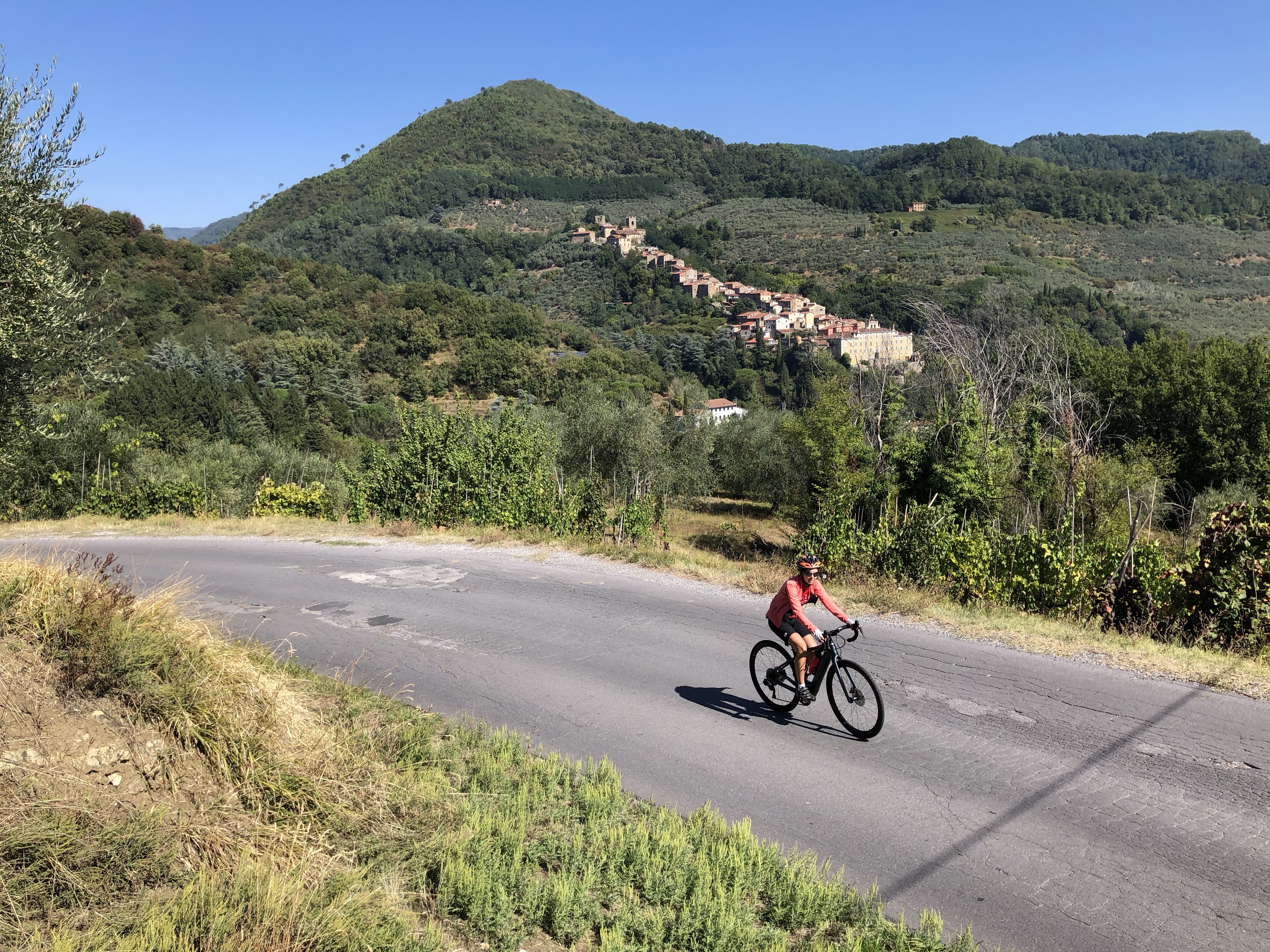
Castiglioncello – Chianni Loop
 I did this loop on a rather dismal day but really enjoyed it anyway. The whole loop is about 44 miles with 4,100 feet of climbing. The first 7.5 km are on busy roads and not much fun (at least during rush hour), but after that the roads are much quieter and more enjoyable. The ride starts with a long climb through Castellina Marittima, then after that there are miles and miles of wonderful rolling riding through very pretty countryside.
At one point there was a lovely feeling of remoteness and some great downhill switchbacks, but after that the whole thing feels very comfortable and pretty. I though this loop was well worth doing if you are in this seaside area. Here’s the Ride with GPS link.
A couple of days later Tanya and I did a shorter variation of this ride, finishing the climb at Castellina Marittima then contouring across the mountain almost to Santa Luce, before descending back to Castiglioncello on the same route as the longer ride. This shorter variant was about 27 miles with 2,250 feet of climbing. Here’s the Ride with GPS link.
Lucca
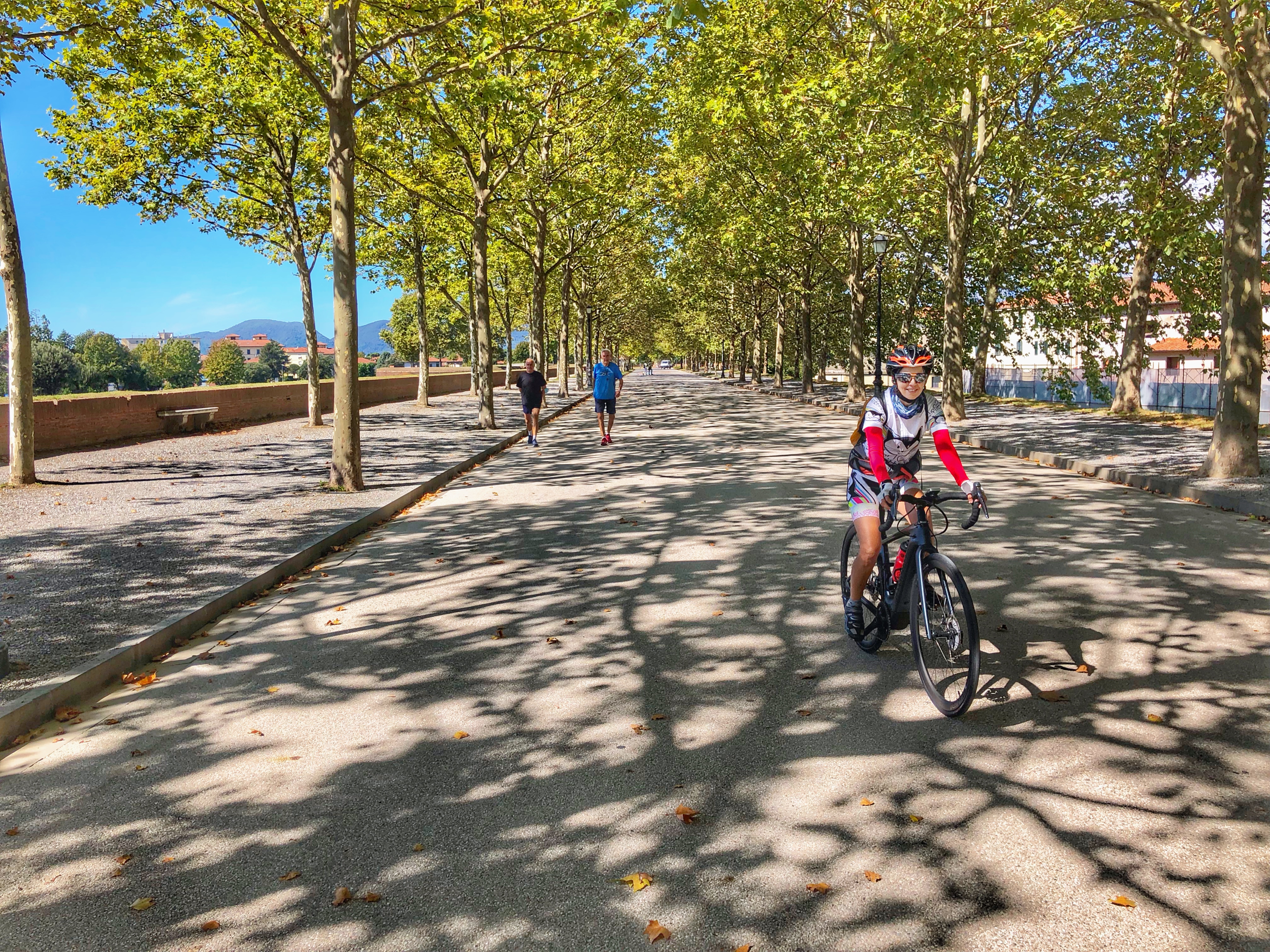 Lucca is famous for its old city, with a 4 kilometer wall around the city on which you will always find people walking and riding their bikes. See photo above. In our experience, the rides around Lucca tend to be more long uphills followed by long downhills, than the rides further south, which were a lot more rolling.
Lucca – Fiano
Another lovely Tuscan ride with two beautiful climbs and gorgeous views. In particular, at around 7 km you end up on a wonderfully smooth road with stunning views of the countryside.
This ride involved some exploration as the connecting part of the loop was closed, so we rode up another road, which eventually turned to dirt.
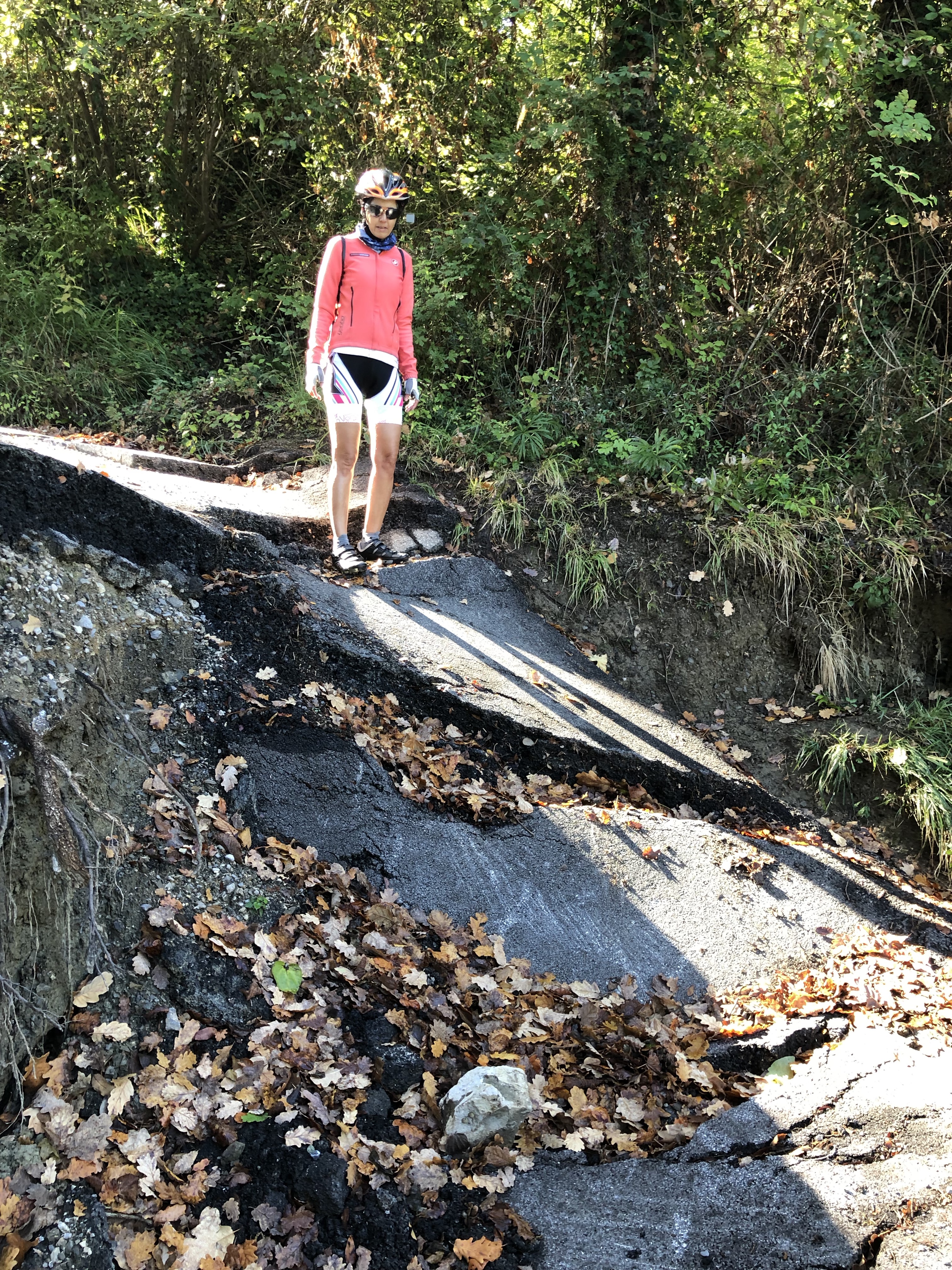 Back to the closed road, which we rode – apart from a small step where the road had dramatically collapsed. Then up a lovely climb to the high point just above Fiano, and a stop at Finano’s pretty church.
We were redirected a different way back to the start because of a street market and I fixed up the GPS file – hopefully correctly 🙂 Here’s the Ride with GPS link.
The whole ride is about 27 miles with 2,500 feet of climbing.
Lucca – Pescaglia – Bagni di Lucca – Collodi
 A tough loop of about 64 miles and 6,400 feet of climbing, with two big climbs. After a tedious 10 km start, the first pair of climbs through Fiano and Pescaglia are a delight, followed by a long descent down a cold dark valley (at least in September).
Then there’s the big climb out of Bagni di Lucci to Boveglio, followed by a long, not so pleasant, descent to Collodi.
To avoid riding on any busy roads the return follows some beautiful (and tough) rolling roads with great views, through Petrognano, until the final stretch takes you on quiet roads through an industrial area of Lucca. Quite a trip. Here’s the Ride with GPS link.
Lucca – Matraia – Collodi out-and-back
 We did this ride as, after an initial climb Matraia, it simply rolls and twists beautifully along the front of the hills, ending in Collodi, then comes back the same way. The whole thing is about 29 miles with 2,700 feet of climbing. If you are bored with long climbs, this is a great alternative. Here’s the Ride with GPS link.
Matraia – Pizzorne – Biencina Loop
This ride was bit more of an adventure than we wanted. We were bored with the flat riding to leave Lucca so we drove to 43.897694, 10.552699, just below Villa Reale above Marlia.
 The climb from Marlia through Matraia to the strange hill village of Pizzorne is excellent, and includes a short section just above Matraia that Tanya’s Garmin recorded as over 20%. Unfortunately the road from Pizzorne to Biecina has some very rough road which was not very pleasant.
From Biecina to Villa Basilica a delightful, quiet little road above the valley wanders along with some brutally steep sections. We’d planned to climb from Villa Basilica up to Pizzorne again but decided this was too daunting a proposition and instead descended to Collodi and rode back along the rolling foothills road through Petrognano.
The whole ride ended up being about 29.6 miles with 4,500 feet of climbing. Here’s the Ride with GPS link.
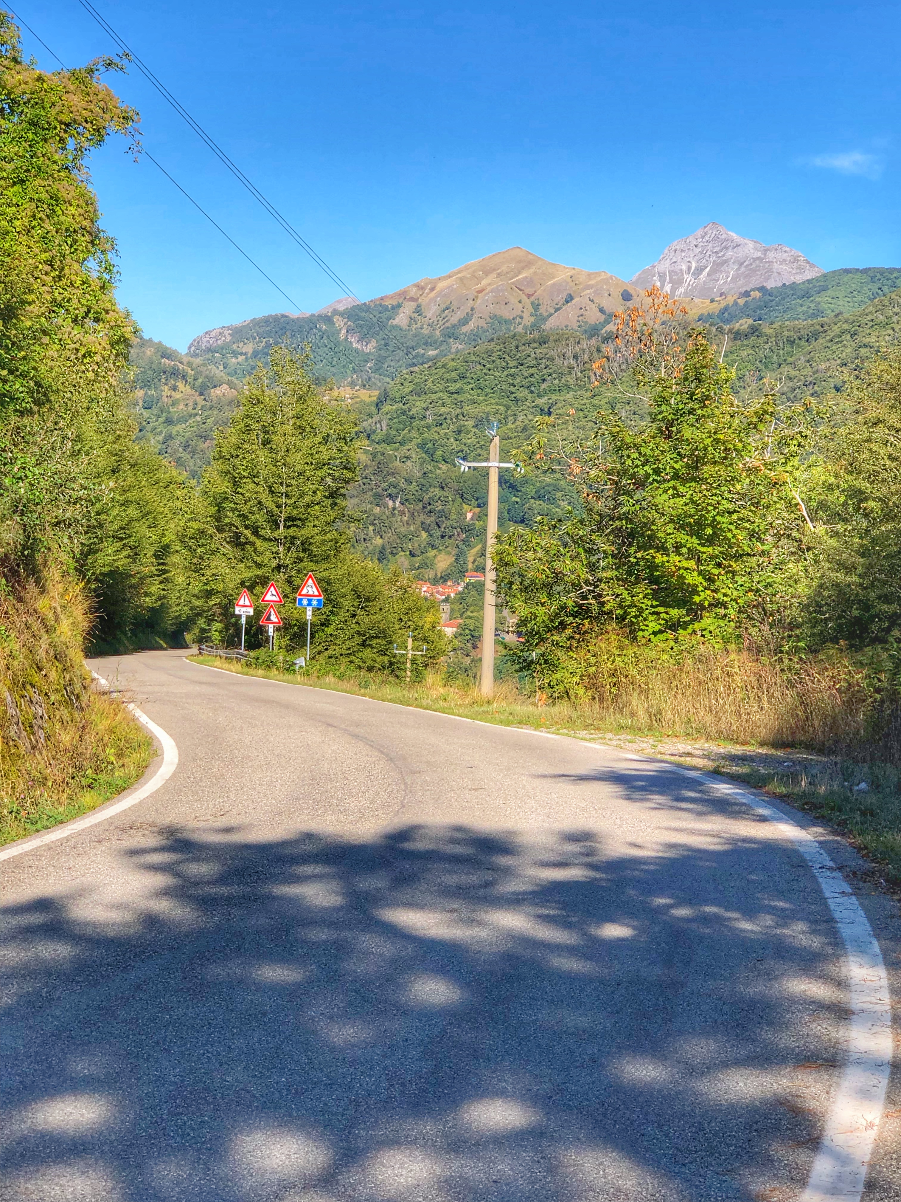
Garfagnana
 The Garfagnana area is to the north of Lucca and higher in elevation. It’s where people go in the summer to escape the heat of the lowlands. Everything is pretty much up and down so you’ll be in for a lot of climbing. To the west are the spectacular and rocky peaks of the Alpi Apuane (Apuane Alps), which give wonderful views on some of the rides. I did just two rides here, driving up from Lucca.
Pieve Fosciana – San Pellegrino – Castiglione di Garfagnana Loop
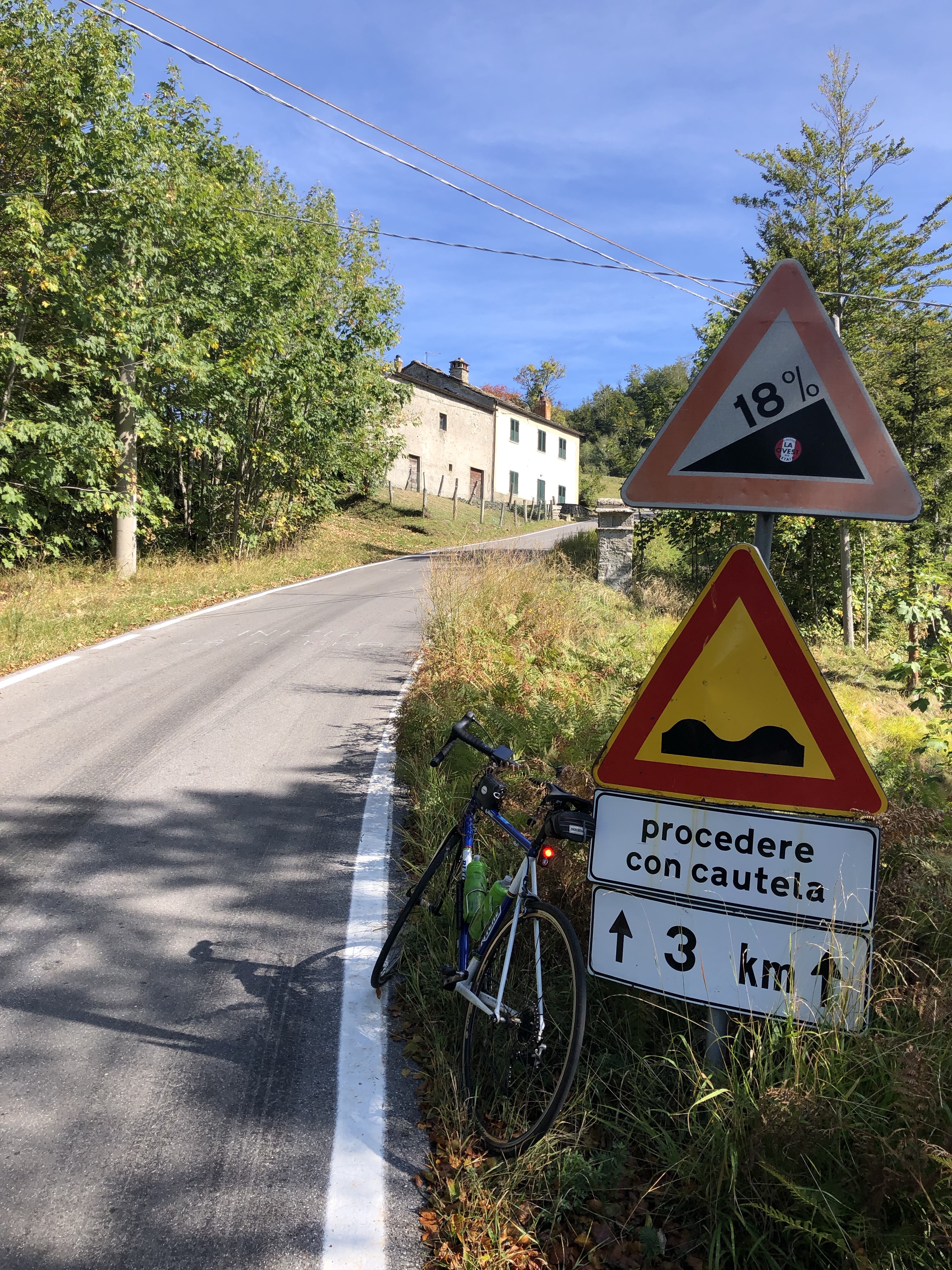 A wonderful loop starting at 44.132048, 10.413522, a car park in Pieve Fosciana. The ride is about 27 miles and 4,200 feet of climbing.
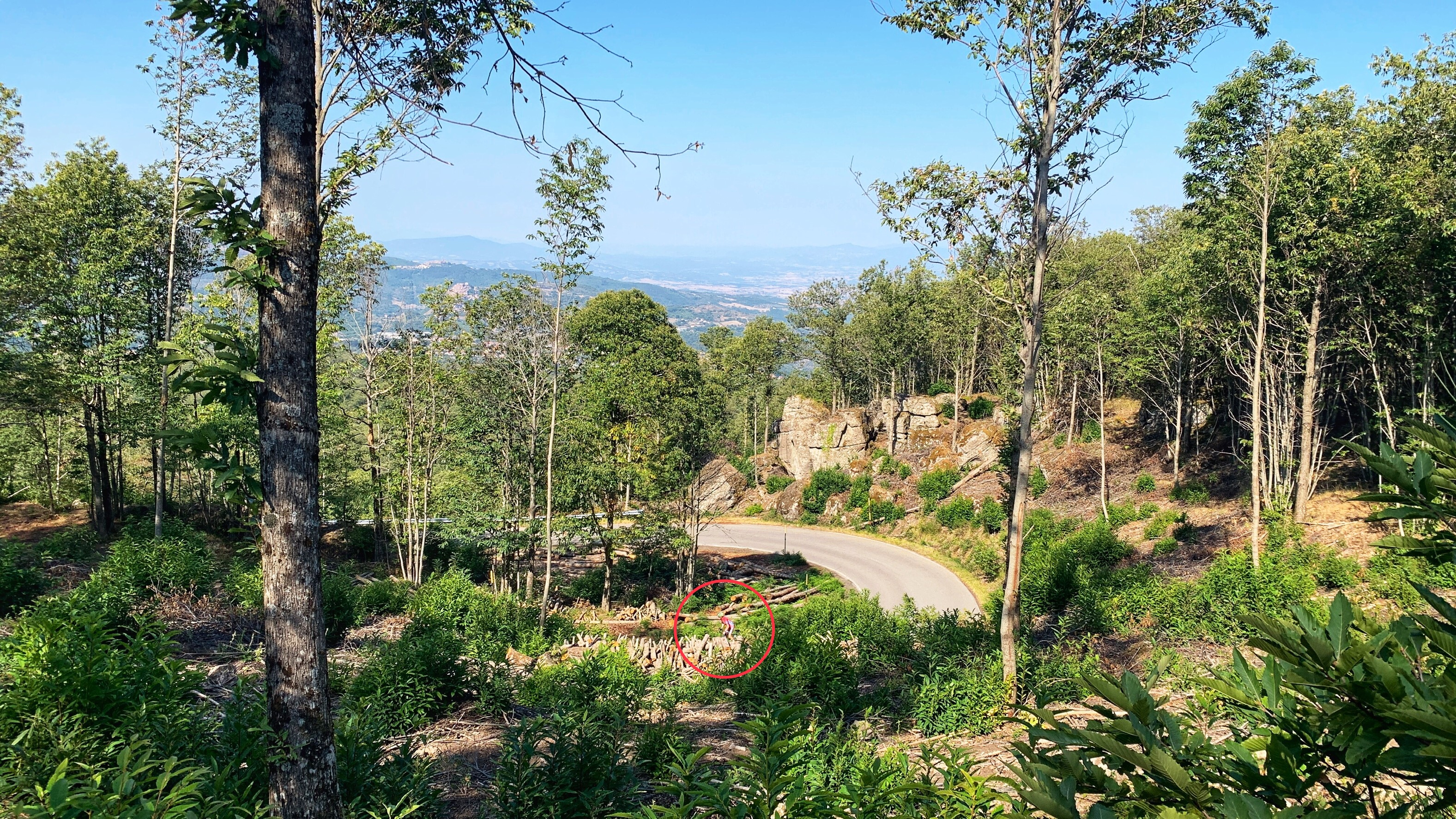
You can do the loop in either direction but I chose to go counter-clockwise, up through San Pellegrino in Alpe, because the road through San Pellegrino is, well, Alpen. The 18% in the photo is no exaggeration and I had to stand for most of 3 km.
Going up the steep way leads to a wonderfully relaxed, gentle, and sweeping downhill with lovely views. Most people ride clockwise.
Here’s the Ride with GPS link.
Barga – Renaio out-and-back
 A simple but long climb, on a good road, with some beautiful views. Starting at the car park at 44.045777, 10.480123 in Fornaci di Barga, it climbs through the pretty town of Barga (the most Scottish town in Italy), then more peacefully up, up, and up to the tiny village of Renaio.
At this point you could make a loop by continuing down the fascinating-looking switchbacks, but the road surface is less than good, so it’s more comfortable to return the way you came. The whole ride is about 20.6 miles with 2,900 feet of climbing. Here’s the Ride with GPS link.
Links and other Clicks
Here are a couple of places that offer guided rides in Tuscany
Riding With Cosimo does guided trips from Florence.
Cinghiale Cycling Tours with Andy Hampsten offers several different tours.
