
Late May 2026 and onwards.
KmM = Kilometer Marker
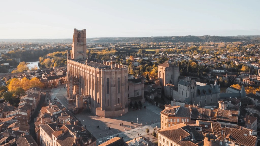
Albi, a city of about 53,000 to the North-East of Toulouse, has a very pretty downtown filled with large religious buildings. The Episcopal City of Albi has been a UNESCO World Heritage Site since 2010.
The Episcopal City of Albi is dominated by the lofty fortified Sainte-Cécile Cathedral, built in the late 13th century from local brick in characteristic red and orange colors. It is the largest brick Cathedral in the world.
Other religious buildings include the Berbie Palace—the former bishops’ palace, now the home to the Toulouse-Lautrec Museum, and the Saint-Salvi collegiate church.
Albi prides itself on the cycling around it, although there is no particular ride that you can point to and name. Instead there are lots of villages and lots of quiet roads, and so you can create many wonderful and varied loops. The area around Albi is very agricultural so you’ll be riding through farmland much of the time and will see fields here, fields there, fields everywhere.
Since this website is mainly about cycling uphill, I’m only including a few rides that have significant amounts of uphill. For more loops, look at OpenRunner. If you are in Albi for any length of time, it’s worth looking into the local cycling club, Cyclo Randonneur Albigeois (CRA), which has organized rides three times a week and which provides private club-specific GPX files for the rides.
Tarn Northern Climbs – West side
This ride is for people who like to climb! It does all the northern climbs from the River Tarn to the east of Albi, between Arthès and Ambialet. It climbs then descends each climb. Because, why not?
The final climb is on the way back, on the south side of the Tarn where you either have to climb or ride through very narrow, rather scary tunnels.
The loop is about 90 km with 5,800 feet of climbing. Sorry I didn’t take any photos on this ride. But it has such a lovely profile 🙂

Here’s the ride on Ride with GPS, starting in Albi and returning along the south side of the Tarn.
Tarn Northern Climbs – East side
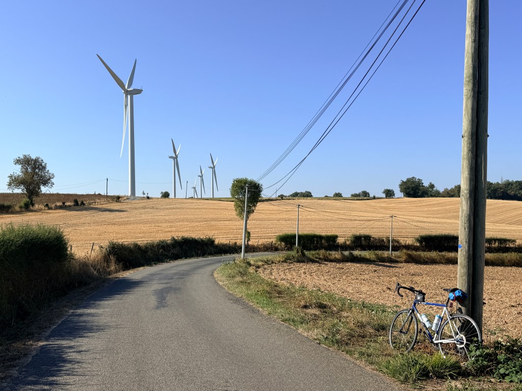
Another ride for people who love to climb. This ride does all the northern climbs from the River Tarn between Ambialet and Trébas, starting in Ambialet. I parked here.
This ride climbs then descends each climb. There are fewer climbs than in the west section, but the climbs are generally a bit longer. The loop is about 83 km with 6,400 feet of climbing.

Here’s the ride on Ride with GPS, starting in Ambialet and returning on the south side of the Tarn, with a big climb up through St. André and a delightful descent back down to Ambialet.
Eastern Loop – north of the Tarn
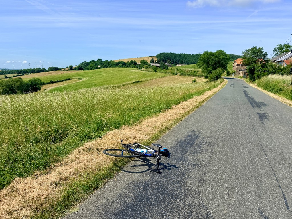
I wanted to explore the hillier area to the East of Albi, and in particular the Notheast. This is the result. I made a mistake in Ambialet so ignore that part of the GPX file. This loop is about 103 km with 5,200 feet of climbing.
The road along the river, the D700 is almost like a bike path, very relaxing. But towards Albi, I rode up two completely unnecessary but fun and steep little climbs, just to make things a little more interesting.
Here’s the ride on Ride with GPS.
Eastern Loop – both sides of the Tarn
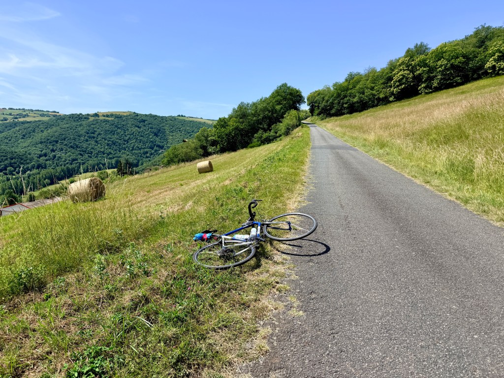
A great loop with lots of climbing on both sides of the river Tarn. The highlights for me were riding up the Côte du Croup, through the tiny hamlet of Cambon du Temple, the descent through Saint-André, the climb up the Route de Lesquiquié (have to love that name), and the climb up towards Assac (my favorite of the climbs). Probably the steepest climb was the climb to Sérénac. The whole loop was about 112 km with 6,300 feet of climbing.
There was a bit more cycling on the D999 than I’d prefer, but I rode it on Sunday morning and there was very little traffic so it wasn’t bad. At other times there can be a fair number of trucks on the road.
Here’s the ride on Ride with GPS.
Beautiful Northern Route
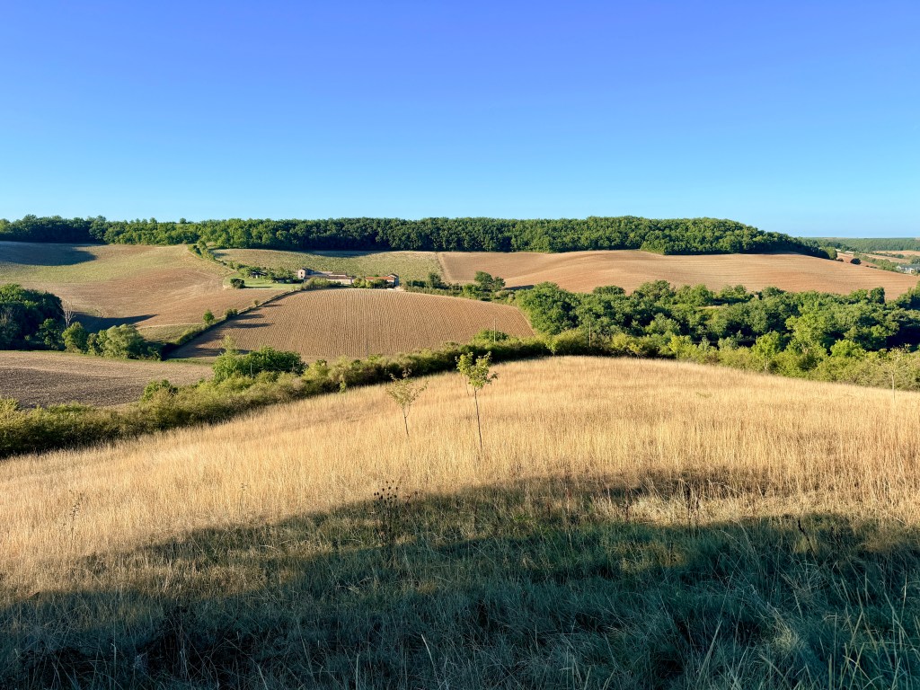
This is one of my favorite routes around Albi. It has everything: beautiful flats, false flats, easy hills, hard hills, very hard hills, gorgeous descents. There’s never a dull moment. Pride of place goes to the climb up to Combefa.
Some of the road surfaces are a bit rough but fortunately these are all on uphills. The loop is about 83 km with 5,100 feet of climbing.
Here’s the ride on Ride with GPS.
Barrage de St. Géraud
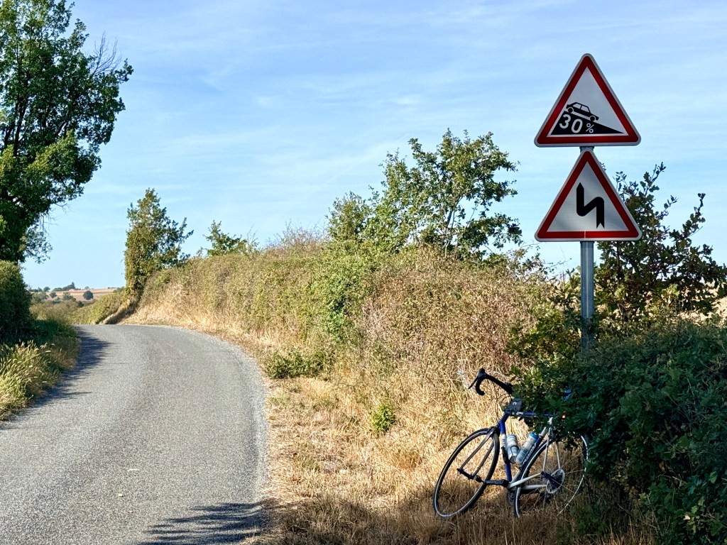
This climb is for you if you love to struggle and suffer on short very steep climbs.
The climbing starts steeply out of Arthès, then further up, after crossing the Le Cérou river, there is a solid climb that my Karoo showed as 15-16% (the sign at the top told downhill traffic that the gradient is 20% but it exaggerates).
But the brutally steep part is along the Chemin de St. Géraud and boy was it steep. My Karoo showed solid 21-22% (the sign at the top shows downhill traffic that the gradient is 30% – but again it exaggerates).
I rode this as an out-and-back because I wanted to climb all three hills around the Barrage and an out-and-back made this easiest. I also like to see all the scenery from both directions. Coming back there were some very steep climbs, although maybe not quite as steep as going out.
The whole out-and-back ride is about 77.6 km with 1850 meters (6,069 feet) of climbing.
Here’s the ride on Ride with GPS.
A Few Steep Hills
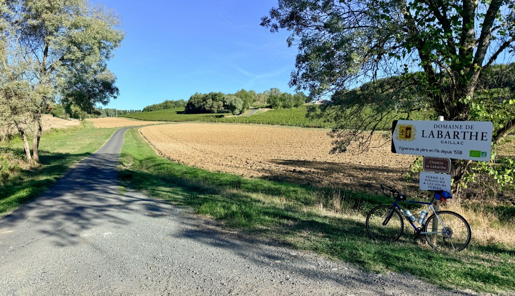
Here are some of my favorite short steep climbs around Albi, excluding the climbs out from the Tarn. I tried to put together a route connecting them, with mixed results. Here’s the route on Ride with GPS, and below is a brief description of the climbs.
Heading west from Sainte-Croix.
Just north of Castanet are what I call the Three Sisters. The left hand one, up the Chemin de Larroque is the steepest and hardest. The middle one, up the Chemin de Labarthe is the prettiest.
The climb up to Combefa from the south.
The climb up Cordes-sur-Ciel from the back. It follows the paved round to the back then finishes up the cobblestones. They are not super-steep, but they are cobblestones. From the front the cobblestones are longer, steeper, and rougher. I don’t think I would be able to do this one.
(I explored a road down below Cagnac-les-Mines but the road became too rough, so I rode back up to Cagnac. The hill coming back was actually the steepest climb on this ride, although not part of my plan.)
Another short but fun loop starts up Chemin de Caynac and climbs a delightful little hill leading to Puygouzon. We’d driven over this a few times and I wanted to ride it, so I put together a little loop from the start of the CRA club rides.
C12 – Les routes de Laurent Jalabert
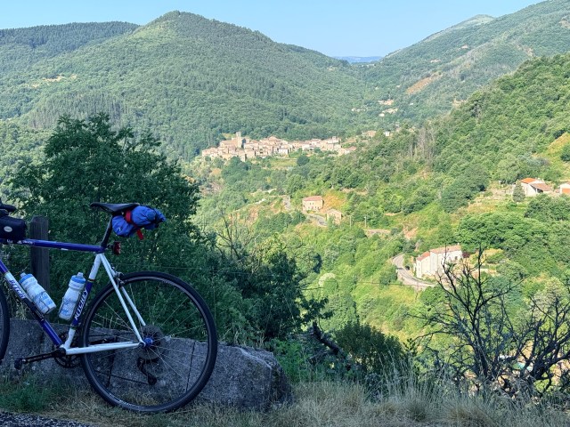
Laurent Jalabert is one of the great French cyclists. He never won the Tour de France but in 1995 he won the Vuelta a España, taking the sprint jersey and the climbing jersey as well. He won the points jersey in the Tour de France twice and the climbing jersey twice. He was born and raised in Mazamet, the start of this route.
The Tarn area celebrates him by listing one of their recommended rides as C12 – Les routes de Laurent Jalabert. It starts, of course, in Mazamet at Place Laurent Jalabert. The ride is about 80 km with 5,600 feet of climbing.
I drove about an hour from Albi to Mazamet and parked in the large free parking lot at 43.490659067140584, 2.379044459548387
I didn’t particularly enjoy the ride. There are two long climbs, one about 12 km and the other about 15 km. But there aren’t many good views except the short section around the high point at Pic de Nore. Most of the time you are riding in trees.
The road surface on the long descent from Pic de Nore is not always the best, and since you are in the trees, it can be difficult to see the rough road and occasional pothole. This road would be a better climb than descent, so maybe it would be better to do the loop in reverse.
Here’s the ride on Ride with GPS.

