
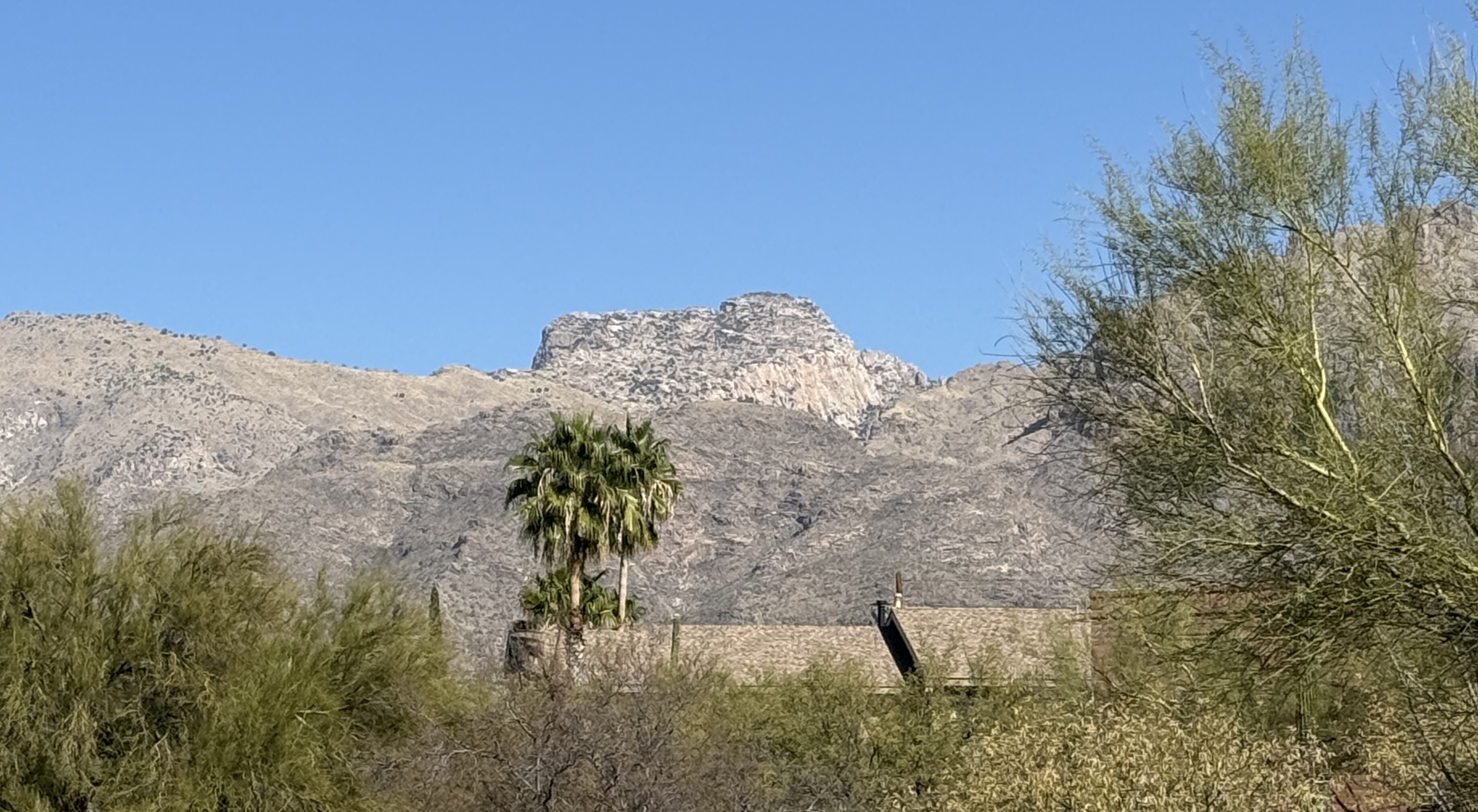
Table Mountain sits at the head of Pima Canyon, at the far end of the ridge that starts with Pusch Peak, goes over Bighorn Mountain, and ends up at Table Mountain. It’s very noticeable because it’s much whiter than the redder mountains to its East. From afar it looks almost like a big white slab covered with trees.
I’d wanted to climb it for a while, and had the fantasy that walking up the white slab would be like walking up a beautiful slickrock slab in Canyonlands. Sadly, reality was different.
So, park at the Pima Canyon Trailhead on E Magee Road (32.35333836810991, -110.94822398551938). From here follow the trail eastwards as it skirts round some beautiful houses and eventually reaches the canyon itself. Follow the trail easily up the canyon until you reach a huge open gully on the left that leads up to the dramatic rocky Cleaver on the ridge. However, don’t go up here.
After the big gully, the left side of the canyon comes down steeply. Possibly the best way up is to follow a sort of ridge just before the canyonside becomes too steep. For more information on that, see the black line and the description in Earthline.
Unfortunately I didn’t read that description and I continued up the canyon until the left side opened up in a huge bowl. I climbed up in this bowl, exiting to the right. You can see this route (and download the GPX file) on Ride with GPS. But I don’t recommend this way up as it was not fun at all and took a lot of concentration.
The “classic” way up to the base of Table Mountain itself is to continue round the corner from the big open bowl, to a steep gully that leads up to the grassy area above. This is the red line on the Earthline page and on the Stav is Lost map page. But this is apparently rather horrible too.
 Once you get up to the grassy area above the steep lower slopes, head up and rightwards to the obvious slope on Table Mountain itself. You can wander up wherever takes your fancy. The right hand side of the Table Mountain slope is the easiest, and the left hand side will take you to spectacular views of the cliffs looking down at Oro Valley. I looked for the most interesting way with rocks to scramble up.
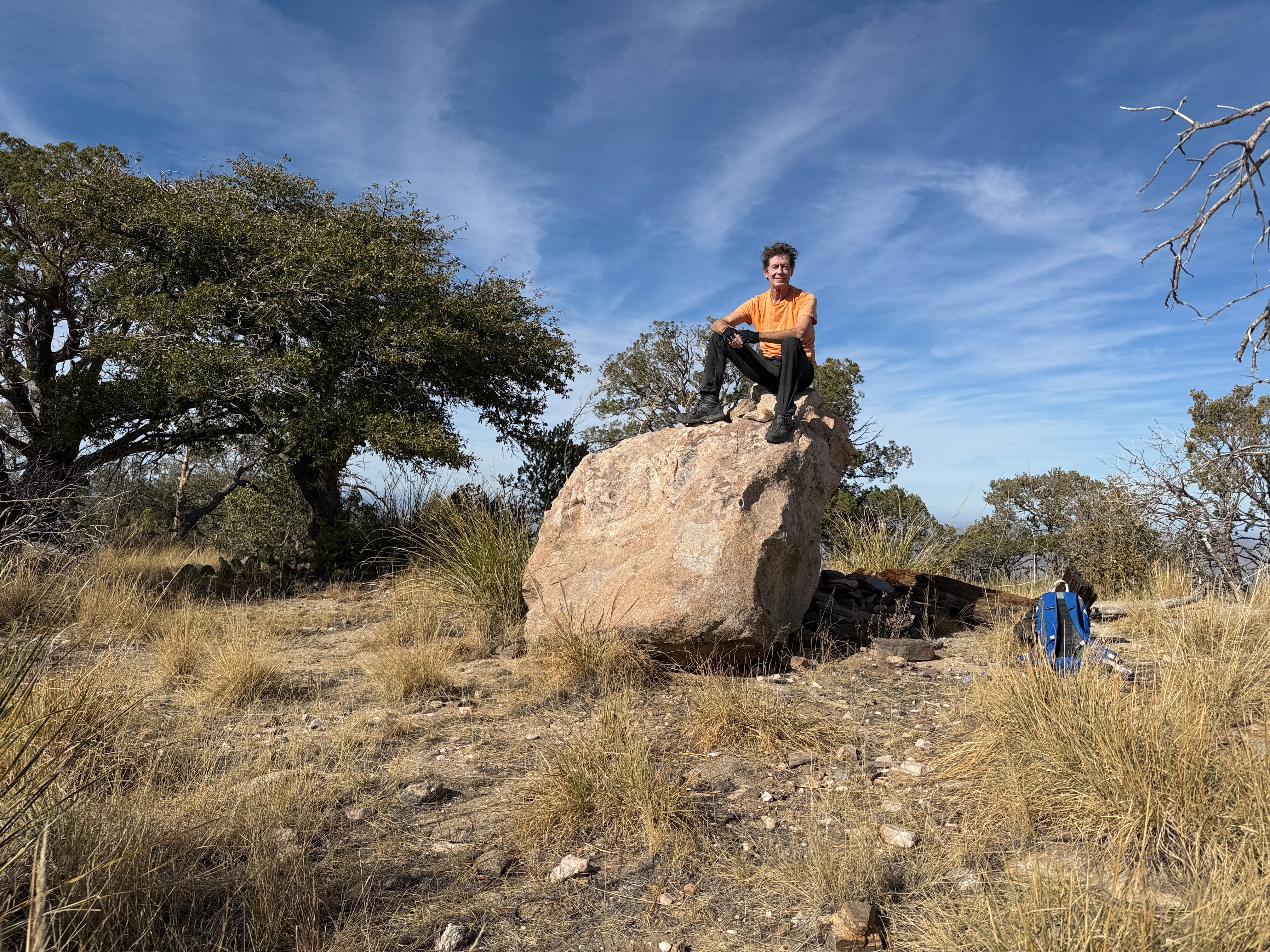
The top itself is fairly undramatic, with a big rock you can sit on for a photo.
Regardless of which way you came up Table Mountain itself, going down is easiest if you stay left (east).
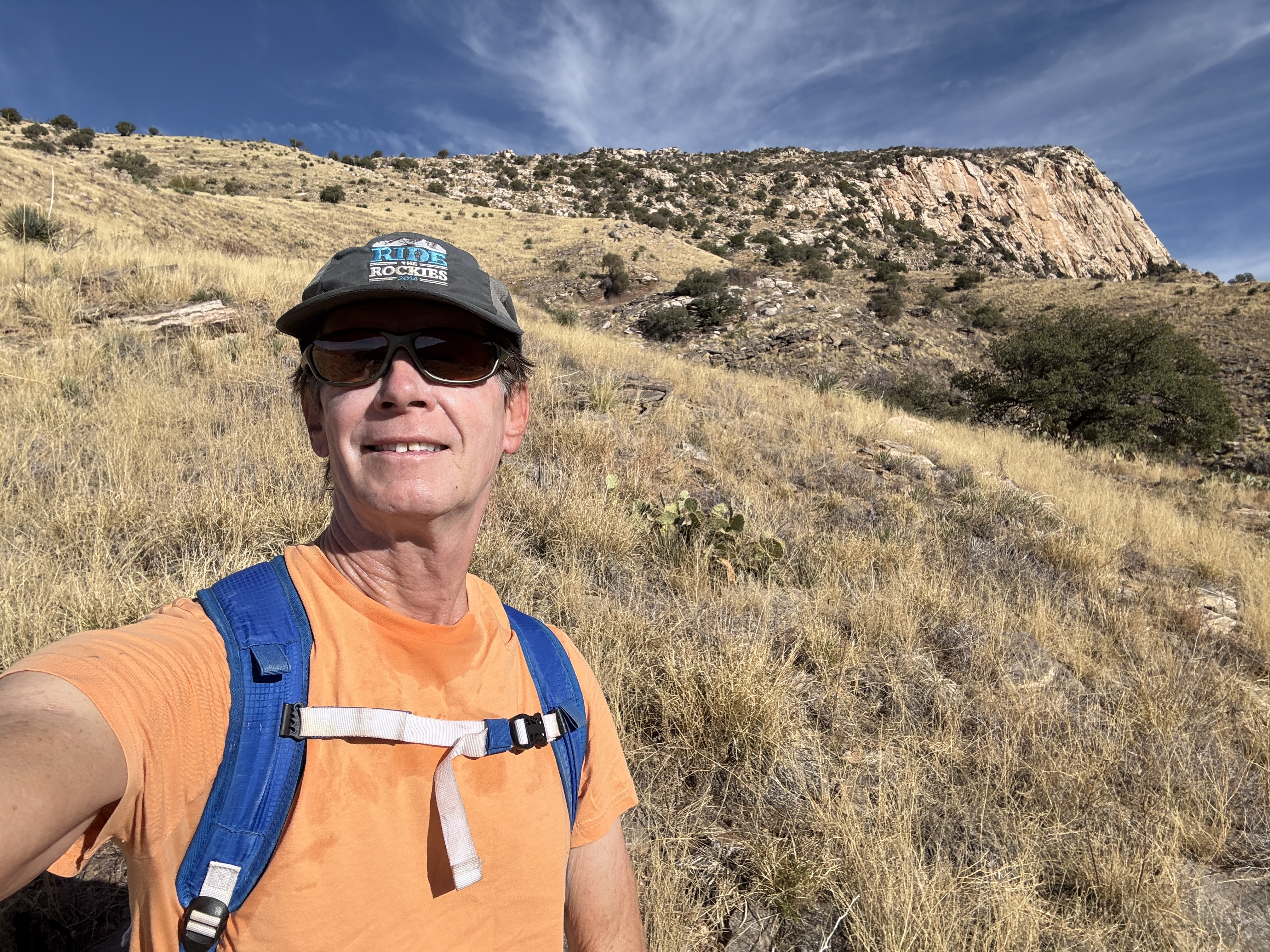
Whichever route you take, Table Mountain is a tough hike. It was not my favorite hike in the Santa Catalinas 😥. Hiked 12/17/24.
Links and Other Clicks
Here are some other pages that describe hiking Table Mountain. Maybe they will tell you better ways to leave the base of Pima Canyon 🙂
Earthline, which describes what is possibly the best way out of the canyon, and has lots of great photos. Leaving the canyon, I took a line up the bowl between the black and red lines.
Hike Arizona, which describes the trip as “quite ‘hairy’, maybe even unpleasant, and potentially dangerous.”
Stav is Lost, which has lots of great photos and also a map with lines showing routes. Leaving the canyon, I took a line up the bowl to the left of his red line.
Sirena’s Wanderings describes a two day trip up Table Mountain.
The route I took, on Ride with GPS.
