
May, 2023
KmM = Kilometer Marker
The Costa Blanca has lots of lovely rides in pretty and welcoming countryside. Most of the rides are never very long or very steep overall, although they sometimes have some short steeper sections. The roads are very good and there’s little traffic on many of the climbs. Of course, the Costa Blanca is most famous for its beaches.
I’d hoped to ride some of beautiful loops in the Costa Blanca but I had a knee problem for several months in early 2023. I decided I would just do shorter over-and-back rides, climbing various passes from both sides. If you want to find good loops, Cycle Fiesta has a page that describes some of the best loops in the Costa Blanca.
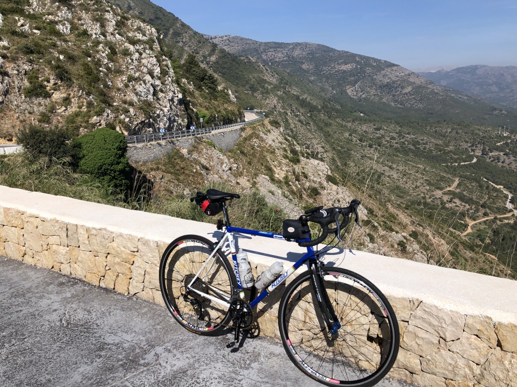
One thing I noticed in this area is that as you drive through the towns and villages, you drive over soooo many speed bumps. Another thing is that on most the rides I describe, there are no shoulders, but also very little traffic, so I always felt very safe and comfortable. I wouldn’t feel quite so safe on the connecting roads between the climbs as they are much busier.
Calp (Calpe)
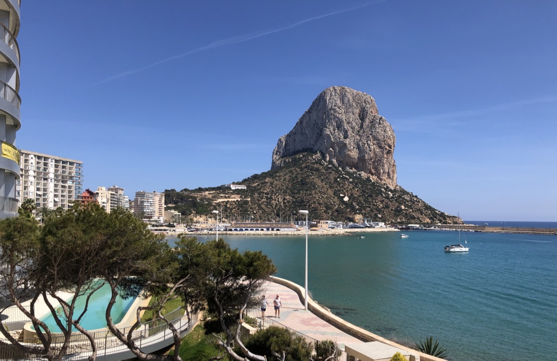
Calp (sometimes with a trailing ‘e’) is a nice tourist seaside town, with sandy beaches and clear water. There’s lovely promenade along the seafront (as you can see in the photo above), and a spectacular cliff at one end, the Peñon d’Ifach. This cliff appears to be almost insurmountable except by rock climbers, but there is a path up it that seems to end below a cliff, but then continues through a 100 foot tunnel created in 1918. Apparently you need to book an appointment to hike to the top.
The promenade continues along both sides of the Ifach, with the northern branch taking you past lots of restaurants, apartments, and hotels. The western branch is more interesting as it eventually leads you to the Old Town, which rises above the beach.
We decided to stay in Calp rather than in the hills because Tanya didn’t bring a bike with her and there’s more to explore in Calp than in a little village. I saw quite a few people riding out from Calp, but the roads are rather busier than I like. So I drove to the towns where I started my rides.
If you are planning on shopping, Mercadona is the supermarket for most of your basics. For a larger selection, and higher prices, My Mercat is a wonderful supermarket to visit next.
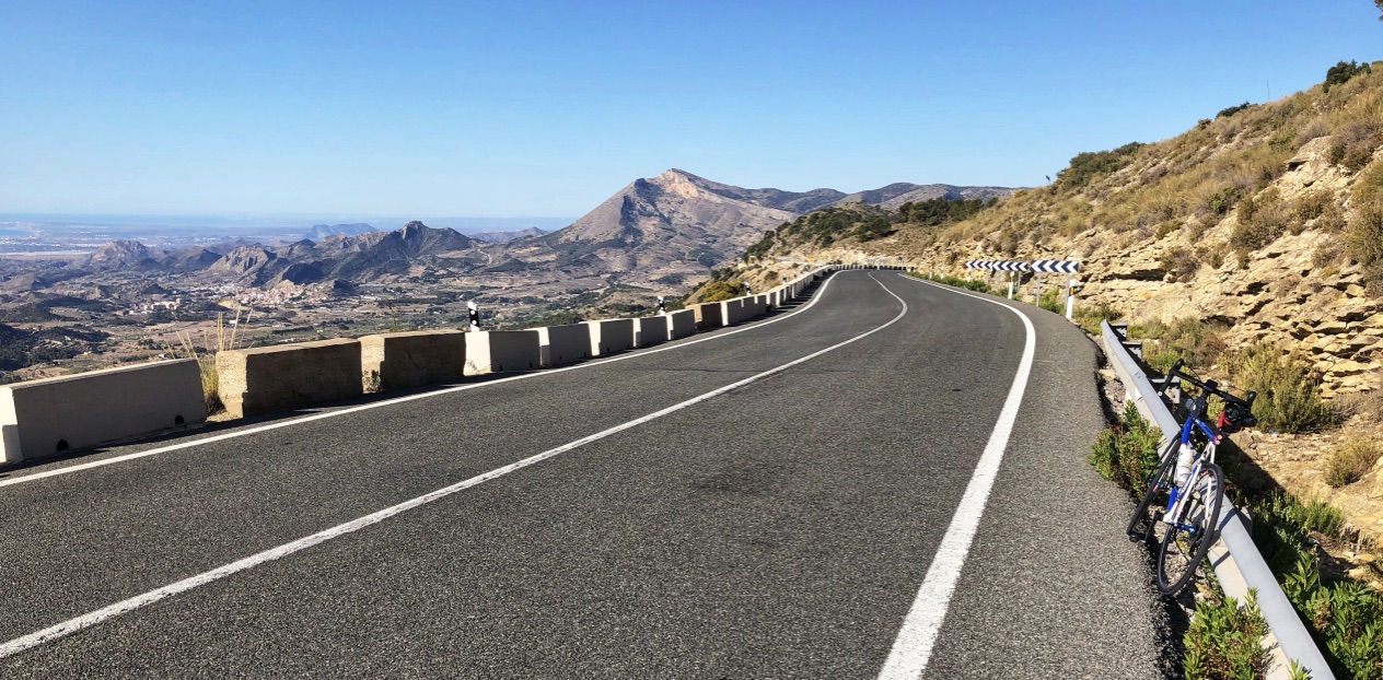
Coll de Rates
The Coll de Rates is a very popular ride from Parcent. If you are driving here there is a good parking area at the Parcent Cemetery: 38.74109154614976, -0.07186570534180495
The ride I describe starts at the cemetery in Parcent, climbs to the top of the Coll de Rates, rolls along to Tàrbena, descends to Bolulla, climbs back up to Tàrbena, takes a side trip to the high point of Port de Sa Creueta, rolls back along to the Coll de Rates, and descends to Parcent. The whole ride is 52.6 km (32.7 miles) with 1,217 meters (3,993 feet) of climbing. If you just ride from Parcent to Bolulla and back it’s about 41 km.
After the first few switchbacks, you can see the road to Coll de Rates slashing across the hillside to the left and you follow this until just below the top there’s a lovely viewpoint that lets you look back the way you came. One more switchback and you are at the top.
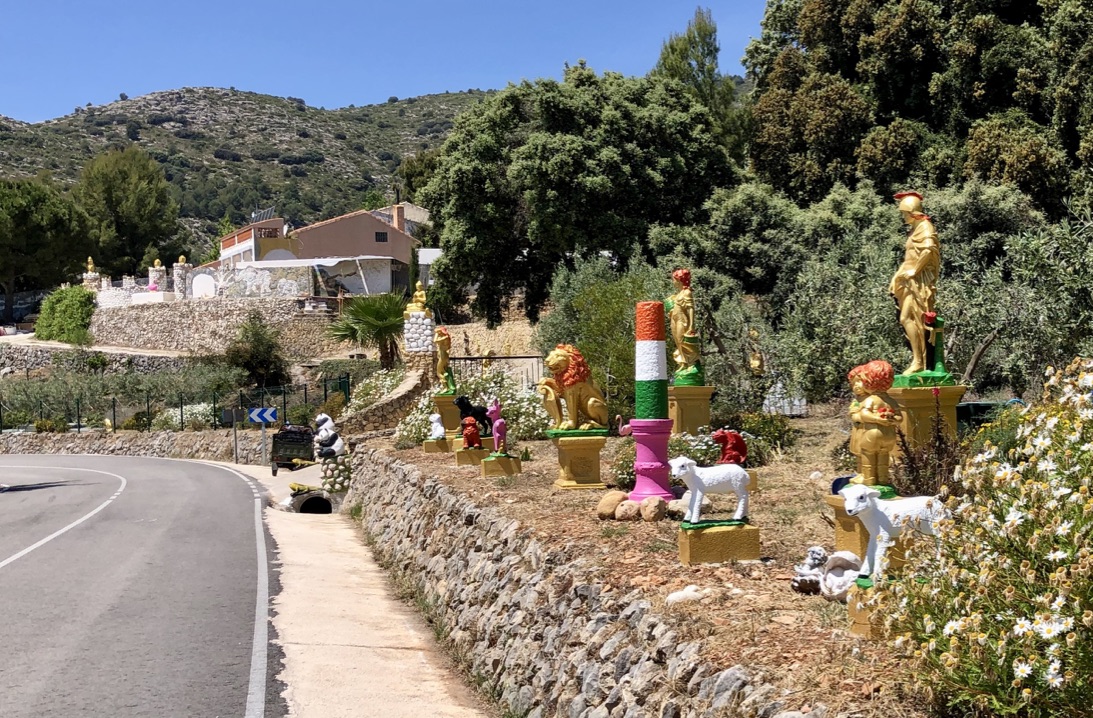 A fast descent down the other side leaves you believing it will be downhill all the way to Tàrbena, but don’t get your hopes up. The road rolls, then finishes with another climb to the outskirts of Tàrbena. Just before Tàrbena you’ll see an amazing house and garden filled with gold statues, white lambs, pandas, golden buddhas. The photo here doesn’t do it justice.
Descend through Tàrbena to Bolulla, with some lovely tight switchbacks near the bottom. Turn around at the 4-way intersection and climb back up to Tàrbena, with big cliffs ahead of you, and initially through small pine trees. The gradient is generally easy, with a few short sections of 9%.
Just after Tàrbena, a road leads left to Castell de Castells. Take this road for 6 kms to the high point at Port de Sa Creueta. The road initially climbs, but then gently rolls along for several kilometers with occasional short steep climbs, the steepest of which is the final km to the Port, which has some 13%.
Return back to the main road, turn left, roll along to the final climb to Coll de Rates, then enjoy the wonderful final descent to Parcent (or the cemetery if that’s where you parked. If you are only going to climb Coll de Rates from one side I’d recommend from Parcent.
Here’s the route on Ride With GPS.
port de Vall d’Ebo
 Another lovely ride with a feeling of remoteness and wildness. As an over-and-back from Pego to Vall d’Ebo it’s pretty short, and it’s worth adding the delightful climb up the Camino de Petracos towards Castell de Castells. This whole out and back is about 34.4 km (21.4 miles) with 864 meters (2,835 feet) of climbing.
I parked in Pego, just a few hundred meters from the start of CV-712, the road up to port de Vall d’Ebo. Here’s the location in Pego: 38.836313, -0.113223
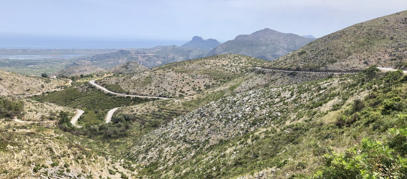
Ride up CV-712 for 7 km to the top. This road is narrower than the road up Coll de Rates, and has even less of a shoulder. As you climb higher the terrain gets more barren and bleak, and you can see the road up above you, bordered with white concrete blocks.
From the top do a shorter descent down to Vall d’Ebo. Do NOT go into Vall d’Ebo unless you specifically want to visit the town. I got very confused trying to make my way through the town (ignore this part of the GPX file if you download my GPX file).
It’s much easier to simply bypass the town by following the CV-712 towards Val d’Alcalà, until the road turns sharp right across a bridge. At this point turn left following the sign for Piscina Municipal. In a couple of hundred yards turn right following the sign for Castell de Castells.
This next section of road is basically a one-lane road but it’s quiet and wonderful. A short way out of town you are faced with some 13% then further up some 12%, but apart from that it’s all very reasonable. I saw several groups of cyclists on this road, and it’s apparently a popular group ride on the weekends. If you are only going to climb port de Vall d’Ebo from one side I’d recommend from Pego.
Once you reach the point where it’s obviously going to be downhill, turn round and ride back to Pego. Here’s the ride on Ride with GPS.
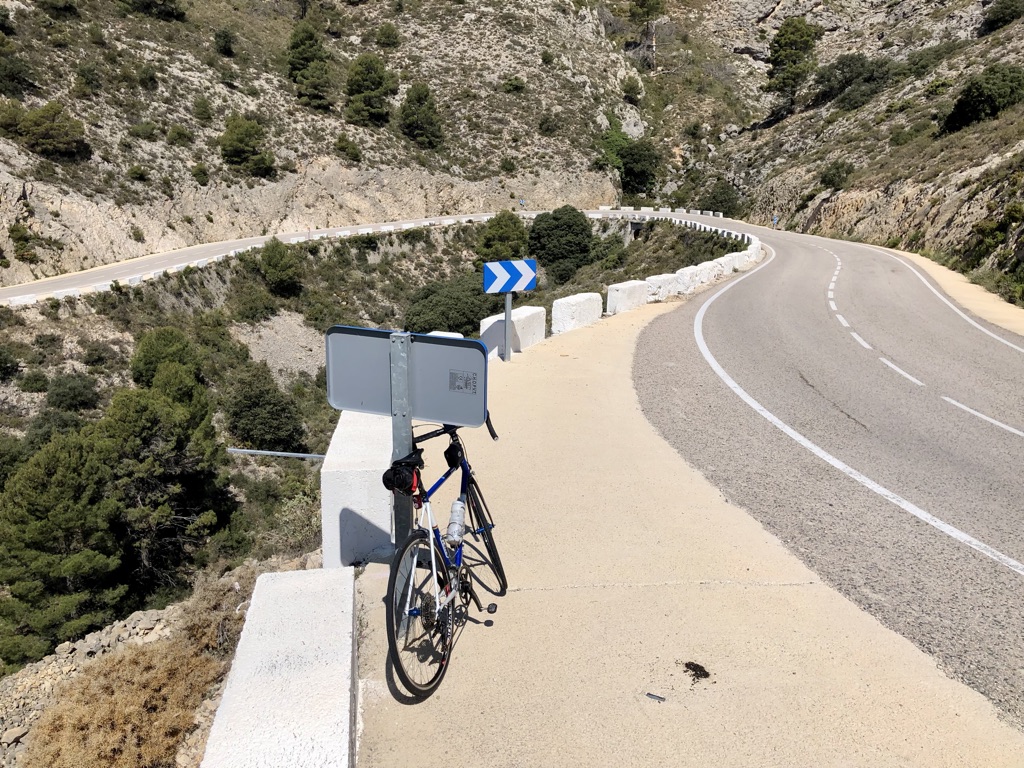
Coll de la Garga
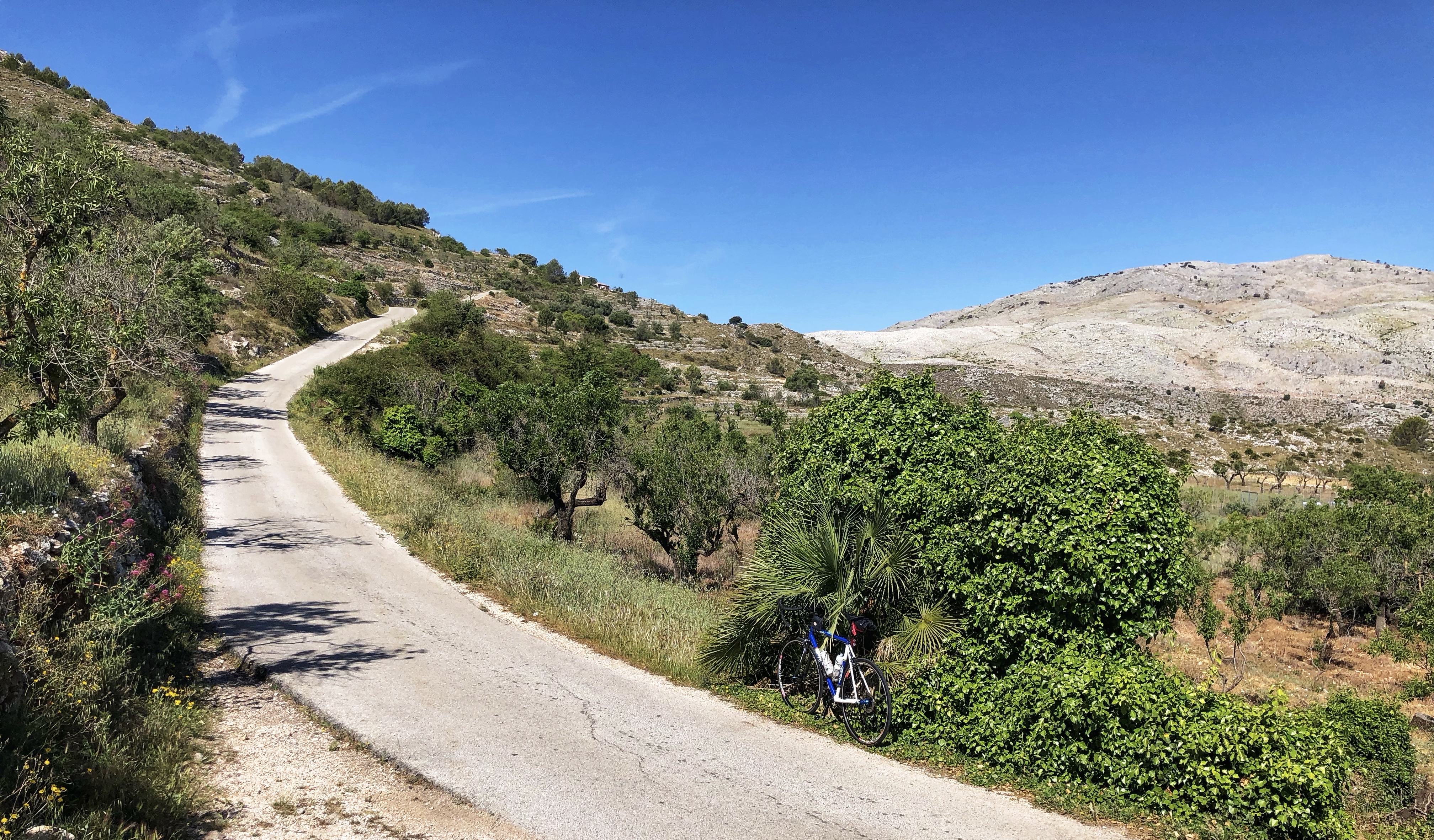
This was my favorite ride in the Calp region. As an over and back it’s short but sweet, with lots of short sections between 12% and 17%. Much of the route is along a quiet one-lane road with lovely views. The whole ride is about 36.3 km (22.6 miles) with 1050 meters (3,445 feet) of climbing. I parked in Orba at: 38.78283392384406, -0.061011409123697964
Head back to the CV-715 then follow that north for 1 km, then turn left on the CV-721. Follow this for 11 km up the Vall de Laguar, through Campell, Fleix, and Benimaurell, to the top of the pass. After Benimaurell the road gets much narrower and more fun, with lots of short steep sections interspersed with easier gradients.
At the top of the pass, head down for almost 6 km until you reach the CV-720. There are a few sections of concrete road on this section. Turn round at the CV-720 and climb back up, with plenty of short steep sections. If you are only going to climb Coll de la Garga from one side I’d recommend from Orba.
Here’s the route on Ride with GPS.
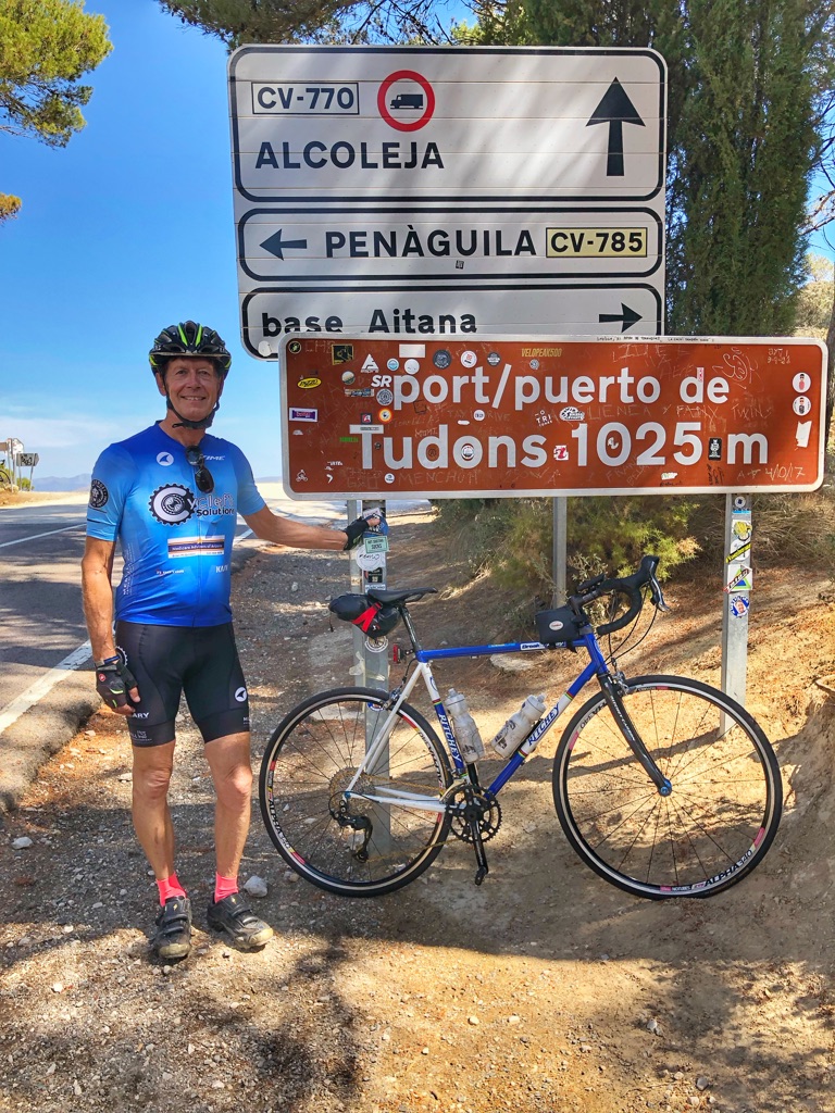
port de Tudons
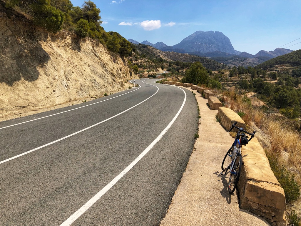
Port de Tudons is a very popular climb, and one of the longer climbs in the area. From the south it’s about 17 km, while from the north about 8 km. Here I describe doing the over-and-back from Finestrat to Penàguila. This ride is about 60.6 km (37.7 miles) with 1,325 meters (4,347 feet) of climbing. It’s a good ride but not particularly scenic, except for the part up to Sella. After that you are in the trees for much of the time. I parked in Finestrat at 38.56937078090152, -0.2145424812236492
From here, ride west on the CV-758. Almost immediately you are faced with a steep little hill with 8-9% gradient. But then it’s rolling and after about 5 km you turn right on the CV-770. From here it’s 17 km to the Port de Tudons. The angle eases dramatically and the scenery is lovely all the way to Sella, which you reach in about 5 km. It’s quite remarkable how many terraces there are on the hillsides and it makes me wonder how much work it took to create them. There’s a good shoulder up until Sella but it then pretty much disappears.
 After Sella you are riding more in the trees so the views also disappear until you reach the Port de Tudons and the views open up in front of you. Turn left here and head down the CV-785 to Penàguila, which you reach in about 8 km. I turned round where the main road reaches the city exit sign. Climb easily back up to the Port de Tudons, making sure you turn left after about 7 km, onto the unsigned white road. And remembering to turn left for Finestrat about 5 km below Sella 😀.
If you are only going to climb port de Tudons from one side I’d recommend from Finestrat.
Here’s the route on Ride with GPS.
Alcoy
Alcoy (sometimes Alcoi) is an industrial and university town of about 60,000 people. It’s in the hills away from the coast, and spans an area dominated by several gulches that are spanned by big bridges. The area around the Plaza de España seems to consist of hills and one-way streets. Across the river is the long flat N-340 which seems to be the main shopping street.
Xorret de Catí
From Castalla, Xorret de Catí is one of the most famous climbs in the area. It’s short but brutal, with gradients up to 20%. From Petrer the climb is much more reasonable, with some steep sections (especially the last 2 km) but nothing as steep as the Castalla side. The over-and-back is about 40.3 km (25 miles) with 1,257 meters (4,124 feet) of climbing.
I parked in Castalla at 38.5865327209283, -0.6725790803266865. This was a somewhat arbitrary spot as there is lots of parking along this road.
From Castalla the road rolls for a few kilometers before rearing up. Shortly after it steepens you’ll see a sign on the right saying 20%. It’s not all 20% but most of it is steep, with a couple of sections reaching 20%. In less that 4 km of steep climbing you reach the top. Descend down the other side to Petrer. The final 3 km are on a much wider, smoother road with a good shoulder. This is great on the descent, but climbing back up I enjoyed the quieter, narrower, twistier road above more.
Turn around at the big roundabout in Petrer and climb back up to the top, then ride your brakes down the brutally steep Castalla side 😀. If you are only going to climb Xorret de Catí from one side I’d recommend from Castalla.
Here is the route on Ride with GPS.
port de la Carrasqueta
This is a fairly gentle route, with varied gradient on the Alcoy side and a rather consistent 4-6% on the Xixona side. The over-and-back is about 51.3 km (32 miles) with 1,054 meters (3,458 feet) of climbing.
The basic goal from Alcoy is to head southwards on the N-340. The N roads are usually quite busy but this one has been basically replaced by the much faster A-7 autoroute. The N-340 is now fairly quiet, has a good surface and a good shoulder, and is a nice climb. Once you get to the roundabout on the south side of this hill, follow the CV-800 towards Xixona.
The climb to the pass is just over 5 km, then the descent to Xixona slashes across the hillside for an eternity before a few big switchbacks change direction. Turn around when you get to the big roundabout.
Heading back up to the port de la Carrasqueta you’ll see the road high above as it slashes across the hillside. The views on this side are much better than on the Alcoy side. If you are only going to climb port La Carrasqueta from one side I’d recommend from Xixona.
Here’s the route on Ride with GPS.
port de Benefallim & port de Confrides
These are two very different climbs, both starting in Benilloba, which is why I did both as part of the same ride. The whole ride is about 44 km (27.3 miles) with 1,043 meters (3,422 feet) of climbing. I parked here in Benilloba: 38.69920092912035, -0.3919701429124031
port de Benifallim
From Benilloba head west on CV-70 for 0.5 km to where the CV-787 heads left, signed to Benefallim. The next section up to Benefallim is wonderful, with incredibly variable gradient, including some vicious rollers that reach up to 20%.
In Benefallim, turn right on the CV-785 then very soon turn left on the CV-780. Climb this to the port de Benefallim. It’s a nice climb but the climbing is not nearly as dramatic as the section up to Benefallim.
port de Confrides.
Back in Benilloba, continue east on the CV-70 to Benasau and through this. I found this section rather tedious and wondered why the port de Confrides is supposed to such a good ride. Well, about 4 km from the pass, the ride blossoms, it opens up and becomes a little gem of a climb, with lots of beautiful switchbacks.
Here’s the route on Ride with GPS.
Preventori
This ride leaves directly from Alcoy and climbs up and across the cliffs to the north of town. From the Plaza de España to the turnaround at the CV-795 is about 12.6 km with 340 meters of climbing.
Alcoy has a lot of one-way streets so I won’t try and describe how to start this ride. Either find your own way to the CV-796 or download the GPX file from Ride with GPX. The fun part of this ride is the very steep initial climb, which reaches 16%, and the short but vicious climb at the turnaround which touches 18%.
Here’s the route on Ride with GPS.
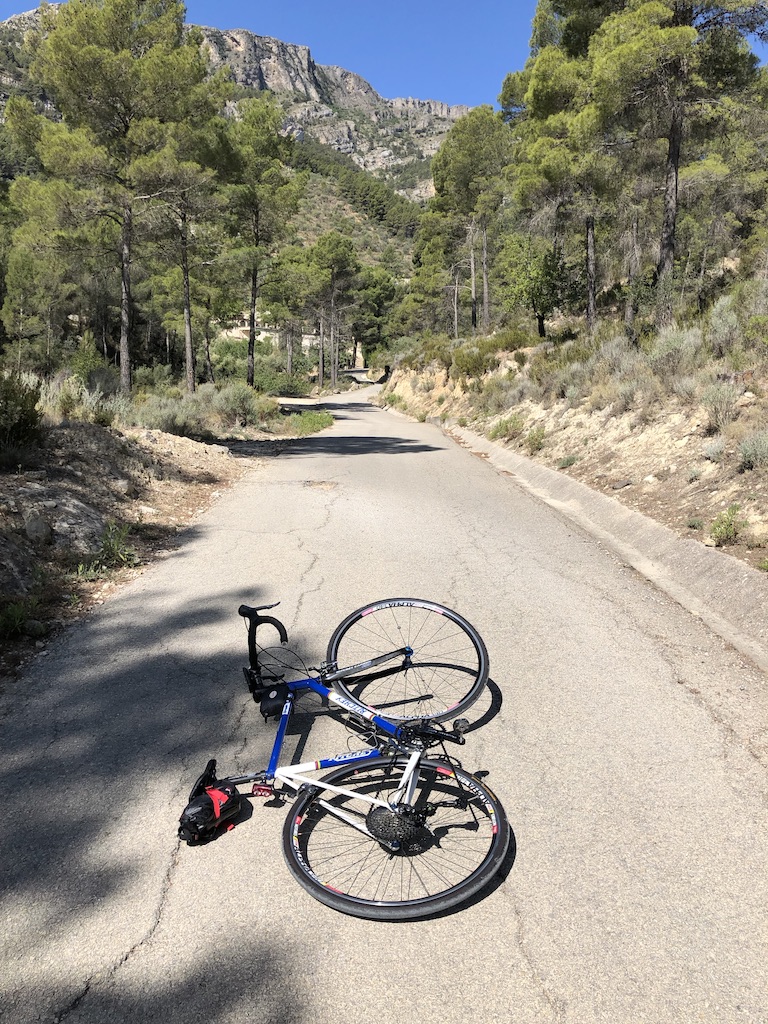
Castell de Cocentaina & Mas de Llopis
This was our last day here so I thought I’d do a couple of short hard rides, which both start in the same place in Cocentaina. I parked here: 38.74874691683838, -0.44018254550191244
The whole ride (both climbs) is about 18 km with 875 meters of climbing.
The first climb, up to Castell de Cocentaina, the obvious castle above Cocentaina, is less than three kilometers long, but definitely steep – plenty of 10-15%. The only interesting decision is when you get to the obvious car park part way up. You turn left on the much narrower concrete road and follow this to the car park near the top. From here a good walking path takes you to the castle, if you choose to visit it.
The second climb, Mas de Llopis, is a lot longer, and sections of it are on a much rougher road. Don’t do it unless you are up for an adventure. The picture below shows some of the road in the last 2 km; fortunately the earlier road (shown above) is much better. The ride is steep with plenty of 12-21%. When it reduces to 10% you feel this is resting time 😀. I stood in my easiest gear for all the steeper sections.
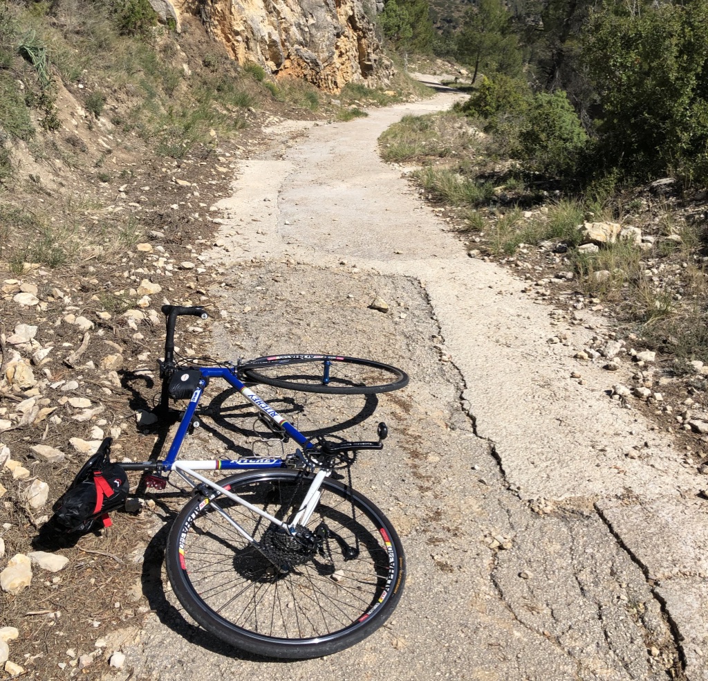
Most of the way you are following signs for Font de la Boronà, but eventually you’ll see a sign pointing left to Mas de Llopis, 2.3 km further. This is where the road gets rougher. Enjoy! Eventually the “road” turns to dirt; turn around here and ride your brakes down.
These two climbs are so different to most of the climbs I’ve described, that I’m including links to them on Cycle Fiesta: Castell de Cocentaina and Mas de Llopis.
Here’s the route on Ride with GPS.
One Last Photo
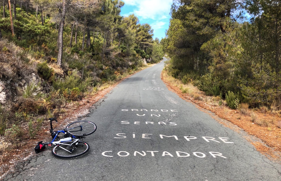
This was my favorite lunch in Alcoy (and everywhere else in Spain): toast with mayo/butter, Jamón Serrano (cured ham) and tomatoes. I’m showing this photo mainly because if I send someone a link to this page, it seems to show the last photo in the page, and the picture of the crappy road above is not the best advertisement for the cycling in this region 🙂
Links and Other Clicks
There are some sites which provide lots of great information about the cycling in the Costa Blanca.
You can get a 1:100,000 scale Road Cycle Map to North Costa Blanca. Besides showing lot of cycling routes and has 11 suggested loops.
Cycling Fiesta has an interactive map that allows you to see and read about all the climbs in this area.
Cycle Fiesta’s suggested best loops of the Costa Blanca
Cycle Fiesta offers a self-guided tour: Mountains of the Costa Blanca
Cycling Locations has a page about cycling in the Costa Blanca
Epic Road Rides has fantastic information about some of the best long loop rides.
Siempre Ciclismo has a list of the best climbs to do.
Ride with GPS page where you can download the GPX file for the Magnificent Seven, an epic one day ride which takes on seven of the most challenging climbs in the Northern Costa Blanca.
You can download a 74 page PDF brochure from this page, showing the road and mountain bike rides in the Costa Blanca
