

Boulder is a wonderful town in a beautiful setting, with lots of great rides easily accessible from town. I’ve lived in Boulder more than half my life so perhaps I’m a little biased – but I don’t think so. I’ve done many more rides in the area than I describe here because I’m mainly only describing rides I’ve done since starting these web pages.
But here are separate pages about a couple of rides I did before these web pages. I wrote about them elsewhere and figured I might as well include them here.
- Riding up Mount Evans from Boulder, although I don’t know why anyone in their right mind would want to do this.
- Riding the Boulder Big 8, one of the hardest rides I’ve done.
Boulder has some good gravel rides in the vicinity, and I describe a few of them in the Colorado Gravel page.
Flagstaff and Super Flagstaff (S-1)
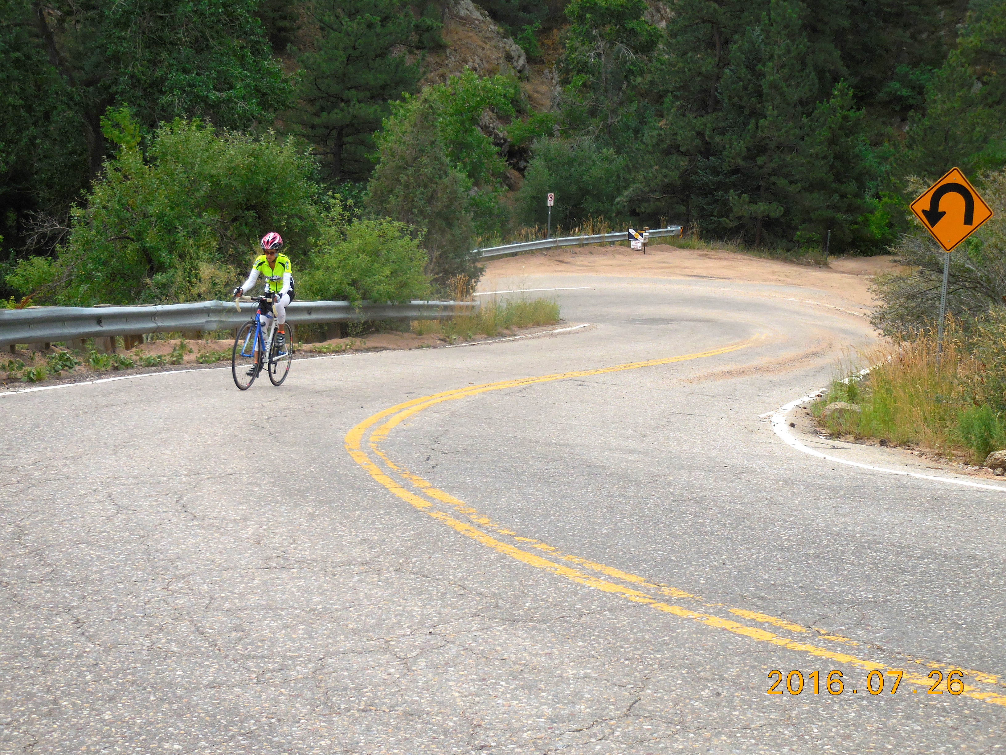
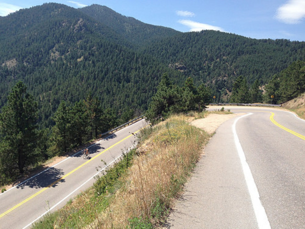 Flagstaff Mountain is the iconic climb in the Boulder area. It starts right out of town and is a very popular and spectacular ride, with many twists and turns, steep sections and easier sections, and amazing views of Boulder and the University as you come down.
Since there are many ways to approach Flagstaff, I’m describing the distances and elevation gained from the bridge at the west of Baseline Rd, where the road turns sharp right and starts climbing steeply. If you start at the intersection of Canyon and 6th Street, you add 1.3 miles and another 350 feet of climbing.
The most popular way to do this climb is to ride to Flagstaff Amphitheater. This ride is 3.7 miles with 1,138 feet of climbing. It climbs steeply for 0.7 miles to the Flagstaff House restaurant, then the angle becomes much more gentle as the road twists and turns through the trees and past various bouldering area. After about 3 miles turn right and follow the road to the Amphitheater.
The much harder finish (Super Flagstaff) is to continue up the main road instead of turning right to Flagstaff Amphitheater. The next section has the hardest and steepest climbing on the ride. From the bridge to the mailboxes at the top is 4.6 miles with 1,972 feet of climbing.
Optional extra: From the mailboxes, continue along the steeply rolling road to Gross Reservoir. As a round trip, this adds 7.8 miles and 1,300 feet of climbing.
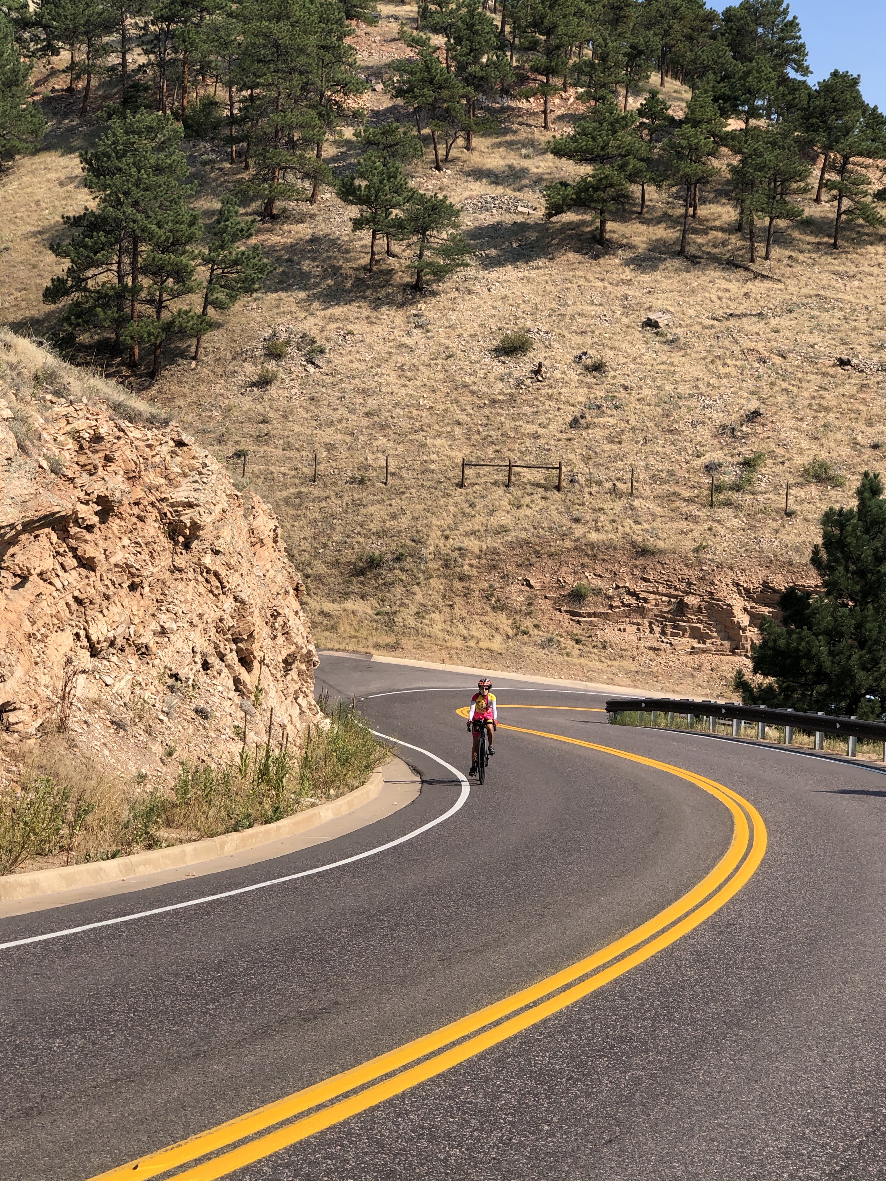
Magnolia Road (S-1)
The steep initial section
Viciously steep, this is the hardest climb in the Boulder area. It’s only 4.5 miles long but climbs 2,170 feet. It’s #87 in Summerson’s list of the hardest climbs in the country.
From the Justice Center at 6th & Canyon, continue up Boulder Canyon for 4.5 miles to where Magnolia Road heads off to the left.
The first 0.7 miles are brutally, consistently steep. After that the gradient eases, with steep stretches interspersed with easier riding. After two very short downhills, at around 2.8 miles the road rears up again but fortunately this steep section is much shorter than the initial section. A few more switchbacks and you finish where the road crests and starts to go downhill.
The descent is fast, steep, and fun, but watch out for possible gravel on some of the tight corners. Once down, head up Boulder Canyon for a few hundred yards and ride Sugarloaf Road.
Sugarloaf Road (S-1)
The Sugarloaf Road climb is 4.7 miles with about 1,900 feet of climbing. It is almost a partner ride to Magnolia Road, starting just a few hundred yards up Boulder Canyon from Magnolia. It’s not as brutally steep as Magnolia, but still has some long steep sections in the 9-11% range. Do both Magnolia and Sugarloaf and you will have had a good day.
Sunshine Canyon
The beautiful upper section
This is a very varied climb with plenty of climbing in the 9-13% range. The climb is about 5.7 miles with 1,695′ of climbing.
Start at the intersection of 4th and Mapleton then head west up Mapleton. Almost immediately you pass the trailhead for the lovely South Ridge of Mt Sanitas.
Climb steadily up the road until at 1.8 miles you make a very sharp turn to the left. (There is a parking area on the right for the West Trail up Mt Sanitas. If you enjoy hiking, a fun hike is to do the West trail, the South Ridge, and the East Ridge in a day. The East Ridge trailhead starts just west of 4th and Hawthorn.)
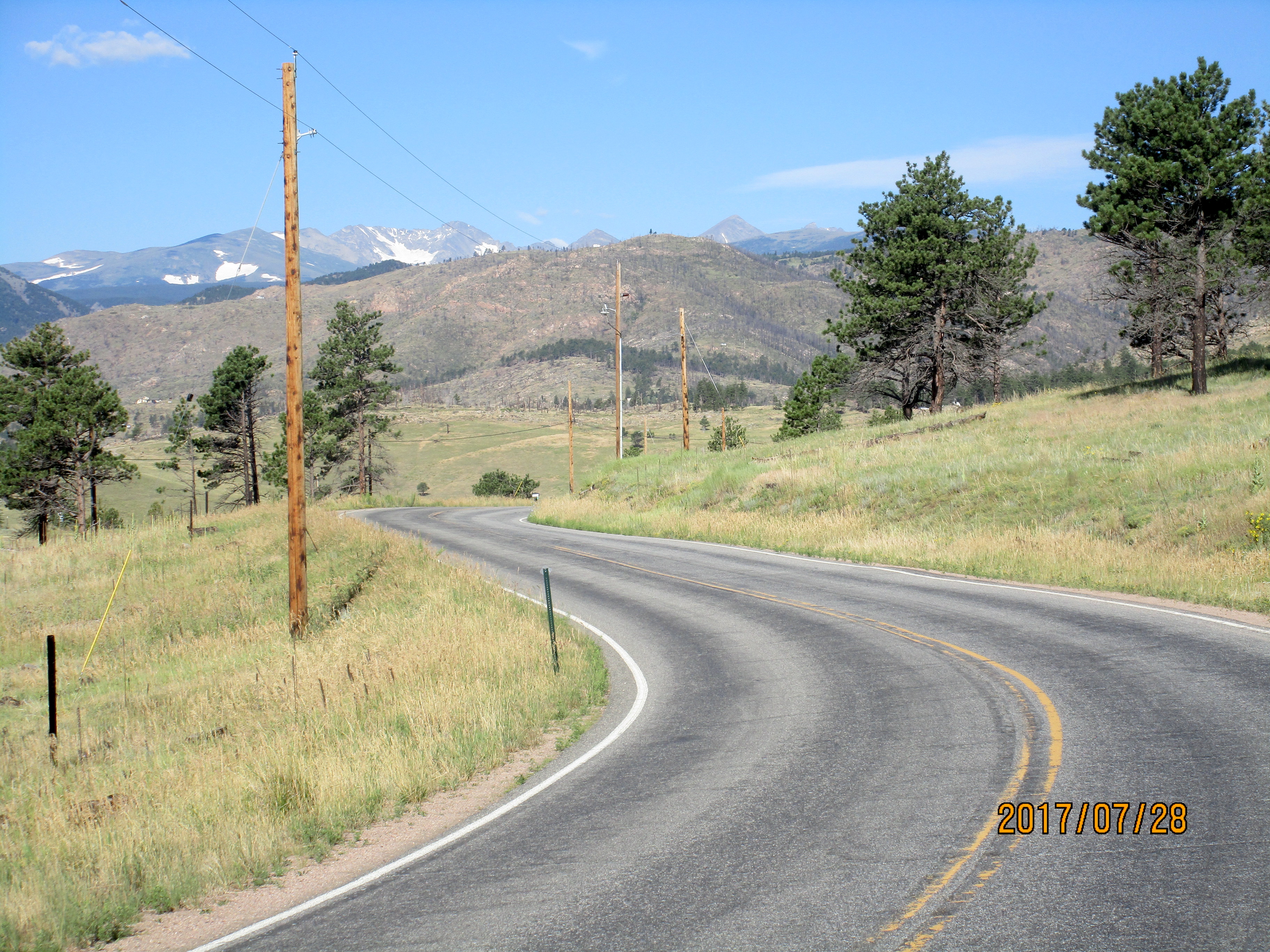
At 2.6 miles you’ll see Poorman Rd on the left. This is a well-graded dirt road that connects Four Mile Canyon and Sunshine Canyon. The next section is the hardest part of the climb – it’s steep and sustained with some 12%. At the top of this, at about mile 3.2 you go slightly downhill and from here on, flats and downhills alternate with short vicious climbs. The upper section is beautiful, with wide open meadows and lovely views of the Indian Peaks. As you near the end of the paved road you can see barren slopes above you, ravaged by the 2010 Fourmile Canyon fire that destroyed 169 homes.
The paved road ends at an intersection. If you turn right you can ride to the little town of Sunshine. If you continue straight you can climb up the dirt road to Gold Hill.
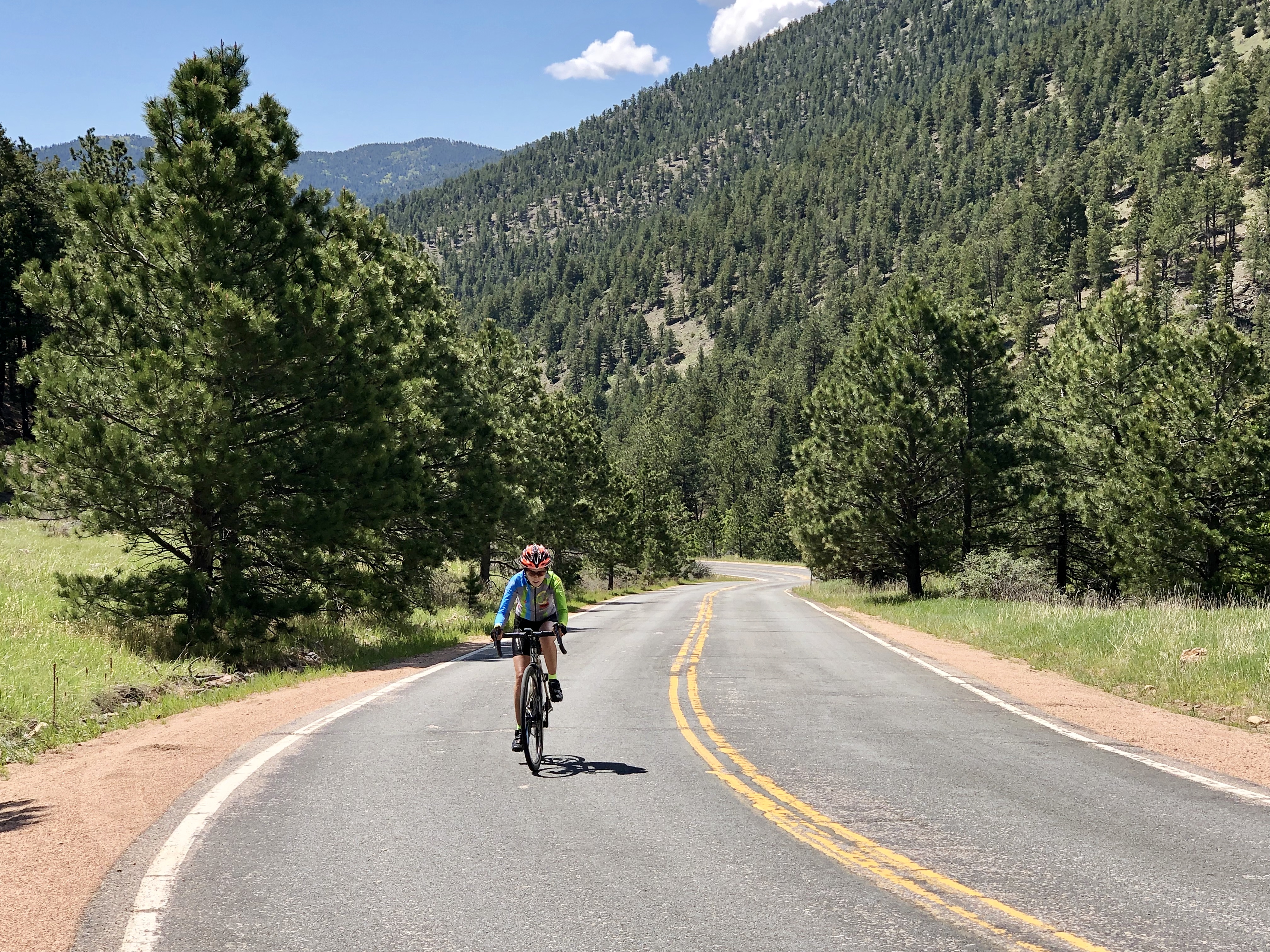
Four Mile Canyon
 This is a lovely climb, never very steep, but very pretty and extremely twisty. It’s a good ride to do if you want to climb but don’t want anything too difficult. It’s about 5.5 miles with 1,130 feet of climbing.
Starting in the west of Boulder at the intersection of Canyon and Arapahoe, ride up the canyon for 1.8 miles then turn right into Four Mile Canyon, following the sign for Salina. (Alternatively you can ride the creek path, which is a good gravel trail.)
There are quite a few houses along Four Mile Canyon, so it never feels remote, but not enough houses for it to feel residential. In 1.8 miles Poorman Rd turns off to the right, almost doubling back on the main road. Poorman Rd is a well-graded dirt road that connects with Sunshine Canyon and is a popular climb for people wanting to make a loop of Four Mile and Sunshine Canyons.
At about 3 miles you’ll pass a house perched spectacularly on the edge of a big cliff, then at 3.8 miles you pass Logan Mill Road on the left. This is a fantastic dirt road climb that leads over to Sugarloaf Road. Just after this you’ll see the hillsides covered with dead trees, burned in the 2010 Fourmile Canyon fire. At 4.8 miles you reach an intersection. The left turn takes you to Wall Street and the Switzerland Trail. Turn right and ride up through Salina, past the church and the fire station. Turn round at 5.5 miles.
(When I rode this in July, 2017, the road through Salina was mainly dirt. The pavement was destroyed by the 2013 flood. I was told that the road is scheduled to be repaved in late 2017 but the person I talked to did not know how far up the pavement would go.)
Lee Hill Drive and Deer Trail Road
 If you want some steep and sustained climbing right out of Boulder, Lee Hill and Deer Trail are just what you need. You’ll find relentless 8-9% on Lee Hill, and grades up to 16% on Deer Trail. The whole climb is just under 6 miles with about 2,000 feet of climbing. It’s a great way to get some tough climbing in a relatively short time.
Start at the intersection of Broadway and Lee Hill Drive (if you are driving here you can park about 0.4 miles up Lee Hill on the left, in the Fourmile Canyon Creek Trailhead parking lot).
Follow Lee Hill Drive easily until it curves to the right, where the road steeps. At about 1.3 miles turn left following the sign for Lee Hill Drive (Olde Stage Road continue straight up the hill).
You are now faced with a few curves and a gradient which hits 13%. After the road heads up to the right the gradient eases and you now have pretty consistent 8-9%, with some 10% thrown in. About 1.5 miles from the intersection with Olde Stage you reach the first summit which is followed by a downhill of just under 0.5 miles. Then another climb of just over a mile, with gradients of 8-11%, leads you to the top of Lee Hill Drive. At this point you’ve climbed about 1,325 feet, most of it in the 3 miles since Olde Stage Road.
Unfortunately (or fortunately) you still have more climbing – about 685 feet in 1.5 miles. Turn left on Deer Trail Road and follow this as it twists and turns up through pretty country, alternating between steep ramps of 12-13%, brutal ramps of 15-16%, sections of only 9-10% where you feel you are now on easy ground, and actual easier terrain. The paved road finishes at Overlook Lane.
Go back down Deer Trail then either turn right and go back the way you came, or turn left and drop into Left Hand Canyon. You now have several possibilities: turn left and climb up to Ward, turn right and make your way to Jamestown, or continue down Left Hand Canyon and head back over Olde Stage Road.
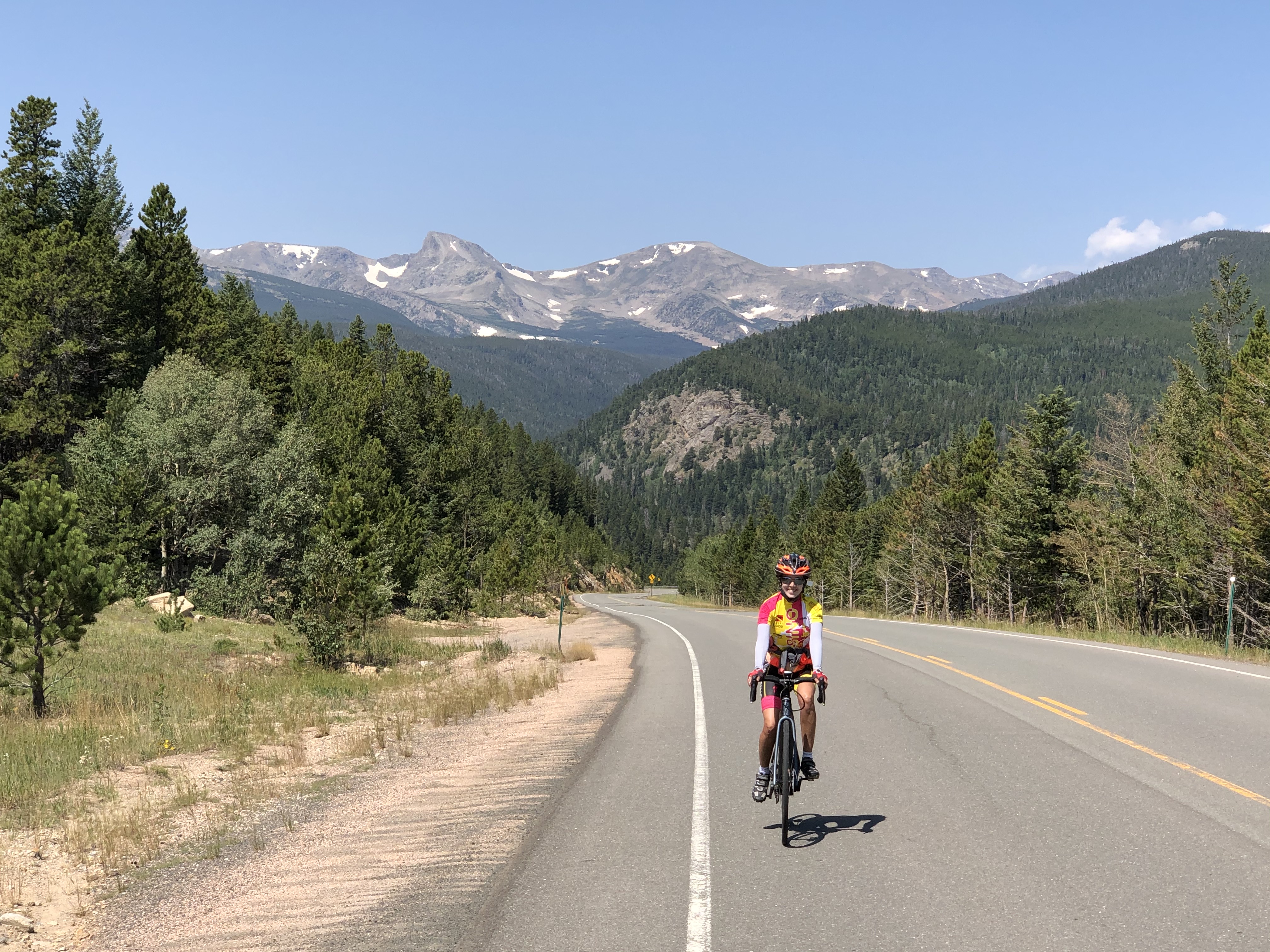
Jamestown and Super Jamestown
The top of the 13-14% section
The ride to Jamestown is a very popular ride, pretty and never too steep. The Super Jamestown ride, which continues past Jamestown for another 4 miles is one of my favorite rides in the area, relentlessly steep, and with a very Alpine feel. The whole Super Jamestown climb is 12 miles with 2,763 feet of ascent.
There are several ways to start the ride to Jamestown, and I’m describing it from the Greenbriar, at the intersection of Hwy 36 and Lefthand Canyon Drive, a few miles north of Boulder. Many people park on the north side of Lefthand Canyon Drive near the intersection. The first 2.5 miles is a gentle climb up to the intersection with Olde Stage Road, at which point there’s a big parking lot on the right.
The canyon now narrows and the road twists and turns gently until it splits in 2.5 miles. The left turn goes up to Ward, and the right hand road leads you in another 3 miles to the small town of Jamestown where you can relax and get food and water.
Continuing on from Jamestown is where the riding gets steep and more Alpine. The gradient increases immediately and continues on steeply, until a straightaway with a consistent 13-14% gradient leads to a big left-hand turn. After this, the gradient eases to only 10-11% 😀. Continue up the twists and turns as the road slashes across the hillside until the angle eases after about 4 miles, and you reach Sparn Way on the left.
If you don’t mind riding on dirt, it’s fun to make a big loop by continuing for another three miles of rolling dirt to the Peak to Peak Highway, from where you can turn left and descend through Ward, or turn right and descend through Raymond and Lyons.
Boulder-Lyons-Raymond-Nederland-Boulder Loop
 A wonderful loop in the mountains north and west of Boulder, this ride is 67 miles with 5,600 feet of climbing. The classic loop is Boulder-Lyons-Raymond-Ward-Boulder but as of summer 2016 there’s still a lot of construction work going on in Left Hand Canyon as a result of the 2013 floods. So instead of descending through Ward, continue along the Peak to Peak Highway to Nederland and descend Boulder Canyon. This extra section on the Peak to Peak is beautiful, but the ride down Boulder Canyon is not so much fun.
From the north end of Boulder, where Broadway meets Highway 36, ride almost 11 miles to the traffic light and T-junction. Turn left and ride into Lyons. At the traffic light and T-junction in Lyons turn left on Highway 7 to Allenspark. After about 11.7 miles, turn left at the sign that shows 1 mile to Riverside and 3 miles to Raymond. In Raymond, there’s a small store where most cyclists stop to refuel (in August 2020 the store was closed, with a For Sale Sign).
After refueling, continue 1.7 miles to the Peak to Peak highway. Turn left and follow the Peak to Peak highway for 8 miles to the turnoff to Ward. At this point you can descend into Ward, either to do the classic loop or to refuel again. Otherwise continue almost 12 miles to the roundabout in Nederland. Follow the signs for Boulder and ride for about 15 miles down Boulder Canyon into Boulder. Turn left and follow 4th Street and other streets back to where you started.
Update: June 2021. The construction that was so evident in 2016 has been completely finished so the better and more classic ride is to come down from Ward, not continue on to Nederland. One way to do this loop is to drive out to Buckingham Park parking area at the intersection of Lefthand Canyon Drive and Olde Stage Road. Ride down to Hwy 36 then do the ride as described above, turning left at Ward and continuing down Lefthand Canyon Drive back to where you parked the car. This gives you a ride of about 48 miles with 4,600 feet of climbing. If you prefer to start in Boulder, a common way to finish the ride is to ride back over Lee Hill Road.
Links and Other Clicks
